Alert
Alerts
Col Girardin
Description
A pilgrimage site, the path of Lake Sainte Anne has many alternative routes to the Ubaye or the Lac Miroir.
From the car park, go down and turn left, cross a bridge and turn left again. Get on the wide path on the left bank of the stream of the Col du Tronchet. As the trail refines, cross the stream by a bridge and take on a rise in curves.1 - At point Costes du Col Tronchet (2 164m), turn right on a path that remains levelled, cross the stream again by a wooden bridge and follow the descending false flat. Go around a large mound, and continue to the left.2 - Exit the forest on a plateau, go around it by the left and follow the last climb to the lake Sainte Anne.3 - Reach to the lake and turn left on the GR. Take a short climb and continue on the ascending false flat. At the foot of the last climb, go up to the right in the shale until Col Girardin. The same route is used for the return.
Technical Information
Altimetric profile
Starting point
Points of interest


Additional information
Public transport
05 Voyageur: 04 92 502 505 Tourist Office of Queyras: 04 92 46 76 18
Access
Pass Ceillac and continue until the bottom of the valley.
Ambiance
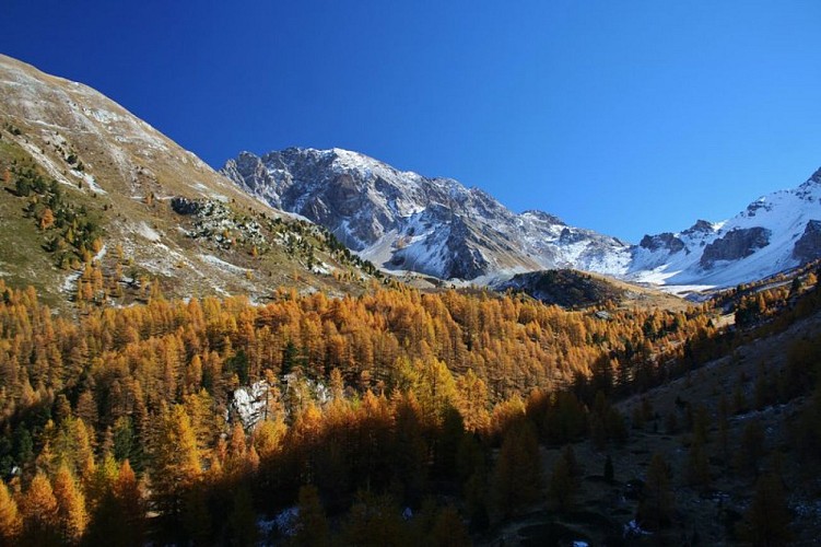
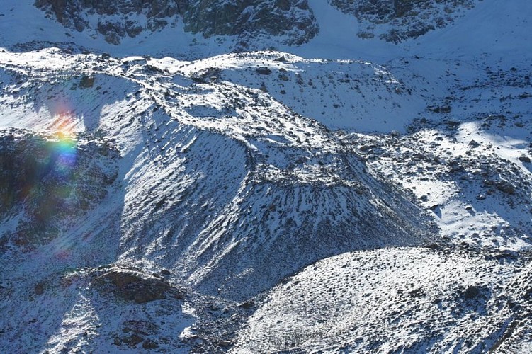
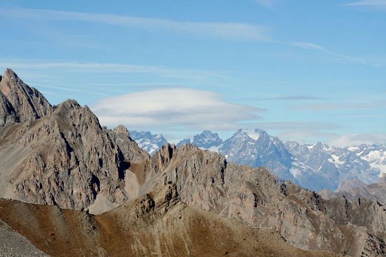
Guarded by the peak of Mount Fonte Sancte, the highest point of Queyras, Lake Sainte Anne, very accessible, offers a high mountain atmosphere. Steep walls and rock glaciers adorn this remarkable atmosphere.
Arrival
Fond de Chaurionde
Departure
Fond de Chaurionde
