Alert
Alerts
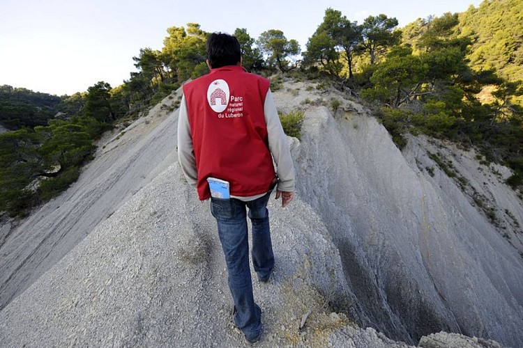
Geological trail
Description
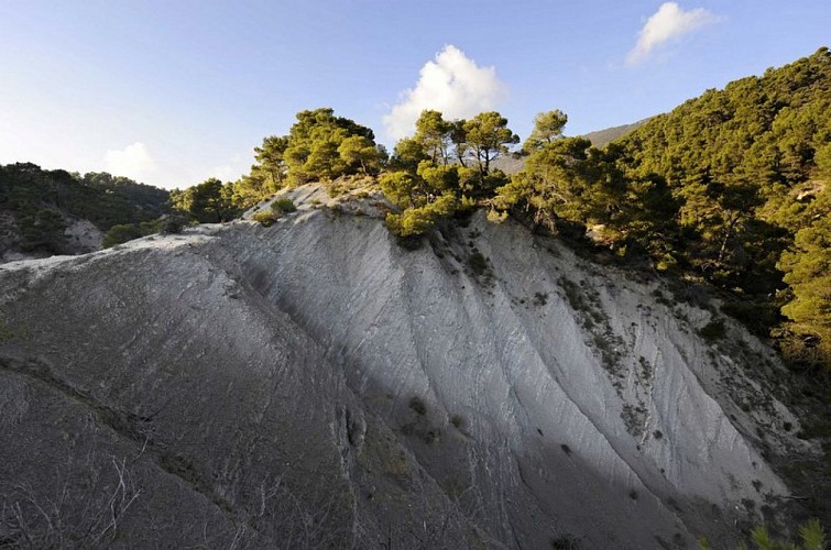
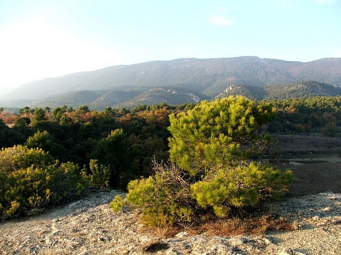
This stroll on the slopes of southern side if the Grand Luberon is intended for the curious hiker for whom geology remains a mystery...
From the town hall, go up the slope of the Gaye, then take a left at the fountain. At the crossroads "Cime de Vière", turn right and take the rise. The tar gives way to a track. Take the track and head towards the massif along the farmlands. Then, 350m after a left turn, reach a small mountain pass. Continue straight on the track.
1 - At the crossroads "Le Couleron" (point 586), continue on the track to the right. Pass the sheep pen Jas de Pécou, then the "Ravin du Loup", and finally reach a tank (point 609).
2 - At the tank, turn right and go down the path. Lower down, go back on the track and continue down to reach a paved road. Continue straight along several croplands and reach the altitude point 439, 1km / less than a mile further.
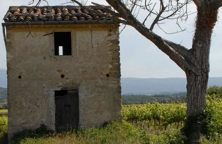
3 - Take a right onto the path. After the grove, move forward between two fields, go straight at the next intersection, then cross the "Ravin du Loup" to the right. Continue by passing several houses, turn left once and come out on the upper streets of Cabrières d'Aigues.
4 - At the crossroads, turn right and take an immediate right again. At the bottom of the ramp, turn left to return to the starting point.
Technical Information
Altimetric profile
Starting point
Points of interest


Additional information
Advised parking
8 mai 1945 car park, below the town hall.
Advice
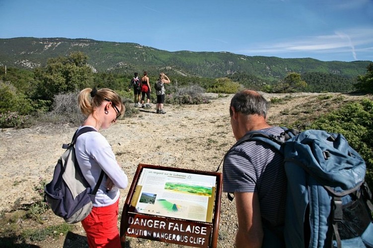
After point 2, caution with your ankles in the descent. Follow carefully the specific markings of the geological trail, made up of arrows on wrought iron stands.
Access
At 11km from Pertuis (A51), through the D9.
Ambiance
« Cabrières d'Aigues is a favourable location to discover geology. We have designeda geological trail to answer a few simple questions: What type of rock is this? When and how was it formed? What is the origin of landscapes? Here, the hiker travels through millions of years, from the ocean from the Mesozoic era, responsible for the limestone of the Grand Luberon, to the use of these same limestone by man in the 19th century. ». Stéphane Legal, geologist of the Luberon RNP.
Arrival
Town hall of Cabrières d'Aigues
Departure
Facing the town hall of Cabrières d'Aigues
