Alert
Alerts
36. Malhortie Trail – Starting point: Touville-sur-Montfort Town Hall
Description
This route offers a generous introduction to the Norman countryside, combining unexpected heritage, contrasting landscapes and intriguing architectural features.
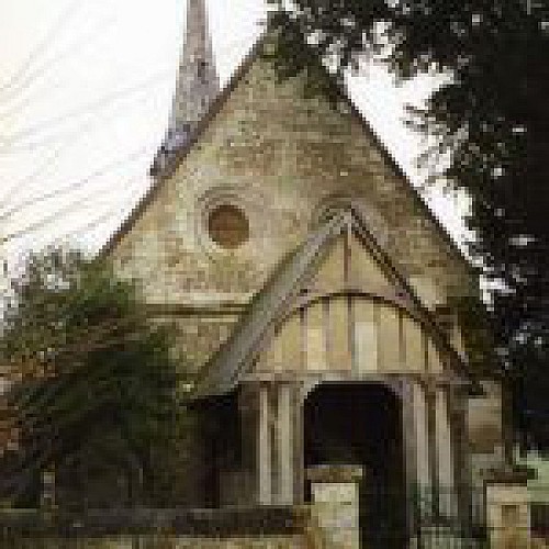
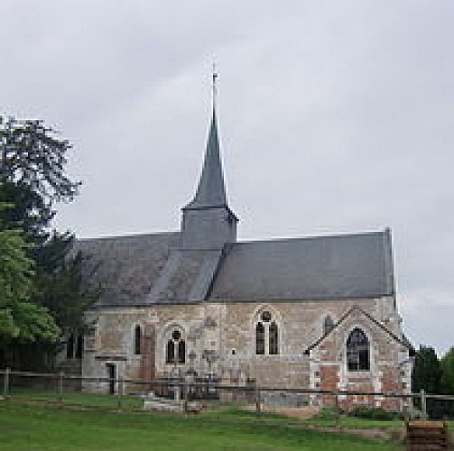
In Touville-sur-Montfort, the built heritage is remarkably diverse. Opposite the church stands a Renaissance half-timbered manor house with an elegant and imposing silhouette, while near the end of the route a Belle Époque villa evokes the refined atmosphere of Deauville. Two distinct eras and two very different worlds, separated by only a few hundred metres. The church itself is well worth a visit: its Romanesque nave dates from the 13th century and was enhanced in the 16th century with beautiful Flamboyant Gothic twin windows and an elegant half-timbered porch. Manor houses and traditional thatched cottages further enrich this varied architectural landscape.
The scenery changes constantly throughout the walk. Forest covers around a quarter of the route across two long sloping sections, before giving way to sunken bocage lanes, open farmland and inhabited hamlets.
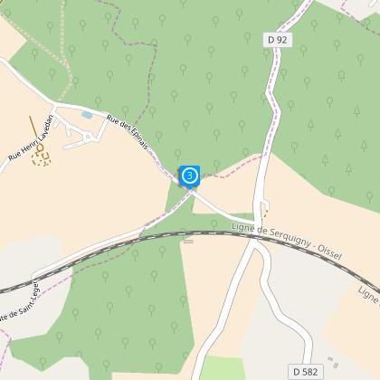
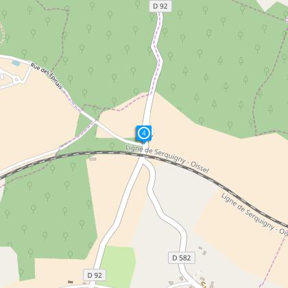
The trail also features two unexpected engineering structures. One bridge crosses a normally dry stream that can become a rushing torrent during heavy storms, while the other spans a railway line on an attractive stone-and-brick viaduct. These discreet yet elegant structures add an extra touch of interest to a walk full of surprises.
A Norman hike where architecture, nature and hidden curiosities combine to create a memorable experience.
Technical Information
Altimetric profile
Starting point
Steps
Points of interest
Data author
