Alert
Alerts
Sommet de la Bigue (1653 m)
Description
This hike, starting from the village of Thoard, follows the markings of the great crossing of the Prealps. In its first part, which may seem a little difficult, the path winds through a scrubland area before reaching a magnificent beech forest.
The hike continues on the shady side of the Siron massif to reach the crest at “la Bigue” and offer a superb panoramic view.
Technical Information
Altimetric profile
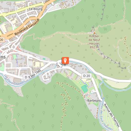
Starting point
Additional information
Environments
In the country
Forest location
Village centre
Panoramic view
Updated by
Office de Tourisme Provence Alpes Digne les Bains - 24/11/2025
www.dignelesbains-tourisme.com
Report a problem
Contact
Phone : 04 92 36 62 62
Animals
Yes
