Alert
Alerts
Type of practice
Walking
Very easy
2h45mn
Presentation
Description
Map
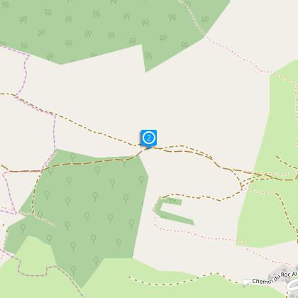
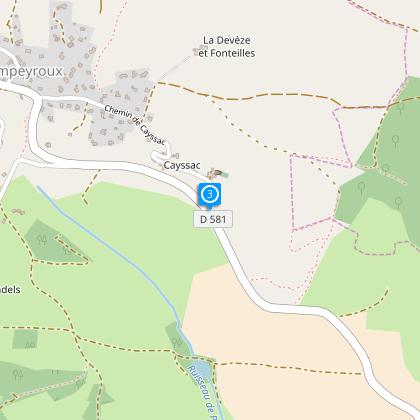
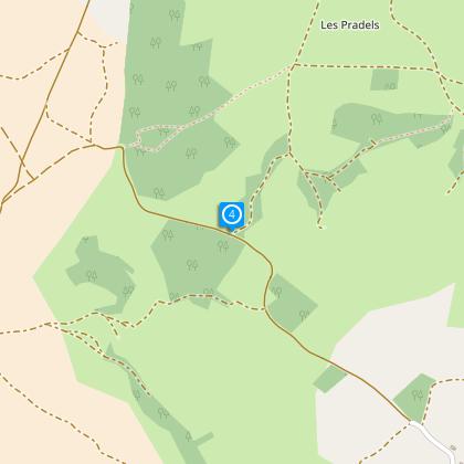
Steps
Ratings and reviews
See around
Chemin des fontaines

Description
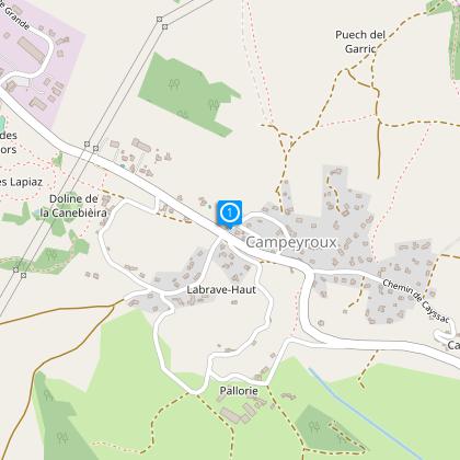
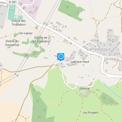
Situation : Quitter Bozouls direction Rodez par la D988. Avant Lioujas prendre à gauche direction Campeyroux.
Parking : A l’entrée du village au croisement avec le GR.
En parcourant un vrai terroir caussenard constitué par de nombreuses parcelles délimitées par des murets séculaires et encore bien exploitées
Technical Information
Walking
Difficulty
Very easy
Duration
2h45mn
(1d)
Dist.
9 km
Type of practice
Walking
Very easy
2h45mn
Show more
Altimetric profile
Starting point
Rue du Causse
,
12740
La Loubière
Lat : 44.4035Lng : 2.65305
Steps
Data author

Maison du tourisme, 17 Rue Aristide Briand 12000 Rodez France
Ratings and reviews
To see around