Alert
Alerts
Mountain bike link (L6) Ile Chambod - Viaduc de Cize Bolozon


Description
A mountain bike link from the Ile Chambod leisure park to the famous Cize-Bolozon viaduct.
Ride along the River Ain in the exceptional setting of the Gorges de l'Ain.
Round trip, ideal for VTTAEs
Technical Information
Altimetric profile
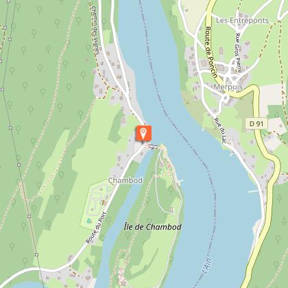
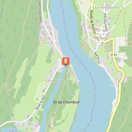
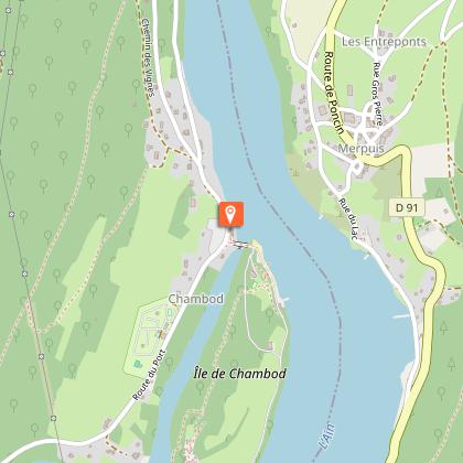
Starting point
Points of interest


Additional information
Updated by
Bourg-en-Bresse Destinations - Office de tourisme - 01/06/2026
www.bourgenbressedestinations.fr
Report a problem
Environments
Overview on river
Mountain view
Forest location
Waterside
Lake view
In the country
River -5 km away
Distinctions
Listed PDIPR
Label VTT - FFCT
Open period
All year round daily.
Contact
Phone : 04 74 22 49 40
Email : accueil@bourgenbressedestinations.fr
Website : https://www.bourgenbressedestinations.fr
Type of land
Ground
Hard coating (tar, cement, flooring)
Grit
Animals
No
