Alert
Alerts
Tour du Sulens circuit
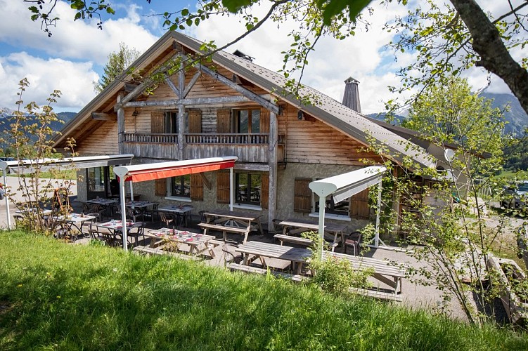
Description
In the heart of the alpine meadows of the Val Sulens, discover the panoramic views of the Sulens mountain.
From the Plan-Bois pass, follow the road towards Manigod, then take a right on a horizontal track which crosses meadows and then climbs towards the Plan du Tour, via Les Lanches and Bois Noir.
Follow the track downhill via zigzags, then leave it in order to follow the path tour du pays 'Tournette Aravis'. Pass in front of the alpine meadow farm Cret Vermant and rejoin a large track which leads to the farm the Pezieres, then to the Botte Pass.
Leave 'Tour de Pays' on the left, then take right to 'Plan Bois' pass throught Mont Derriere Forest, Chez les Gay, Les Rottes and Frass Chapel. Last part of the walk take place on a asphalt road joining Plan Bois Pass
Technical Information
Altimetric profile
Starting point
Date and time
- From 01/06/2027 to 31/10/2027
Additional information
Tips
A Tournette-Bornes-Aravis hiking map is on sale at the Tourist Office.
Updated by
Office de Tourisme de Thônes Cœur des Vallées - 26/03/2026
www.thonescoeurdesvallees.com
Report a problem
Environments
Mountain view
Mountain location
Open period
From 01/06 to 31/10 : open daily.
Contact
Phone : 04 50 02 00 26
Email : infos@thonescoeurdesvallees.com
Website : https://www.thonescoeurdesvallees.com
Type of land
Not suitable for strollers
Location complements
Departure only accessible by car.
Topo guides and map references
Topo guides references :
Topoguide Randonnées sportives on sale at the Tourist Office
Map references :
Tournette Bornes Aravis hiking map on sale for €5 at the Tourist Office.
Guidebook with maps/step-by-step
1/ From the Col de Plan-Bois, take the road down towards Manigod, then turn right on a horizontal track through meadows that climbs directly up to Plan du Tour via Les Lanches and Bois Noir.
2/ Descend the winding track, then leave it to follow the "Tournette Aravis" country tour itinerary. Pass an alpine farm (Crêt Vermant) and join a wide track that leads to the Pézières farm, then to the Col de la Botte.
3/ Leaving the Tour de Pays on your left, turn right towards the Col de Plan Bois, passing through the Mont Derrière forest, Chez les Gay, Les Rottes and the Chapelle de la Frasse.
4/ The final stretch is on the asphalt road to the Col de Plan-Bois.
Animals
Yes. Must be kept on a leash due to herds and "Patou" dogs.
Data author
