Alert
Alerts
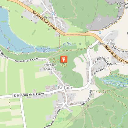
Walking tour - La Chapelle du Calvaire


IGN cards


Description
Family itinerary to walking up to the Chapel and admire the panorama that overlooks the Mole Lake and the mountains of Giffre.
Step-by-step directions are available by clicking on the printer icon.
Originally, Calvary Hill was grassy and had nothing on its summit, not even a few fir trees (planted in 1901). Its name changed over time : Petit Môle, La Forteresse, Le Pain de Sucre and Tour du Guidon.
Based on an idea by the parish priest of Bonnaz, a chapel dedicated to Our Lady of Seven Sorrows was built there in a neo-Gothic style and inaugurated on 15 September 1889, about a year after the completion of the Way of the Cross. On the fourteenth station of the Way of the Cross, a clearly visible date indicates that the work was completed in 1878. While three stations were built thanks to donations from parishioners, the other eleven were built by families from the region. Thus, every year on the third Sunday in September, a pilgrimage took place up to the chapel.
Its construction required materials to be transported by donkeys. Over the years, the chapel underwent several phases of repairs, the first of which took place in 1910-1911. For its 50th anniversary, the bell tower was renovated and the roof was covered with slate in 1971.
Technical Information
Altimetric profile
Starting point
Additional information
Environments
Lakeside or by stretch of water
Mountain view
Waterside
Lake view
In the country
Close to a public transportation
Bus stop < 500 m
Updated by
Môle et Brasses Tourisme - 07/10/2025
www.mole-brasses.com/fr
Report a problem
Open period
All year round daily.
Contact
Phone : 04 50 36 49 18
Email : info@mole-brasses.com
Website : https://www.mole-brasses.com/fr
Facebook : https://www.facebook.com/molebrassestourisme/
Google+ : https://g.co/kgs/srQr9F2
Type of land
Stone
Grit
Suitable for all terrain strollers
Animals
Yes
Data author
