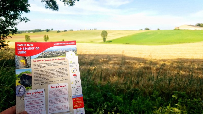
Le Sentier de Calle
Description
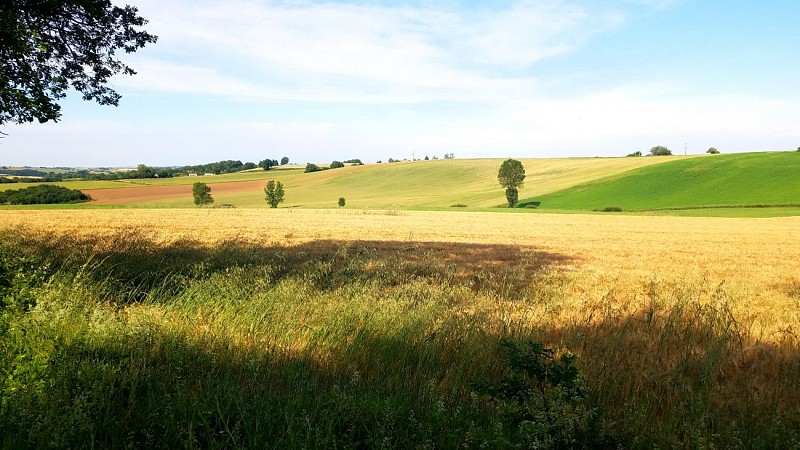
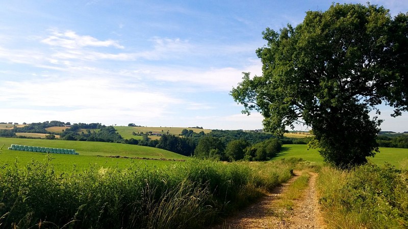
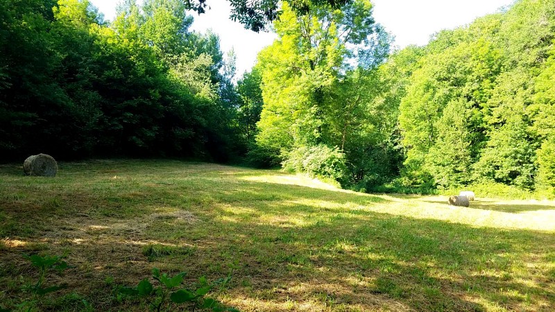
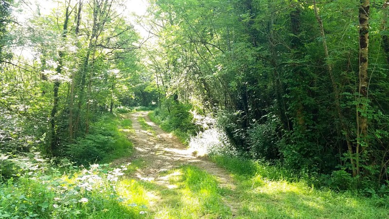
The landscapes of the Villefranchois are composed of wide valleys and beautiful plateaus. The climate is rather temperate, Mediterranean under the influence of the Autan wind, Atlantic under the dominant west winds.
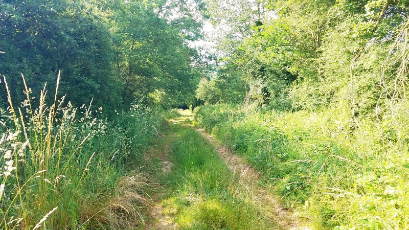
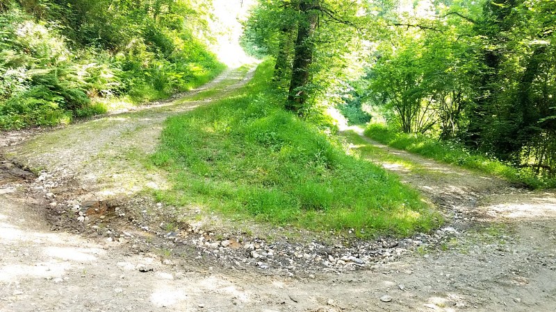
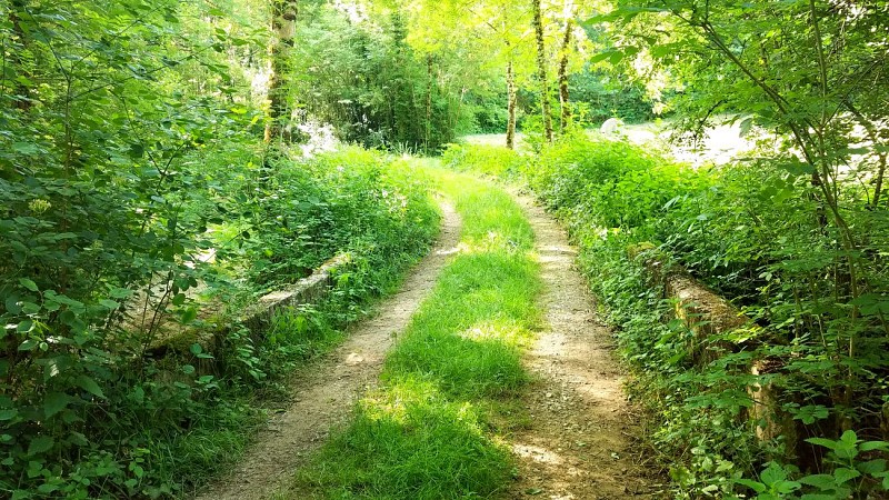
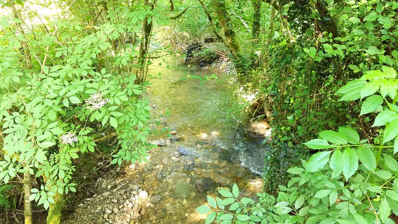
The path known as "Calle" will take you in turn along the banks of the Assou, to Calle, then onto the plateau, to "la Sigaudié" where a superb panoramic view of Villefranche and its surrounding countryside awaits you. You will go back down to the stream, to the Moulin de Bonnal. It already existed in 1789 and its huge millstones
Its huge millstones, powered by the force of water, allowed the farmers of the area to grind their various grains and to obtain flour.
In Occitan the word "cala" means a sheltered place. Perhaps this is the origin of the name of the place.
Technical informations
6 km
|
max. 450 m
min. 333 m
| |||
Altimetric profile
Starting point
Additional information
Contact
Phone : 05 63 55 39 14
Email : accueil.tourisme@valleedutarn.fr
Open period
All year round.
Updated by
Office de tourisme Vallée du Tarn & Monts de l'Albigeois - 22/10/2023
www.valleedutarn-tourisme.com/fr
Report a problem
