Lou cami de Theoullet
Description
The commune of Mouzieys-Teulet, united by an order of August 8, 1833, was born of the merger of MOSIEIS, whose parish Jean-Baptiste de Mosieis depended on the viscounty of Ambialet and Notre Dame de Theoullet (a place where tiles were made).
In Teulet, only the chapel (11th century) remains from the fortified village: Motte de Taillefer, around which it was built. The motte castrale corresponds to the need to build a place of power in a natural relief that is not very favourable to defensive sites such as plains and valley bottoms: it is used to control communication routes.
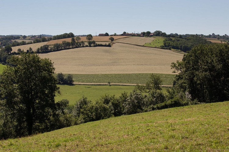
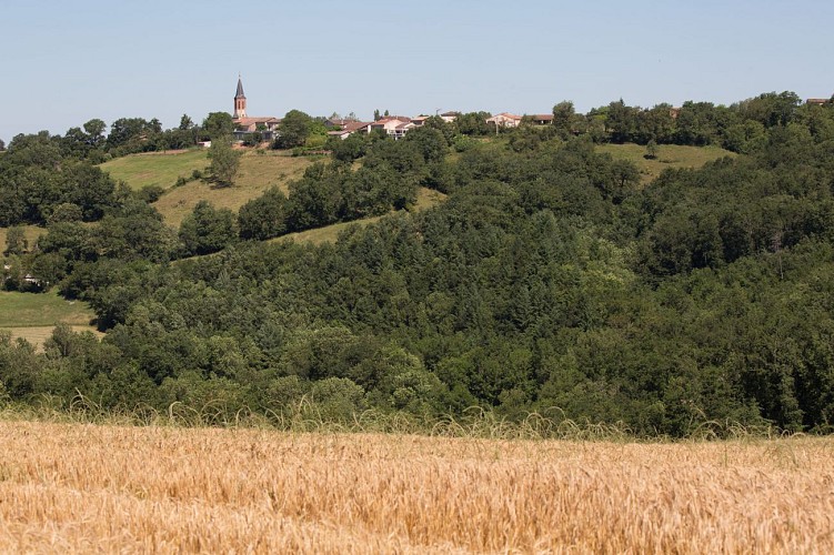
The path starts from the Taillefer chapel and winds its way between plains, hills and valleys, through woods, fields and pastures. It follows part of the Lézert, a small river which it crosses at the Cantarane bridge built in 1877. It passes through the hamlets of La Picounié, Puech del Cau, la Négrarié and Taillefer.
Technical informations
8 km
|
max. 353 m
min. 248 m
| |||
Altimetric profile
Starting point
Additional information
Contact
Phone : 05 63 55 39 14
Email : accueil.tourisme@valleedutarn.fr
Open period
All year round.
Updated by
Office de tourisme Vallée du Tarn & Monts de l'Albigeois - 22/10/2023
www.valleedutarn-tourisme.com/fr
Report a problem
