Alert
Alerts
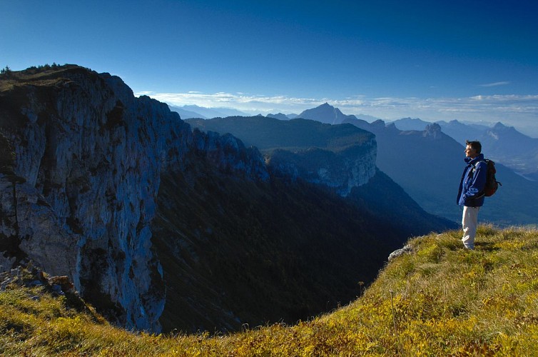
2-day hike on the Parmelan - Stage 2
Technical Information
Altimetric profile
Starting point
Additional information
Contact
Phone : 04 50 45 00 33
Email : info@lac-annecy.com
Website : https://www.lac-annecy.com
Facebook : https://www.facebook.com/lacannecy.tourisme
Open period
From 07/05 to 30/09.
Subject to favorable snow and weather conditions.
Environments
Mountain view
Panoramic view
Mountain location
Type of land
Rock
Ground
Not suitable for strollers
Topo guides and map references
Map references :
TOP 25 IGN 3430 OT - MONT SALEVE
Updated by
Conseil Départemental de la Haute-Savoie - 29/11/2025
www.hautesavoiexperience.fr
Report a problem
Tricky passages
Vigilance on the lapiaz plateau
Guidebook with maps/step-by-step
1/ From the Refuge du Parmelan, go to the Tête du Parmelan, then back to "Le Grand Montoir", then follow the signs for Bois Brûlé (Parking) via the Petit Montoir.
2/ Continue in the direction of "Bois Brûlé (Parking)", passing the "Glacière d'Aviernoz".
3/ Once back at the "Croisement du Grand Montoir", return to "Bois Brûlé (Parking)" via the same route as the outward journey.
Animals
Yes. Pets allowed on leash only.
Data author
