Alert
Alerts
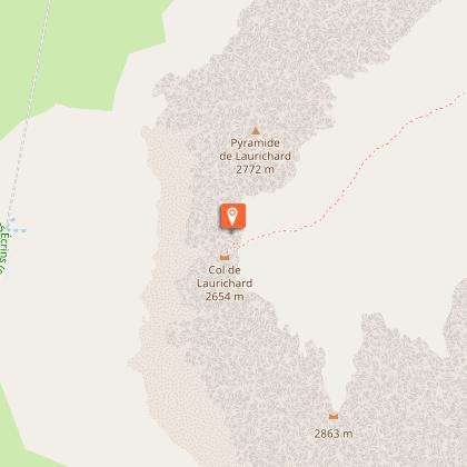
Col de Laurichard from Col du Lautaret


IGN cards


Description
Permafrost and rocky glacier: a hike in the land of cold stones, starting from one of the great passes of the Hautes Alpes: Le Lautaret
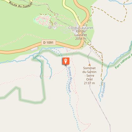
Starting point: the parking lot at the foot of Serre Orel. From here you start the climb towards the Combe de Laurichard.
250 m after the parking lot, the path splits in two: stay on the path leading up to Laurichard and leave the "crevasse interpretation path" on your right.
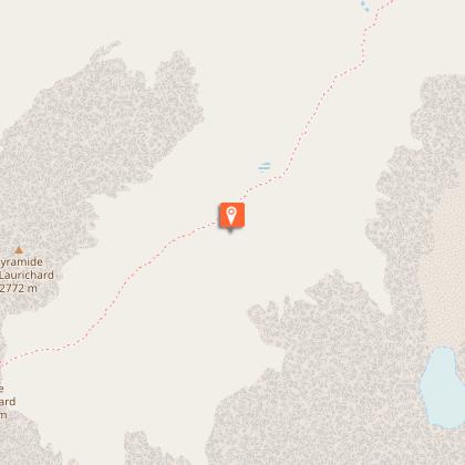
The slope gradually steepens until you reach the entrance to the Combe de Laurichard
de Laurichard (2300 m), a mineral world par excellence. The trail continues at the foot of the south-east face of the Laurichard pyramid, overlooking the imposing, dark and austere north faces of the Combeynot summits (Combeynot black rock and Combeynot west peak). It's at the foot of these two
rocky Laurichard glacier and its permafrost (permanently frozen ground).
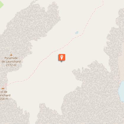
Continue up to the Col de Laurichard, where the panorama takes in the whole Meije massif and the surrounding peaks
(Pic Gaspard, Pointe Nérot, Bec de l'Homme, etc.).
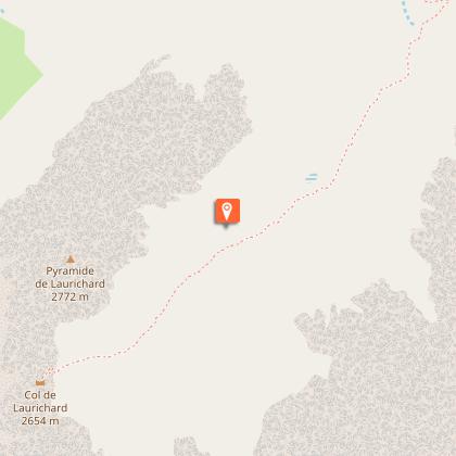
For the descent, follow the same route in the opposite direction.
Technical Information
Altimetric profile
Starting point
Steps
Additional information
Updated by
Office de tourisme des Hautes Vallées - La Grave - La Clarée - L'Izoard - 08/10/2025
www.hautesvallees.com/la-grave/
Report a problem
Open period
From 01/06 to 31/10 daily.
Subject to favorable weather.
Contact
Phone :
04 92 21 42 15
04 76 79 90 05
Email :
brianconnais@ecrins-parcnational.fr
lagrave@hautesvallees.com
Website : https://www.hautesvallees.com/la-grave/
Type of land
Stone
Ground
Not suitable for strollers
Animals
No. Ecrins National Park sector
Data author
