Alert
Alerts
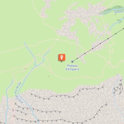
The Emparis plateau and its lakes - Lac Noir and Lac Lérié
Description
Lac Noir and Lac Lérié are real nuggets that a stay in La Grave is a must. Located at 2400m opposite the Girose glacier.
This itinerary offers hikers an exceptional setting, with breathtaking views over the Combe de Malaval. This itinerary allows you to discover the Emparis plateau off the beaten track, and is an excellent alternative to the GR54.
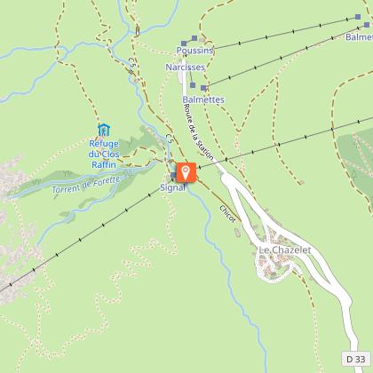
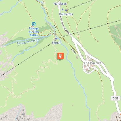
From the starting point at Le Chazelet (1770 m), head down towards the village along the parking lot. At the first junction, don't go up into the village, but take a right-hand hairpin turn towards the foot of the ski lifts.
Cross the Gâ at the chairlift departure point, then follow the wide hairpins up the eastern slope of the Plateau d'Emparis.
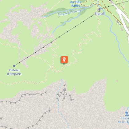
Pass the benches (2060 m) and, at this point, fork left towards the southern edge of the Plateau d'Emparis; pass near the ruins of "Maison Rouge" and those of "Pré Veyraud" and fork left (2132 m).
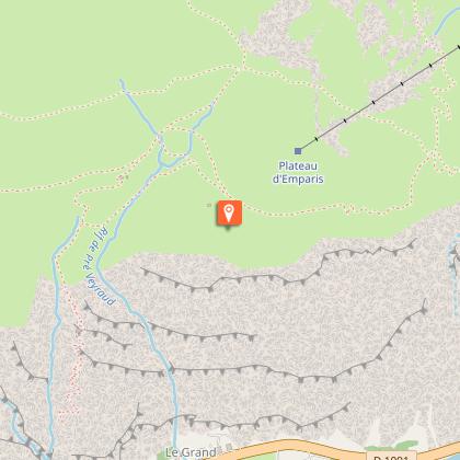
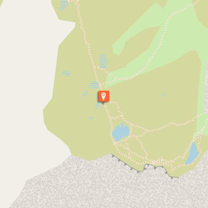
Follow the narrow path to the high-altitude shepherd's huts of Galan and Massarelles, crossing two streams, the last of which is called "Caturgeas".
Then head north along a narrow path towards the ruins of the same name, skirting the large rocky outcrop to join the path leading to Lac Lérié, which we follow to the left.
Go around the lake and follow the path, which then overlooks the Combe de Malaval 1,200 metres below, and takes 15 minutes to reach Lac Noir. Walk along it to the south, past a rain gauge and 200 m further on, opposite a small lake that sometimes dries up, fork right. The path takes 30 minutes to reach the Col du Souchet (2365m).
At the pass, don't turn right onto the wide path taken by the GR 54, but continue eastwards along a path on the mountainside that joins the "Berche".
Descend its north-east slope, passing ruins and reaching the good track from the combettes at "Plaque joue", which you take to the right until you reach the Querellé.
Don't turn right onto the path leading to Clot Rafin, but continue along the track down to the "pont de la mine".
Cross the torrent and head up towards Le Chazelet to reach the starting point of the itinerary.
Technical Information
Altimetric profile
Starting point
Steps
Date and time
- From 01/06/2026 to 31/10/2026
- From 01/06/2027 to 31/10/2027
Additional information
Updated by
Office de tourisme des Hautes Vallées - La Grave - La Clarée - L'Izoard - 26/02/2026
www.hautesvallees.com/la-grave/
Report a problem
Environments
Mountain location
Presence of livestock and guard dogs
Open period
From 01/06 to 31/10 daily.
Best time to access snow-free lakes, but it's best to check conditions before setting out.
Subject to snow conditions.
Contact
Phone : 04 76 79 90 05
Email :
cheminsdavant@gmail.com
lagrave@hautesvallees.com
Type of land
Ground
Not suitable for strollers
Reception complements
beware of snow conditions at the start of the season (June)
Animals
Yes. watch out for herds with guard dogs
Data author
