Alert
Alerts
Castles and Lake St-Félix
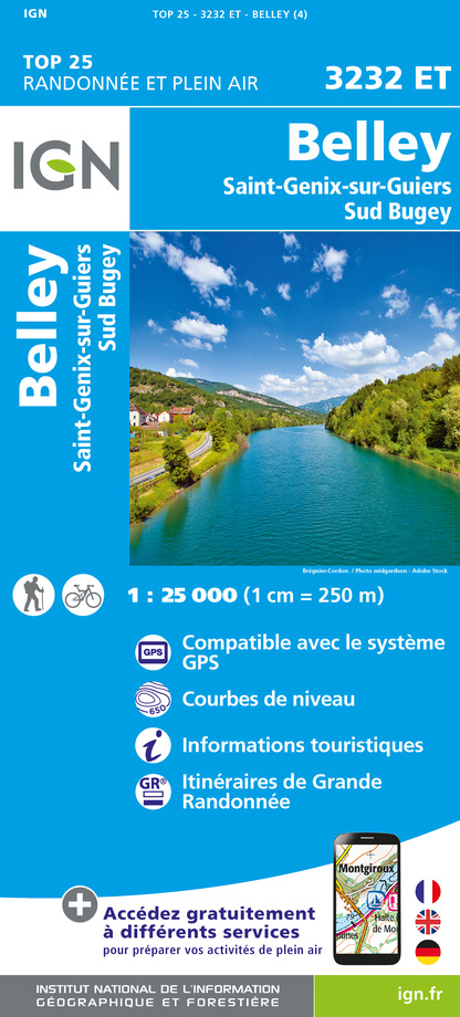
IGN cards


Description
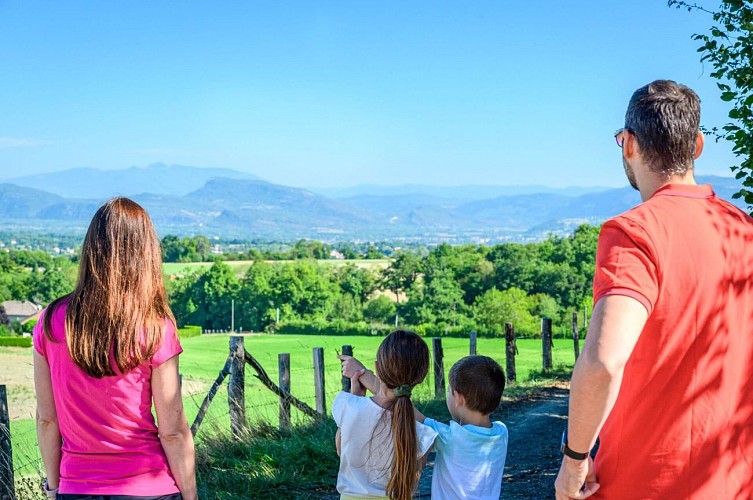
An open hike with two castles to contemplate, then a second more wooded section offering a beautiful panorama of the lake.
ROUTE
From the car park, cross the D1006 and take rue Ampère. As you climb up, look out on your right for the Haut-Verel stone castle with its round towers and Dauphin roof. From above, you can see the Bugey, Monts du Chat and Chartreuse mountains.
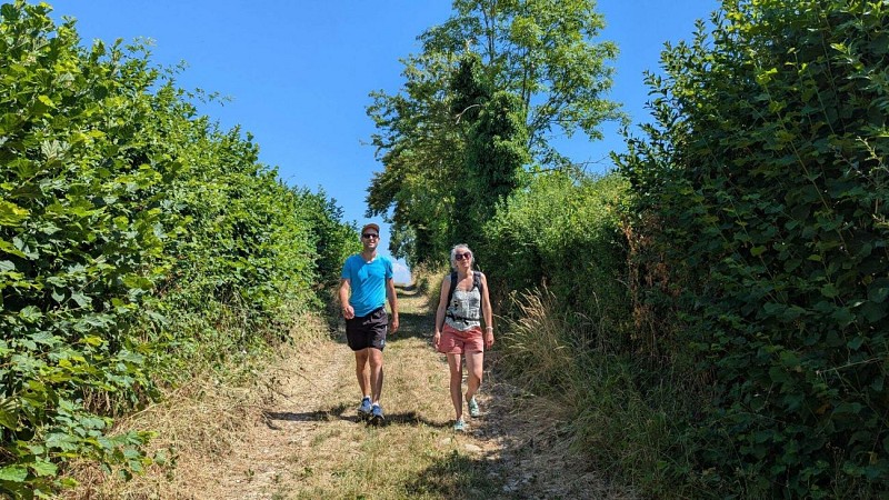
Then head back down towards the square-roofed castle of La Mûre and then St-Didier de la Tour. Cross again the D1006 and take the road then the path to the south of Lac St-Felix, classified as a Sensitive Natural Area. This natural glacial lake is a great place to spot the agile frog, as well as numerous birds and butterflies. The path is located in the forest and offers a beautiful view of the lake at its end. Follow the partly shaded path to Bois Chaboud and then the road back to the start.
WAYMARKING AND SIGNPOSTING
From the train station, head to the starting sign of the hike along the D1006 (300m).
From the car park along the D1006, follow the yellow signs and the following signposts:
Chemin Pascal > Les Croisettes > Le Corza > Château de la Mure > St-Didier-de-la-Tour > Le Bout du Lac > Bois Chaboud > back to ST-ANDRE-LE-GAZ
Technical Information
Altimetric profile
Starting point
Points of interest


Additional information
Updated by
Office de Tourisme des Vals du Dauphiné - 01/12/2025
www.tourisme-valsdudauphine.fr/
Report a problem
Environments
Station district
In the country
In a swamp
Pond within 5 km
Close to a public transportation
Less than 10 min walk from a train station
Open period
All year round daily.
Contact
Phone : 04 76 32 11 24
Email : tourisme@valsdudauphine.fr
Website : http://www.tourisme-valsdudauphine.fr/
Facebook : https://www.facebook.com/valsdudauphinetourisme/
Type of land
Ground
Hard coating (tar, cement, flooring)
Grit
Tricky passages
Be careful crossing the D1006
Data author
