Alert
Alerts
Sentier Les Hérissons
IGN cards


Description
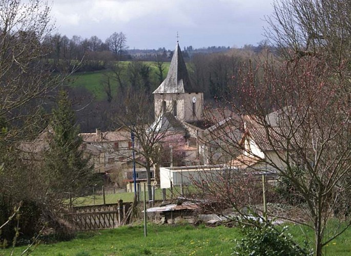
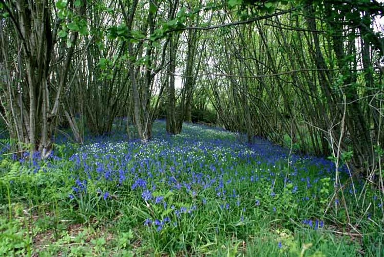
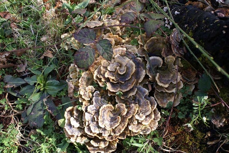
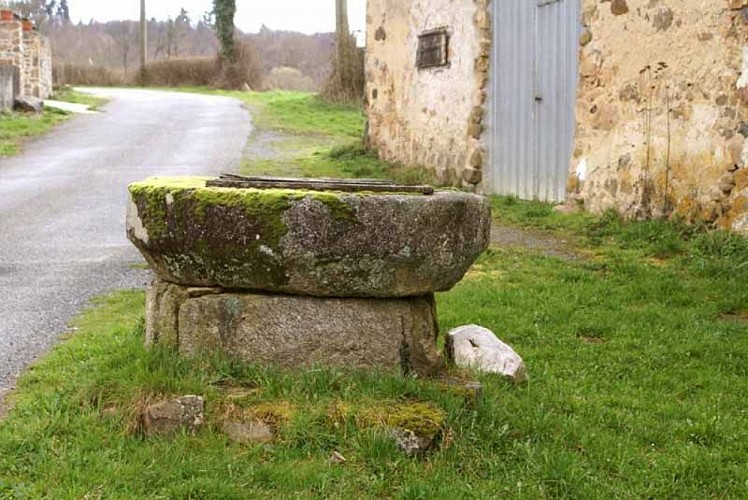
Champagnac la Rivière invites you to discover the local heritage during a hike of more than 4 hours. You will walk to the village of La Pouméroulie where the tramway used to run from Oradour-sur-Vayres to Limoges. At Jarosses, discover the well with a monolithic coping. In fact, this hike will lead you to meet a small unsuspected heritage (fountain, wash house...) attractive and typical of the Regional Natural Park Périgord-Limousin in which the town is located. Don't miss the opportunity, during your next walk, to take the green way of the Hauts de Tardoire from Champagnac towards Châlus. This 13 km long linear itinerary allows for gentle walking on a soft and wide surface in the heart of the Limousin countryside. You walk on a part of the GR4 and the GR 654 on the route of Saint-Jacques de Compostelle (Vézelay way).
Technical Information
Altimetric profile
Starting point
Additional information
Balisage
Yellow
Contact
Web site (URL) : www.visitlimousin.com
Typologie de l'itinéraire
Loop
Green Trail
Thèmes
Natural
Data author
