Alert
Alerts
Type of practice
Walking
Easy
1h45mn
Presentation
Description
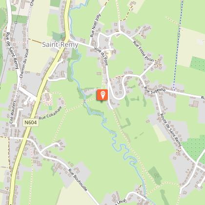
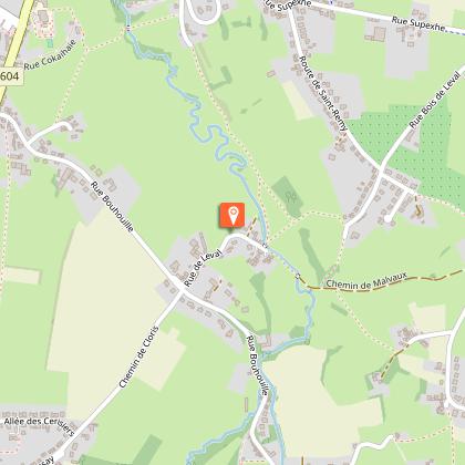
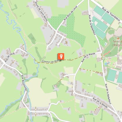
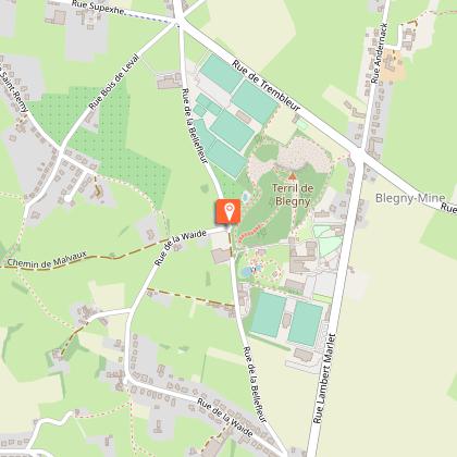
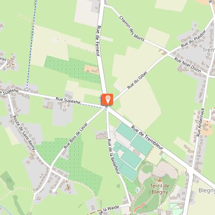
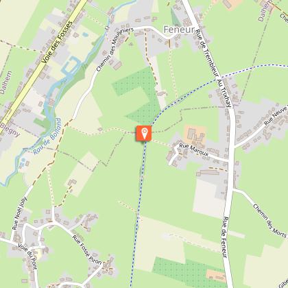
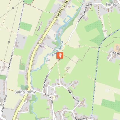
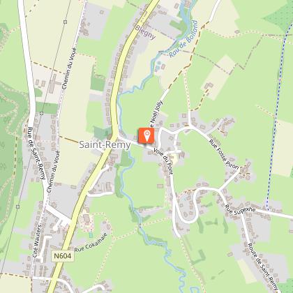
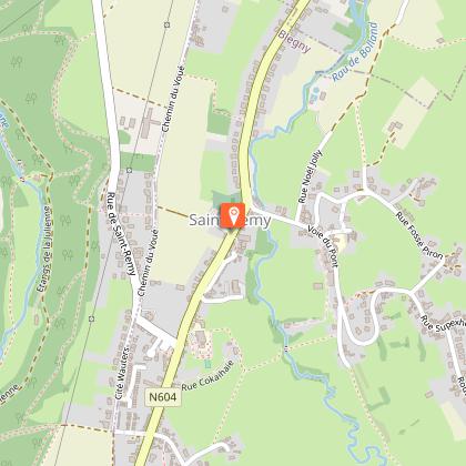
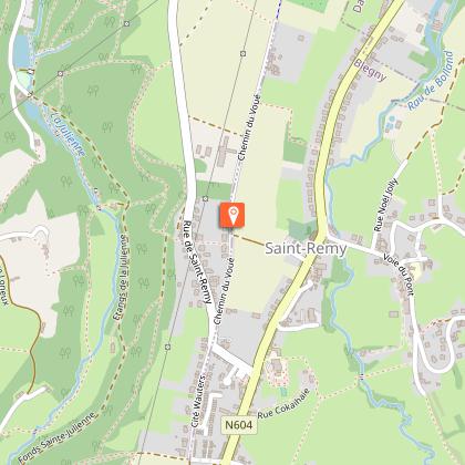
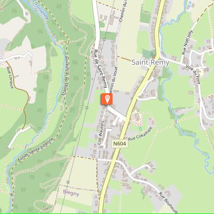
Map
Steps
Ratings and reviews
See around
Saint-Remy : Walk of Leval

IGN cards


Description
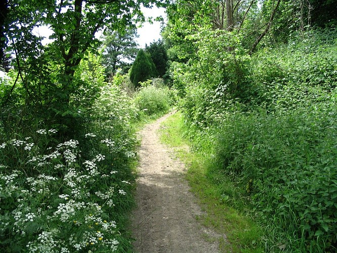
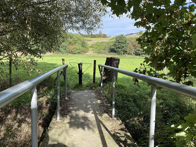
This charming walk will take you through meadows, roads, and old local paths to discover the quaint hamlet of Leval and the tourist site of Blegny Mine. Walk of the Green Network of Local Initiatives (Réveil), from the municipality of Blegny.
Follow the marking "Vertical white rectangle on orange background" (see photo above).
Find the route on the walking map of the municipality of Blegny: https://www.paysdeherve.be/produit/carte-de-promenades-de-la-commune-de-blegny
Technical Information
Walking
Difficulty
Easy
Duration
1h45mn
Dist.
6.7 km
Type of practice
Walking
Easy
1h45mn
Show more
Altimetric profile
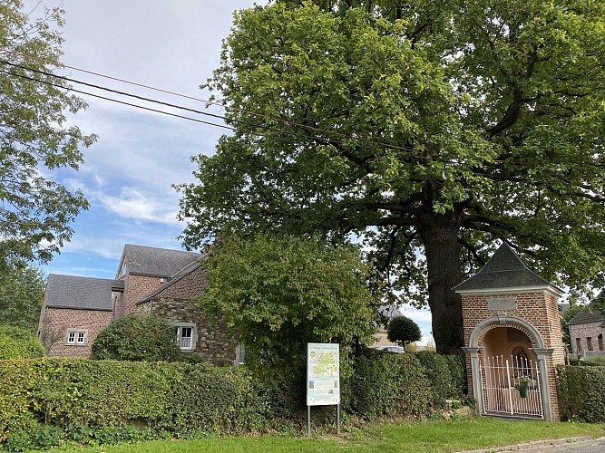
Starting point
Rue d'Argenteau
,
4672
Saint-Remy
Lat : 50.69289Lng : 5.69804
Steps
Additional information
Signalétique (EN)
No signage
Data author

proposed by
Maison du Tourisme du Pays de Herve
Ratings and reviews
To see around