Alert
Alerts
Randocroquis - Sentier du Bois Madame
Description
The trail stretches east of the village at the foot of the Bois Madame, crossing meadows, orchards and forests.
It presents a variety of landscape, heritage and environmental points of interest with, in favorable weather conditions, an exceptional panorama of the Rhone Valley and Mont Blanc.
The discovery through the drawing will allow an appropriation of these various elements by the visitor.
It features a variety of landscape, heritage and environmental points of interest, with, in favorable weather conditions, an exceptional panorama of the Rhône Valley and Mont Blanc.
Discovering the area through drawing will enable visitors to make the most of these various elements.
Technical Information
Altimetric profile
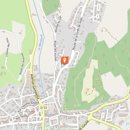
Starting point
Points of interest

Additional information
Environments
In the country
Village centre
Updated by
Ardèche Hermitage Tourisme - 02/06/2026
ardeche-hermitage.com
Report a problem
Contact
Phone :
04 75 08 10 23
04 75 06 06 12
Email :
mairie.bozas@inforoute-ardeche.fr
info@ah-tourisme.com
Website :
https://rando-ardeche-hermitage.fr/trek/56712-RandoCroquis
https://www.ardeche-hermitage.com/fr/catalogue/detail/randocroquis-sentier-du-bois-madame-153062/
Facebook : http://www.facebook.com/ArdecheHermitage
Animals
Yes
