Alert
Alerts
4-day hike: In the footsteps of local people
Description
What could be more impressive than walking along paths that took man so long to build? The landscape that unfolds before your eyes is also the trace of that same hand. Simple, courageous people. Keep your eyes peeled! You won't be disappointed...
To complete this 4-day itinerary with an ecological approach :
Transports liO - Occitanie: fare €2
Nîmes - Valleraugue: bus routes 140 then 108 to Lanuéjols
Valleraugue - Nîmes: bus routes 108 and 140
Hiking
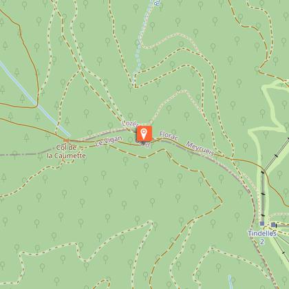
- Day 1 :
Lanuéjols - Dourbies: 18km/6h (yellow signs).
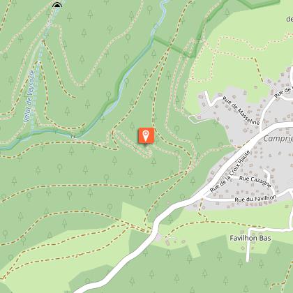
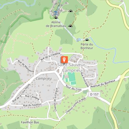
- Day 2:
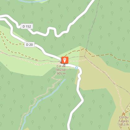
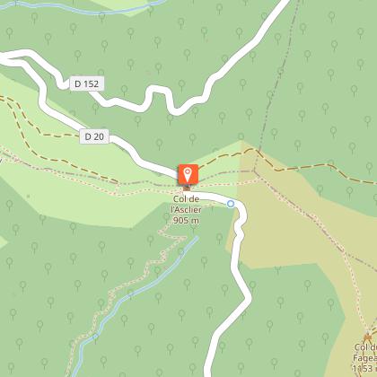
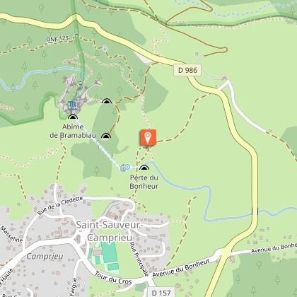
Dourbies - Camprieu: 12.9km/6h
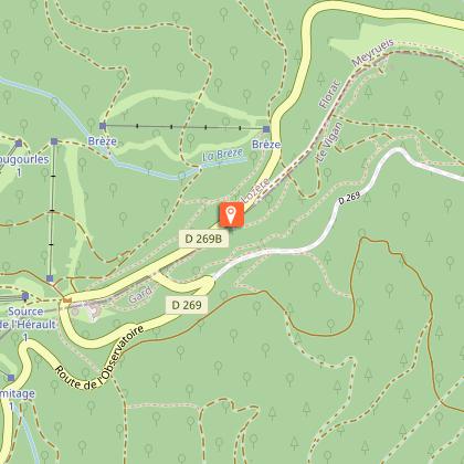
- Day 3:
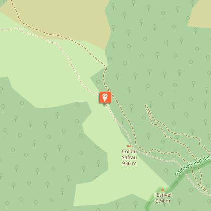
Camprieu - l'Aigoual: 11km/4h.
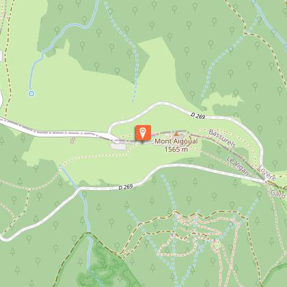
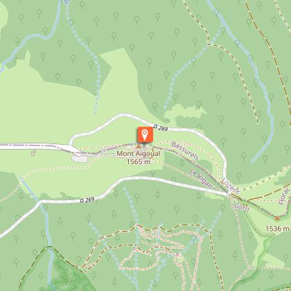
- Day 4:
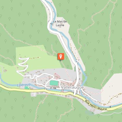
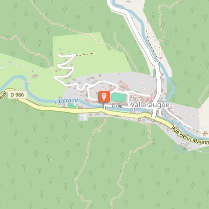
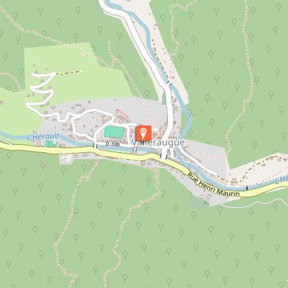
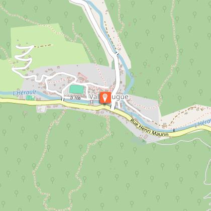
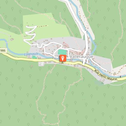
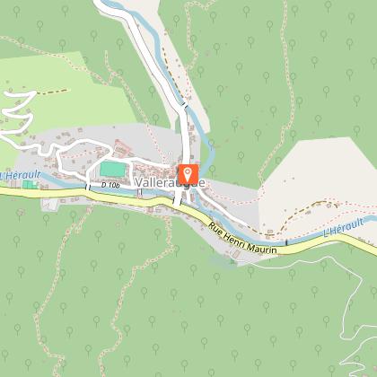
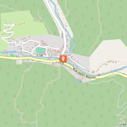
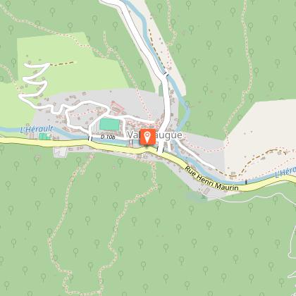
L'Aigoual - Valleraugue: 8,6km/2h30
you can extend your rando itinérances holiday
by following the "4-day hike: the Mediterranean side of the Aigoual" circuit. Don't go down to Valleraugue, but to Aire de Côte, Mas Corbière etc...
Please contact me.
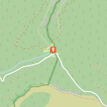
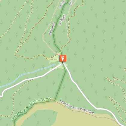
Information from the Mont Aigoual Causses Cévennes Tourist Office, St André de Valborgne Office.
Technical Information
Altimetric profile
Starting point
Steps


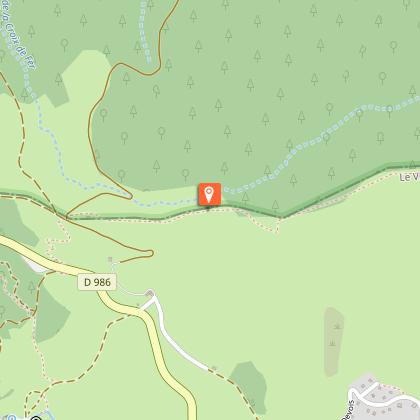
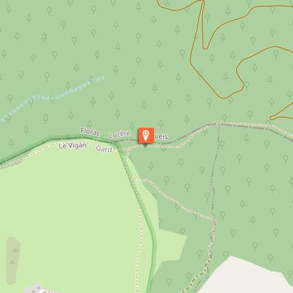
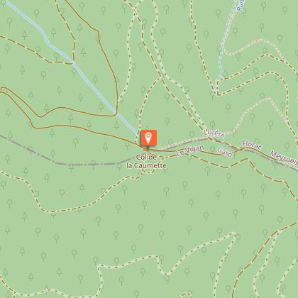

Points of interest


Additional information
Open period
All year round daily.
Updated by
Office de Tourisme Mont Aigoual Causses Cévennes - 24/02/2026
Report a problem
Environments
Forest location
Mountain location
Contact
Phone :
04 66 60 32 11
04 67 64 82 15
Email : standredevalborgne@sudcevennes.com
Website : https://destination.cevennes-parcnational.fr/trek/96967-Sur-les-pas-des-gens-d-ici-(4-jours)
Type of land
Rock
Stone
Ground
Not suitable for strollers
Location complements
Car-free tour. Departure from Nîmes by Bus with LiO
Topo guides and map references
Map references :
TOP 25 IGN 2641 ET (Mont Aigoual) and TOP 25 IGN 2641 OT (Millau)
Reception complements
Where to sleep :
Lanuéjols: Hôtel Bel Air 04 67 82 72 78 herve.maille30@orange.frwww.hotel-restaurant-belair.fr
Dourbies : Gîte d'étape communal and restaurant "LE P'TIT DOURBIEN" 06 16 08 92 60
Maison multi services 07 88 85 89 35 - 04 67 65 57 31 multiservices.dourbies@gmail.com
Camprieu: le Pont du Moulin 06 89 02 15 31 lepontdumoulin30@gmail.com
Sommet de l'Aigoual : www.stationaltiaigoual.com
Tricky passages
*Bring water for each day.
