Alert
Alerts
Tour of the Cunlhat en Livradois region
1 alert on this circuit
Visitor alert
- From 01/01/2023 to 31/12/2030
ATTENTION - The list of accommodations is currently being updated.
Description
This superb hike can be completed in 1 day for experienced hikers with a sporty bent, or in 2 days for a more leisurely appreciation of the landscapes and heritage.
Technical Information
Altimetric profile
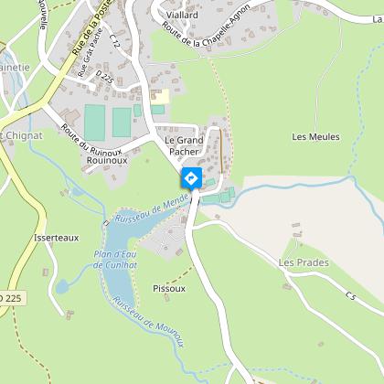
Starting point
Steps


Additional information
Tips
- Villages and hamlets.
- Softwood forests.
- Small built heritage (bread ovens, crosses and small local stone buildings).
Updated by
Conseil départemental du Puy-de-Dôme - 02/06/2026
www.puydedome-tourisme.com/
Report a problem
Environments
Presence of livestock and guard dogs
Distinctions
Listed PDIPR
Open period
From 01/01 to 31/12 daily.
Subject to favorable weather.
Type of land
Ground
Contact
Phone : 04 73 72 39 40
Email : msap.cunlhat@ambertlivradoisforez.fr
Reception complements
For your own safety, always take a bottle of water, a hat, warm clothing and footwear suitable for walking.
Depending on weather conditions, certain itineraries are not recommended in bad weather (fog) or are not practicable, or even forbidden, during the winter season.
Stay on marked paths.
Respect private property.
Bring a garbage bag to dispose of picnic, snack or other waste.
waste.
Do not disturb wildlife.
Do not pick flowers: many of them are protected (even those
common).
Guidebook with maps/step-by-step
1/ From the Cunlhat leisure center, head up towards Cunlhat. Stay on the main road until you reach the D 225. Turn left on this road for 100 m, then right on a downhill track. At the crow's-foot, turn left, then after 50 m, take the road on the right. Continue along the main road to the hamlet of Le Coin. In the hamlet, take the road to the left. It becomes a footpath as you leave the village. Continue until you reach a tarmac road. Cross the road and take the track opposite, which climbs up into the undergrowth.
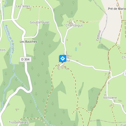
2/ At the T junction, take the left-hand track until you reach the tarmac road. Continue straight ahead on the track leading down into the woods. Cross the stone bridge and climb up to the village of Boscène. Follow the asphalt road to the right for 300 m to the next crossroads. Turn right onto the footpath and continue straight on to the village of Le Bost.
3/ At the entrance to the village, turn immediately left around the stone building, and continue on the path down through the woods to the hamlet of Tissonières. In the hamlet, continue straight ahead down the asphalt road. 50 m before you reach the D304, take a path rising to the left to reach the village of Ceilloux.
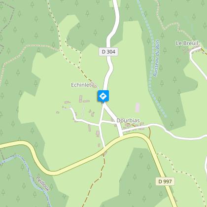
4/ Follow the church up the road to the left, then fork right to pass the entrance to the Ceilloux church. At the crossroads, head for the village of La Cissartie. In the village, take the road that climbs to the left towards the houses and continue straight ahead. The road becomes a footpath. At the next intersection, take the left-hand path and continue to the village of Echinlet.
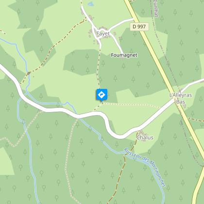
5/ At the asphalt road, turn right immediately along the low stone wall, then 100 m further on, at the crossroads with the cross, take the road on the left. At the bus shelter, cross the main road. At the next junction, take the road to the left for 50 m, then turn right onto a track which comes out at the bend in the D997. Continue along the main road for 100 m, then turn left onto the 1st footpath which rises slightly. Continue as far as the village of Pradelles. Take the tarmac road to the right until you reach the D997. Cross the road to take the path opposite. Follow the main road to the village of Fayet. At the "patte d'oie", take the road to the right and continue straight ahead at the next intersection. The road becomes a footpath.
6/ Turn left onto the 1st track to the D112a. Follow this to the left until you reach the D997. Cross the road and continue straight ahead. 100 m after the detached house, take a track on the right. Keep to the main road until you reach the village of Le Verdier. Follow the track opposite to the village of La Guillaumie. At the asphalt road, turn left and take the first track on the right. Continue straight ahead until you reach the D 225. Turn right, then left towards Courtesseire. Drive along the hamlet and take the path that follows the road.
7/ Climb up to the edge of a coniferous forest and take the grassy path on the left through a field to the village of La Vironne. Cross the village to the right. At the bread oven, turn right. Follow the road to the right. Under the village of Cammas, turn left until you reach a tarmac road. Continue straight ahead to the village of Rouchoux. Cross the village and follow the road to the left. At the "patte d'oie", turn right, then left to pass over the Chabrol dwellings. At the end of the hamlet, the road becomes a track. Follow it straight ahead as far as Mas-du-Bost. Continue straight on to Les Faidides. Cross the road and take the path opposite.
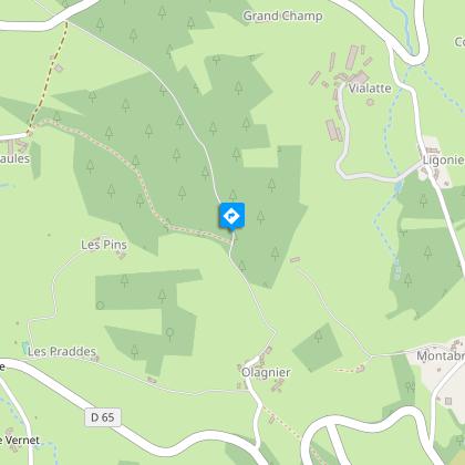
8/ At the village of Bruneilles, turn right, then continue up the main path. At the intersection of 4 paths, take the left-hand path. At the next crow's-foot, fork left and cross a small stream. 100 m further on, take the left-hand path down to the road. Cross the road twice to avoid the bends, then turn left. 200 m before an intersection, fork left onto a grassy path. At the crossroads, go straight ahead as far as the village of Olagnier. Cross the hamlet and climb a tarmac track which becomes a footpath. At the crossroads, turn left.
9/ After 400 m, turn left into a wood to reach Terrol. Pass the château and descend to the D 254. Take the first left opposite the golf course entrance. At the Croix Sainte-Anne, turn right onto the D65 for 50 m, then right onto the Chemin des Iris. Take the first street on the left, which descends slightly. At the small square, continue on the right-hand track, which turns left after 50 m, until you reach the D65. Cross the road and head straight for the allée des Aubépines. At the intersection of 4 paths, continue downhill to find the Cunlhat leisure center and the start of the hike.
Proposed and managed by the Conseil départemental du Puy-de-Dôme - PDIPR.
Animals
Yes. Dogs must be kept on a leash due to the presence of herds.
Data author
