Alert
Alerts
Saint-Pierre-le-Chastel
Description
In this land of mid-mountain livestock farming, a hike that takes in the hilltop of Saint-Pierre-le-Chastel and its perched church. An original vision, with the Chaîne des Puys as a backdrop.
Technical Information
Altimetric profile
Starting point
Steps
Additional information
Distinctions
Listed PDIPR
Tips
- Saint-Pierre-le-Chastel site and church (11th century).
- Small heritage features (cross, fountain, well).
- Views over the Sioule valley (Combrailles), the Sancy and the Chaîne des Puys - Limagne fault.
Updated by
Conseil départemental du Puy-de-Dôme - 02/06/2026
www.puydedome-tourisme.com/
Report a problem
Environments
In the country
Mountain view
Presence of livestock and guard dogs
Open period
From 01/01 to 31/12 daily.
Subject to favorable weather.
Contact
Phone : 04 73 65 89 77
Email : infostourisme@auvergnevolcansancy.com
Facebook : https://www.facebook.com/auvergnevolcansancy/
Location complements
From Clermont-Ferrand, take the D941 towards Pontgibaud. After the Col des Goules, at the Vulcania roundabout, take the D559 towards Mazayes, then the D52 to the Mazaye town hall.
Topo guides and map references
Topo guides references :
2014 - Randos à croquer - Discovering the Puy-de-Dôme - Conseil départemental du Puy-de-Dôme
Reception complements
For your own safety, always take a bottle of water, a hat, warm clothing and footwear suitable for walking.
Depending on weather conditions, certain itineraries are not recommended in bad weather (fog) or are not practicable, or even forbidden, during the winter season.
Some sites are fragile, so stay on the marked trails. Avoid picking wild flowers and disturbing wildlife. Pick up your garbage.
Animals are not allowed on some routes.
Guidebook with maps/step-by-step
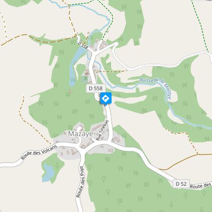
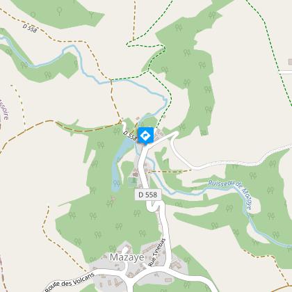
1/ From the start sign, walk down the road past the town hall to the cross in the middle of a fork.
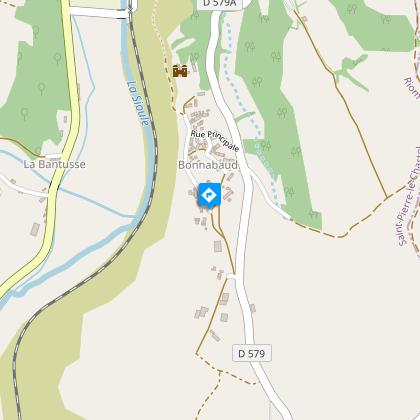
2/ Take a damp track to the right which leads to a wide path. Turn left and follow the road to the D579. Turn left and immediately take the right-hand path into the hamlet of Bonnabaud. Go up on the left, then down on the right between the cross and the shoeing loom to the road.
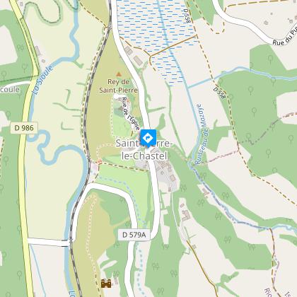
3/ Turn right under the water trough. On leaving the village, at the cross (viewpoint over the Sioule valley), take the grassy path on the left below the château wall. At the D 579a road, near the level crossing, turn right for 200 m and take the dead-end road opposite to the water treatment plant. Climb the stairs and then the path to reach the Saint-Pierre-le-Chastel plateau (viewpoint over the Sancy). Turn left to reach the cemetery and church. Walk around the multi-purpose hall and take the left-hand road down to the town hall.
4/ Take the road to the left, and as you leave the village, turn right, downhill, to join the Mazayes stream. Cross the stream and head uphill, keeping to the left until you reach a T-junction. Take the right-hand track and continue to the ruisseau de la Vergne. Turn right to cross it and climb to a cross. Go down the path to the left, then at a stone cross turn right into Mazayes-Basses to get back to the start.
Proposed and managed by the Conseil départemental du Puy-de-Dôme - PDIPR.
Animals
Yes. Dogs must be kept on a leash due to the presence of herds.
Data author
