Alert
Alerts
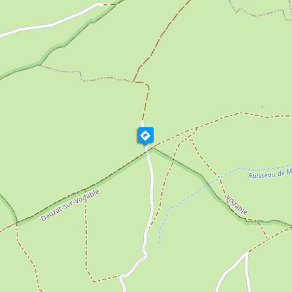
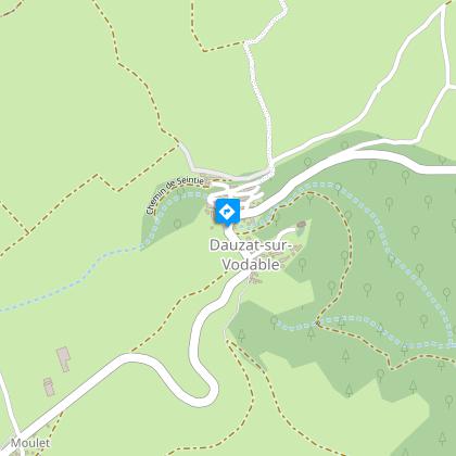
Dauzat-sur-Vodable
Description
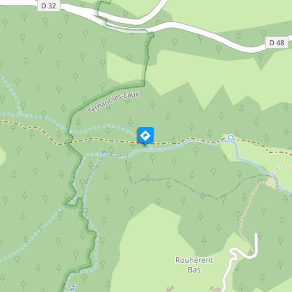
From Ternant-les-Eaux, the path leads to the chapel of Dauzat-sur-Vodable perched on a volcanic peak. The descent into the forest leads to several ferruginous springs.
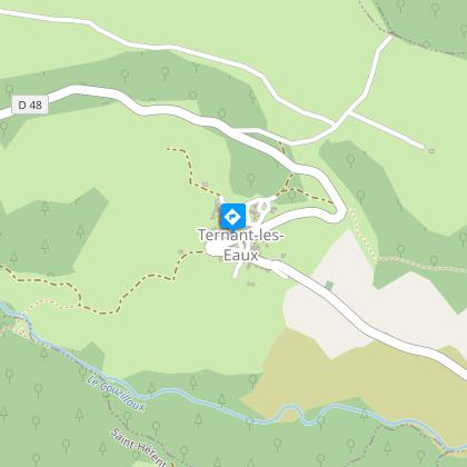
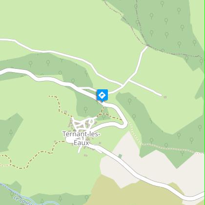
Starting point - From the starting sign (Romanesque church, bread oven, old well, old washhouse, water trough) go up the steep street behind the church chevet. At the last house turn right on the asphalt road until you reach a first road on the left. Take it to the road.
1 - Go up the road for 10 m, turn right and climb a stony path. At the top follow the asphalt road on the right and then the first asphalt road on the left until you reach the road. Take this one on the right then a wide track on the left up to a crossroads. Turn right to reach a crossroads (view of the hillock of Vodable and the Puy d'Ysson).
2 - Go down to the right, ignoring the right and left paths to the bottom of the valley. Continue straight ahead until you reach the crossing on the plateau (360° viewpoint: view of the Sancy massif, the Puys chain, the Allier plain, the Livradois-Forez mountains).
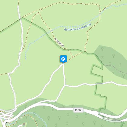
3 - Turn left. Continue until you reach the T-junction in front of a dry-stone hut. Turn right and then left 150 m further on. At the crossing, continue straight ahead towards Dauzat-sur-Vodable (view of the priory and the site of the old castle) until you reach the war memorial.
4 - Cross the road, go down to the left on the asphalt road then grassy. Continue in the undergrowth. Leave a path on the left. At the next crossroads, continue straight on the main road on the ridge until you reach a footbridge crossing Rivaux Creek.
5 - Take it, then cross a step ladder. Cross the meadow and take the path in the valley along the stream (ferruginous source). In a curve, leave a path to the right. Join the D148 which brings you back to the starting point.
Technical Information
Altimetric profile
Starting point
Steps
Additional information
Environments
In the country
Forest location
Mountain view
Presence of livestock and guard dogs
Updated by
Conseil départemental du Puy-de-Dôme - 27/03/2026
www.auvergne-destination.com
Report a problem
Open period
From 01/01 to 31/12 daily.
Subject to favorable weather.
Contact
Phone : 04 73 89 15 90
Email : tourisme@capissoire.fr
Website : http://www.issoire-tourisme.com
Type of land
Ground
Animals
Yes
Data author
