Alert
Alerts
From Machal to Cortal
Description
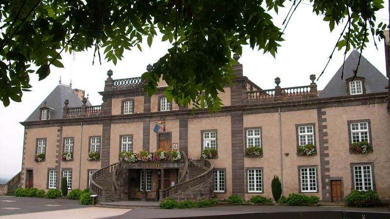
The path guides the hiker along the wide, lively Allier. The river flows through the town of Pont-du-Château, which boasts a rich heritage including two churches, a castle and a museum of inland waterway transport...
Technical Information
Altimetric profile
Starting point
Steps
Additional information
Distinctions
Listed PDIPR
Tips
- The River Allier.
- The town of Pont-du-Château and its rich heritage (churches, château, museum, etc.).
- View of Dallet, Clermont-Ferrand and the Limagne plain.
Updated by
Conseil départemental du Puy-de-Dôme - 28/09/2026
www.puydedome-tourisme.com/
Report a problem
Environments
Riverside
Waterside
Presence of livestock and guard dogs
Open period
From 01/01 to 31/12 daily.
Subject to favorable weather.
Contact
Phone : 04 73 98 65 00
Email : info@clermontauvergnevolcans.com
Website : https://www.clermontauvergnevolcans.com
Facebook : https://www.facebook.com/clermontauvergnevolcans/
Location complements
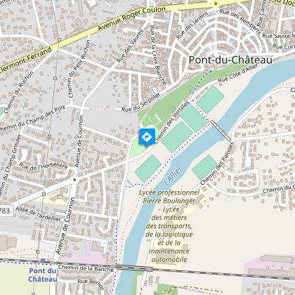
Pont-du-Château - avenue des frères Lumière in the direction of the stadiums and water sports center. Parking opposite the stadium.
Topo guides and map references
Topo guides references :
2015 - Randos au fil de l'eau - Discovering the Puy-de-Dôme - Conseil départemental du Puy-de-Dôme
Reception complements
For your own safety, always take a bottle of water, a hat, warm clothing and footwear suitable for walking.
Depending on weather conditions, certain itineraries are not recommended in bad weather (fog) or are not practicable, or even forbidden, during the winter season.
Some sites are fragile, so stay on the marked trails. Avoid picking wild flowers and disturbing wildlife. Pick up your garbage.
Animals are not allowed on some routes.
Guidebook with maps/step-by-step
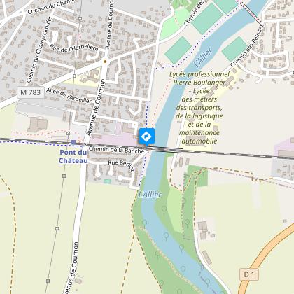
1/ From the start sign, go up the road, turn left onto the Chemin de Décauville (information sign at "fil de l'Allier"), go straight on until you reach the railroad bridge.
2/ Pass under the bridge, go straight on along the Allier. Just before the fork, turn left down the path. At the edge of the Allier, follow the path to the right (signposted "Les falaises de Machal"). At the "patte d'oie", turn left and follow the Allier. Leave the first path on the right, and at the water hydrant on your left in the grass, turn right and climb the path which leads to a track. Follow it to the left, (information panel "Histoire des moulins"), leaving the Chemin des Vacants to the left, as far as the D783 road.
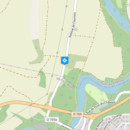
3/ Turn right, and after about 50 m, take the left-hand path up to the fork in the road. At the top of the bend (view of Dallet), continue through the fields, turning right onto the 1st stony track. After 300 m, turn left onto the grassy path and, after the tree, go right (view of Clermont-Ferrand and the Limagne plain). At the bend, turn right towards a vineyard hut. At the T junction, go left down the main road and, before the railroad footbridge, go right. At the crossroads after the station, go straight ahead on chemin de la Banche, find the railroad bridge on the left, pass under it and rejoin the starting point.
Proposed and managed by the Conseil départemental du Puy-de-Dôme - PDIPR.
Animals
Yes. All dogs must be kept on leashes because of the presence of herds.
Data author
