Alert
Alerts
The Signal of the Luguet
Description
The high plateaus of the Cézallier massif seduce lovers of the great wild spaces with pastures, valleys, streams and peatlands. The path opens the horizon to the volcanoes of the Puys chain, the Sancy and Cantal massifs.
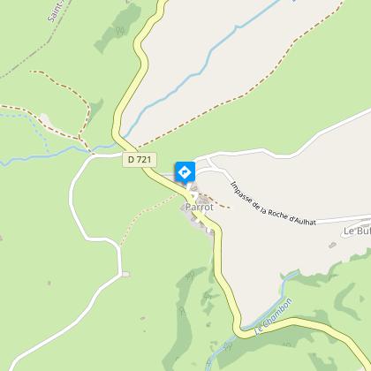
Starting point – Below the starting sign, take the road to Le Buffier. At the farm, go down and follow the path on the left. At the crow's feet, stay on the left until you reach an intersection. Turn right (PV1- view of the Forez, Devès and Margeride mountains). The path goes around the Rocher d'Aulhat, then down to the Artoux glacial cirque (PV2). After crossing a stream, the trail reaches the bottom of the circus. At the intersection, turn right and, 30 m later, go down on the left. After the stream, go up to the road (off course, right on the road, AR 200 m, information sign).
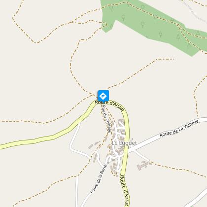
1 - Cross it and go up on the right leaving the GR and the direction of Luguet. At the first constructions encountered, turn right into a path. Go past all the houses, go straight up. At a fork, turn right. Before a small solid shelter near the woods, turn right for about 500 metres.
2 - Leave the path to climb a step ladder on the right. Through the pastures, follow on your right the fence overlooking the circus (PV3). Cross a new step ladder and immediately turn left following the fence. After a third step ladder, go straight ahead until you reach the edge of the woods. Follow it on the left, for about 750 m (PV4: panorama on the Cantal mountains, Sancy and the Dome range). At an intersection, turn left following a fence to reach a wide road.
3 - Take it to the right, pass between the woods of Cézalier and the Croix des Champs and the Signal du Luguet. Go down and take the road on the left for 100 m. Turn right into a summer trail, follow the fence until you reach the finish line.
Technical Information
Altimetric profile
Starting point
Steps
Additional information
Distinctions
Listed PDIPR
Tips
-View of the Forez, Devès and Margeride mountains.
- Village of Le Luguet (panorama).
- View of the Cantal mountains, the Sancy massif and the Chaîne des Puys.
Updated by
Conseil départemental du Puy-de-Dôme - 03/06/2026
www.puydedome-tourisme.com/
Report a problem
Environments
Mountain view
Mountain location
Presence of livestock and guard dogs
Open period
From 01/01 to 31/12 daily.
Subject to favorable weather.
Contact
Phone : 04 73 89 15 90
Email : tourisme@capissoire.fr
Website : http://www.issoire-tourisme.com
Topo guides and map references
Topo guides references :
2016 - Randos vues d'en haut - Discovering the Puy-de-Dôme - Conseil départemental du Puy-de-Dôme
Type of land
Ground
Location complements
South-west of Clermont-Ferrand. Exit 15 from the A75 freeway, direction Ardes-sur-Couze, then Anzat-le-Luguet, follow the D23 and D721 to Parrot.
Reception complements
For your own safety, always take a bottle of water, a hat, warm clothing and footwear suitable for walking.
Depending on weather conditions, certain itineraries are not recommended in bad weather (fog) or are not practicable, or even forbidden, during the winter season.
Some sites are fragile, so stay on the marked trails. Avoid picking wild flowers and disturbing wildlife. Pick up your garbage.
Animals are not allowed on some routes.
Guidebook with maps/step-by-step
1/ Below the start sign, take the road to Le Buffier. At the farm, go down and follow the path to the left. At the crow's-foot, keep left until you reach an intersection. Turn right (PV2/view of the Forez, Devès and Margeride mountains). The path skirts the Rocher d'Aulhat, then descends to the cirque glaciaire d'Artoux (PV2). After crossing a stream, the path joins the bottom of the cirque. At the intersection, turn right and, 30 m further on, go left. After the stream, climb up to the road (off-course, right on the road, AR 200 m, information sign).
2/ Cross the road and turn right, leaving the GR signposted to Le Luguet. At the first buildings, fork right along a path. Go straight on past all the houses. At a fork, turn right. Before a small hard shelter near the woods, turn right for about 500 m.
3/ Leave the path and cross a stepladder on the right. Through the pastures, follow the fence overlooking the cirque to the right (PV3). Cross another stepladder and immediately fork left, following the fence. After a third stepladder, go straight ahead to the edge of the wood. Follow it to the left for about 750 m (PV4: panoramic view of the Monts du Cantal, the Sancy and the Dôme chain). At a fork in the road, turn left along a fence to join a wide track.
4/ Turn right, passing between the Cézalier and Croix des Champs woods and the Signal du Luguet. Go downhill and turn left for 100 m. Turn right onto a mountain pasture path, and follow the fence to the finish.
Proposed and managed by the Conseil départemental du Puy-de-Dôme - PDIPR.
Animals
Yes. Dogs must be kept on a leash due to the presence of herds.
Data author
