Alert
Alerts
The lime and the wood of Jaby
Description
A remarkable hike for the built heritage of Mareugheol with one of the most beautiful villages in Auvergne and for the variety of landscapes and environments such as lime, streams and couzes. Nice views.
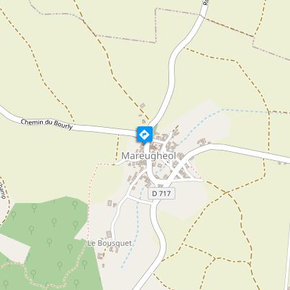
Starting point - Go down rue du Fort. Walk along the surrounding wall, cross the square between fountain and washhouse (fort, fountain and washhouse). Go left between two stone walls, go up to the second crossroads; go left to a stone cross.
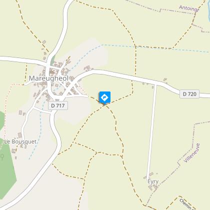
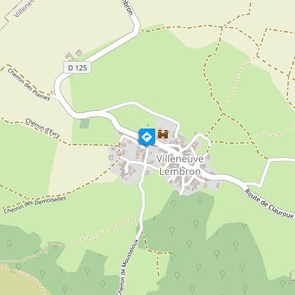
1 - Continue straight ahead (view on the plateau de la chaux du Broc) ignoring the adjacent paths. At the entrance to the village of Villeneuve, at the cross, turn left to the church (Villeneuve-Lembron castle and square tower).
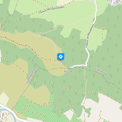
2 - Turn right. Continue along the Mousteloux path until you reach a fork. Go to the right (another PR opposite), go up in the woods the path between low walls to the plateau (Villeneuve lime). Turn left on the path. After the fence, stay on the main road until you reach an intersection with a wide road at the wireless relay.
3 - Turn right (viewpoint). Progress between grazing and hardwood coppice. Pass in front of the water tank before going down to a road. Cross it and go down chemin du Moulin to an intersection before a building (old mill).
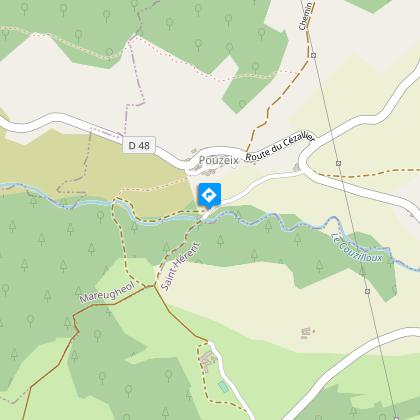
4 - Turn right above it, follow the stream for 500 m, go up to the right the small path leading to the village of Pouzeix. Cross it (bread oven, vat room for laundry, shoeing machine). Cross the road, pass under the power line, continue for about 700 m until you reach the intersection with a small undergrowth path.
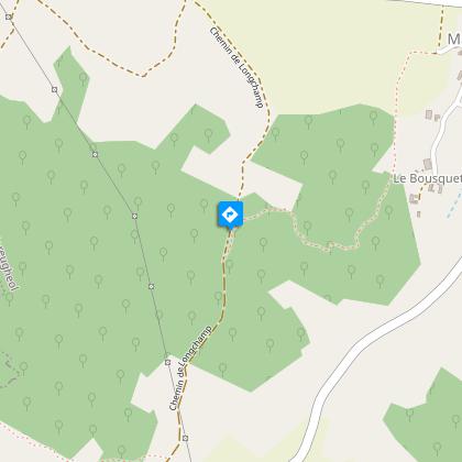
5 - Go down to the right the chaotic path between low stone walls. In the descent, on the left: shepherd's hut. At the fork, go left. When you see the village below, go straight ahead and get off at Mareugheol to return to the start.
Technical Information
Altimetric profile
Starting point
Steps
Additional information
Environments
Presence of livestock and guard dogs
Updated by
Conseil départemental du Puy-de-Dôme - 27/03/2026
www.auvergne-destination.com
Report a problem
Open period
From 01/01 to 31/12 daily.
Subject to favorable weather.
Contact
Phone : 04 73 89 15 90
Email : tourisme@capissoire.fr
Website : http://www.issoire-tourisme.com
Animals
Yes
Data author
