Alert
Alerts
The puy Saint-Gulmier mound
Description
From the start of the route, on a basalt plateau, you have a privileged view of the Sancy and the Chaîne des Puys. The route skirts the volcano and passes through hedged farmland and the Agrippa Way. The scenery is peaceful, divided between meadows, woods and ponds.
Technical Information
Altimetric profile
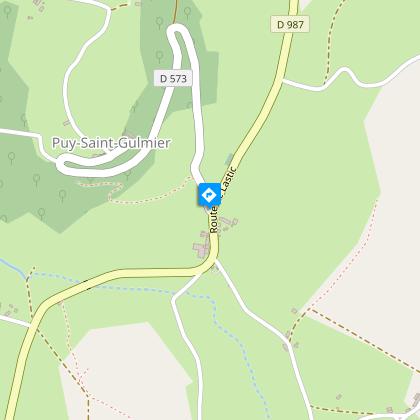
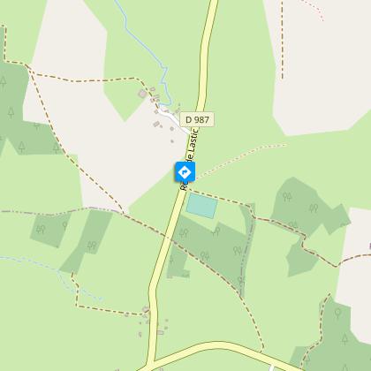
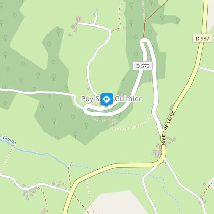
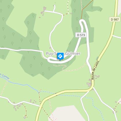
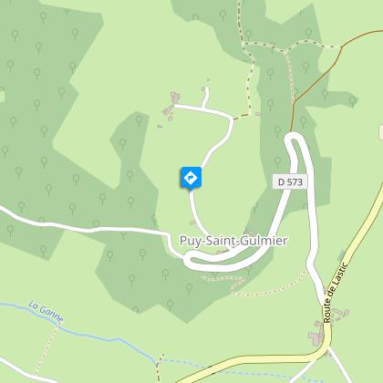
Starting point
Additional information
Distinctions
Listed PDIPR
Tips
- Orientation table, view of the Sancy massif.
- View of the Chaîne des Puys.
- View of Saint-Gulmier and its hillock.
Updated by
Conseil départemental du Puy-de-Dôme - 03/06/2026
www.puydedome-tourisme.com/
Report a problem
Environments
In the country
Presence of livestock and guard dogs
Open period
All year round daily.
Subject to favorable weather.
Contact
Phone : 04 73 85 80 94
Email : contact@tourisme-combrailles.fr
Website : https://www.combrailles-auvergne-tourisme.fr/
Facebook : https://www.facebook.com/OfficeTourismeCombrailles/
Location complements
On the D941, 1 km south of Pontaumur, take the D987 towards Combrailles, as far as Puy-Saint-Gulmier. Turn right onto the D573 to climb the hill. Park on the esplanade opposite the church.
Topo guides and map references
Topo guides references :
2016 - Randos vues d'en haut - Discovering the Puy-de-Dôme - Conseil départemental du Puy-de-Dôme
Reception complements
For your own safety, always take a bottle of water, a hat, warm clothing and footwear suitable for walking.
Depending on weather conditions, certain itineraries are not recommended in bad weather (fog) or are not practicable, or even forbidden, during the winter season.
Some sites are fragile, so stay on the marked trails. Avoid picking wild flowers and disturbing wildlife. Pick up your garbage.
Animals are not allowed on some routes.
Guidebook with maps/step-by-step
1/ From the start sign on the esplanade (orientation table, view of the Sancy massif), go around the church on the small road leading uphill (view of the Chaîne des Puys). Take the first path on the right and, ignoring three paths on the left, descend to the road (hairpin bend). Turn left down to the crossroads at the hamlet of La Croix.
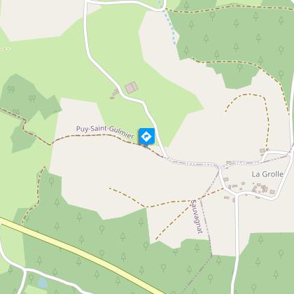
2/ Follow the D987 to the right for 100 m, then turn left towards Courtille. At the hamlet of Les Sagnes, take the left-hand path, then the first right. In Courtille, at the T-junction, take the small road on the right. At the last house, turn left and continue along this small road; ignore the road on the left towards Neuviale. After 750 m, leave the road and continue straight ahead on the track that runs around the hamlet of La Grolle. Rejoin the road at the T-junction. Turn right, leaving the first road on your left, and 100 m further on, turn left. At the next fork in the road, turn left onto the path leading down into a valley (view of Saint-Gulmier and its hillock). Continue to the intersection after the stadium.
3/ Take the road on the left, then 200 m further on, turn right onto the track, then right again. Follow the edge of a wood. At the T-junction, turn right onto a road. Follow it to the right for 100 m, then turn left. At the next crossroads, turn right up the road to reach the D573 and then the starting point.
Proposed and managed by the Conseil départemental du Puy-de-Dôme - PDIPR.
Animals
Yes. Dogs must be kept on a leash due to the presence of herds.
Data author
