Alert
Alerts
Vernet pond
Description
This walk reveals the charms of unspoilt countryside on the edge of the Creuse department in the ‘Land of Ponds’: no fewer than four ponds are served by the trail.
Technical Information
Altimetric profile
Starting point
Additional information
Tips
- Church and cross.
- Vernet pond.
- Alternating forests, pastures and ponds illustrate a landscape maintained by human activity. It's also a pleasant landscape to stroll through under the foliage of the trees so characteristic of the Haute Combraille. The church of La Celle (XIII) features a combed bell tower.
Updated by
Conseil départemental du Puy-de-Dôme - 03/06/2026
www.puydedome-tourisme.com/
Report a problem
Environments
Presence of livestock and guard dogs
Distinctions
Listed PDIPR
Open period
All year round daily.
Subject to favorable weather.
Location complements
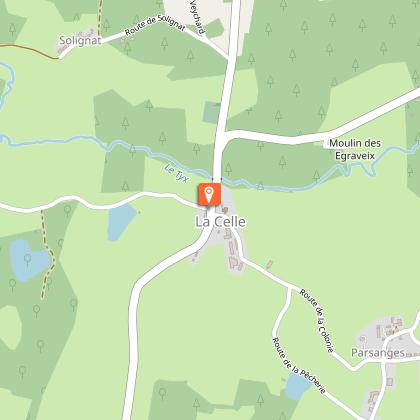
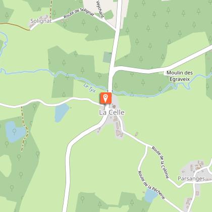
From Pontaumur, follow the D941 towards Aubusson. At Saint-Avit, turn left on the D13 towards Giat, then right on the D582 to La Celle. Parking on place de l'église.
Contact
Phone : 04 73 85 80 94
Email : contact@tourisme-combrailles.fr
Website : https://www.combrailles-auvergne-tourisme.fr/
Facebook : https://www.facebook.com/OfficeTourismeCombrailles/
Reception complements
For your own safety, always take a bottle of water, a hat, warm clothing and footwear suitable for walking.
Depending on weather conditions, certain itineraries are not recommended in bad weather (fog) or are not practicable, or even forbidden, during the winter season.
Some sites are fragile, so stay on the marked trails. Avoid picking wild flowers and disturbing wildlife. Pick up your garbage.
Animals are not allowed on some routes.
Guidebook with maps/step-by-step
1/ Opposite the start sign, take the Chalus road. Leave a track
to the left. Continue along the road and halfway up the hill, turn right on a grassy track to an intersection at the top of the hill.
2/ Turn left onto the track and reach a road. Follow it to the right. At the entrance to Chalus, just before the first house, turn right onto a track, then right again onto the road. At the crossroads, turn left onto the road. At the "Cédez le passage" sign, cross a road and go straight down a track opposite. Pass over a pond dike and continue straight ahead until you reach a road. Follow it to the right until you reach a house on the left.
3/ Take the left-hand track. Go alongside a pond. At the intersection, go left. At the next junction, take the right-hand track. On the flat, leave a track on the left. At the T junction, go right. At the house, keep right, then immediately turn left onto the track. Drive alongside the Vernet pond, then over the dike. Climb the carriage road for 40m, then at the crossroads continue uphill. At the top of the hill (point 1), go down the track opposite, then follow the road to the left to get back to the starting point.
Proposed and managed by the Conseil départemental du Puy-de-Dôme - PDIPR.
Animals
Yes. Dogs must be kept on a leash due to the presence of herds.
Data author
