Alert
Alerts
Le Plan d'eau
Description
A route on the borders of the Puy-de-Dôme and the Allier, through the rolling hedged farmland typical of the Combrailles region. The 12-hectare La Loge lake at Lapeyrouse offers pleasant picnic areas, landscaped playgrounds and fishing.
Technical Information
Altimetric profile
Starting point
Additional information
Tips
Lake.
Updated by
Conseil départemental du Puy-de-Dôme - 03/06/2026
www.puydedome-tourisme.com/
Report a problem
Environments
In the country
Presence of livestock and guard dogs
Distinctions
Listed PDIPR
Open period
All year round daily.
Subject to favorable weather.
Location complements
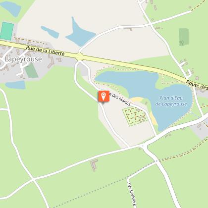
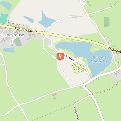
Reach Lapeyrouse, 74 km north-west of Clermont-Ferrand, and continue on to La Loge. Turn right onto the D100 to reach the "Les Marins" leisure center at the end of the lake.
Contact
Phone : 04 73 85 80 94
Email : contact@tourisme-combrailles.fr
Website : https://www.combrailles-auvergne-tourisme.fr/
Facebook : https://www.facebook.com/OfficeTourismeCombrailles/
Reception complements
For your own safety, always take a bottle of water, a hat, warm clothing and footwear suitable for walking.
Depending on weather conditions, certain itineraries are not recommended in bad weather (fog) or are not practicable, or even forbidden, during the winter season.
Some sites are fragile, so stay on the marked trails. Avoid picking wild flowers and disturbing wildlife. Pick up your garbage.
Animals are not allowed on some routes.
Guidebook with maps/step-by-step
From the start sign in the parking lot, head towards the lake and follow the main path to the right. Continue along the dike for 350 m. Before the barrier, go down the embankment and take the footbridge over the ditch to the right. Turn right up to the stop sign. Turn right again, cross the bridge and take the path on the left. At the crossroads, turn left and drive alongside the Augères pond. At the road, go right to the first path.
1/ Turn right into undergrowth and continue for 1 km. Cross the road (caution: intersection with the PR41 of the Allier département) and continue straight ahead, leaving a track on your right. At the T-junction, turn left to join the D519. Go left for 600 m to the intersection with the road leading to Les Aiguillons.
2/ Take this road, cross the hamlet and go straight ahead on a wide track. At the fork in the road, turn right, continue right on the tarmac and turn left onto the road. After the railroad tracks, go straight up to the crossroads.
3/ Turn left. At the Le Plaix exit, turn left onto the road, then right. At the traffic circle on the D998, use the crosswalk on the left. Follow the road downhill towards the lake for 150 m. Follow the path around the pond to the right, past the children's play area and back to the parking lot at the starting point.
Proposed and managed by the Conseil départemental du Puy-de-Dôme - PDIPR.
Animals
Yes. Dogs must be kept on a leash due to the presence of herds.
Data author
