Alert
Alerts
From the Allier to the puy de Mur
Description
From Dallet, this pleasant circuit near Clermont-Ferrand (12 km) first skirts a lake in a wooded park, then leads us along the Allier river, which flows at a brisk pace at the foot of the western slope of the Puy de Mur, where water is omnipresent.
Technical Information
Altimetric profile
Starting point
Steps
Additional information
Distinctions
Listed PDIPR
Tips
- Former Tour du Rempart.
- Views of the Chaîne des Dômes, Sancy, Cézallier and Limagne.
Updated by
Conseil départemental du Puy-de-Dôme - 12/09/2026
www.puydedome-tourisme.com/
Report a problem
Environments
In the country
Mountain view
Presence of livestock and guard dogs
Open period
From 01/01 to 31/12 daily.
Subject to favorable weather.
Contact
Phone : 04 73 98 65 00
Email : info@clermontauvergnevolcans.com
Website : https://www.clermontauvergnevolcans.com
Location complements
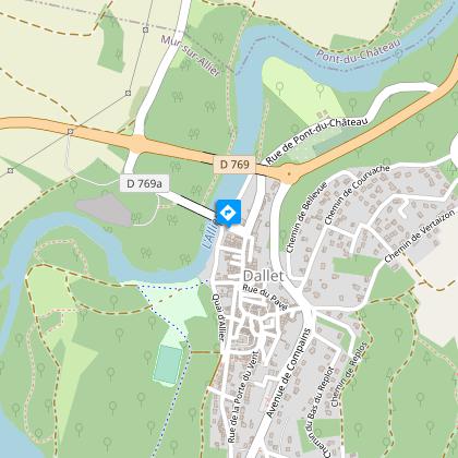
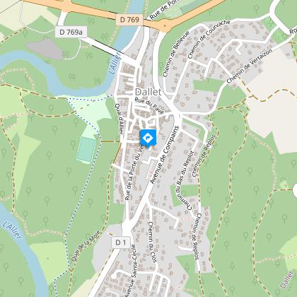
10 km east of Clermont-Ferrand, take the D769 to Dallet. Park in the Square du Général de Gaulle parking lot at the foot of the old metal bridge.
Topo guides and map references
Topo guides references :
2017 - Nature walks - Discovering the Puy-de-Dôme - Conseil départemental du Puy-de-Dôme
Reception complements
For your own safety, always take a bottle of water, a hat, warm clothing and footwear suitable for walking.
Depending on weather conditions, certain itineraries are not recommended in bad weather (fog) or are not practicable, or even forbidden, during the winter season.
Some sites are fragile, so stay on the marked trails. Avoid picking wild flowers and disturbing wildlife. Pick up your garbage.
Animals are not allowed on some routes.
Guidebook with maps/step-by-step
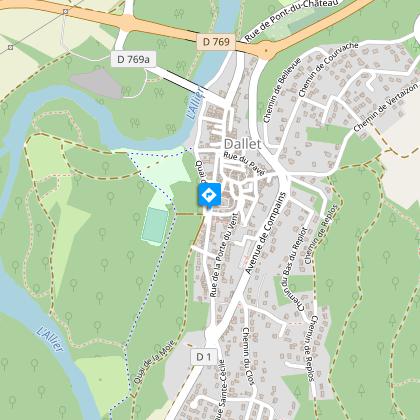
1/ From the start sign, follow the Allier riverbank. Go up the riverbank and at Place des Tilleuls take the path on the right (sentier des écoliers), then the first path on the right which approaches the river. Return left to find the path you abandoned earlier. Go straight ahead, turn left at the fork, cross two chicanes and turn right after the water treatment plant. Pass the stadium, then turn left. Cross Quai de la Moie and climb up to the former Tour du Rempart on Rue Abbé Banier.
2/ Go up this street to turn left into rue de la petite Gobe. When you reach the road, turn left for 20 m.
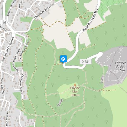
3/ Take chemin des Clos, then turn left onto chemin de la Grande Gobe, which becomes a sunken lane. Go straight up for 600 m to a steep dirt track on the left. Take it, then follow the contour (view of the Dômes range, Sancy, Cézalier, Limagne) to reach a tarmac road after passing a water tower.
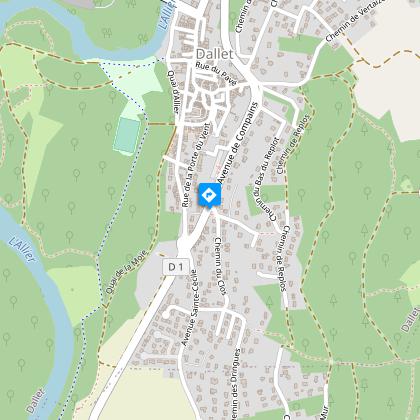
4/ Go down this road for 200 m and take the first path on the left, then keep to the left. At the old reservoir, go down the Côte des Bois road. Pass under a bridge, take rue de la Côte Malais and then rue des Remparts on the left, going around a tower to reach a staircase.
5/ Enter the village downhill, taking rue des Tourelles, Place de l'Horloge, Place de la Halle, rues A. Favre then Antoine Besserve, which takes you back to the starting point.
Proposed and managed by the Conseil départemental du Puy-de-Dôme - PDIPR.
Animals
Yes. Dogs must be kept on a leash due to the presence of herds.
Data author
