Alert
Alerts
Issandolanges
Description
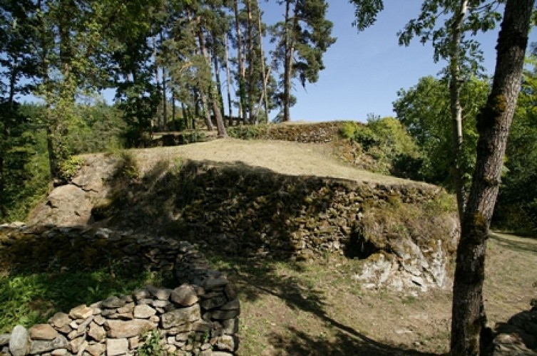
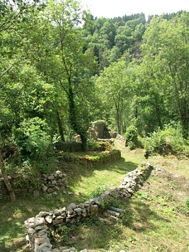
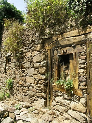
From the top of a rocky spur, Issandolanges reveals 1,000 years of history. This medieval village offers a bread oven, a chapel, the fortified site of a castle and a mill abandoned by man 70 years ago.
Technical Information
Altimetric profile
Starting point
Additional information
Distinctions
Listed PDIPR
Tips
- Ruins of Issandolanges.
- La Dolore.
Updated by
Conseil départemental du Puy-de-Dôme - 02/07/2026
www.puydedome-tourisme.com/
Report a problem
Environments
In the country
Forest location
Presence of livestock and guard dogs
Open period
From 01/01 to 31/12 daily.
Subject to favorable weather.
Contact
Phone : 04 73 95 03 55
Email : contact.arlanc@vacances-livradois-forez.fr
Website : https://www.auvergne-livradois-forez.com/
Location complements
From Arlanc, take the D300 towards Saint-Germain-l'Herm. After 10 km, turn left downhill to Novacelles.
Topo guides and map references
Topo guides references :
2017 - Nature walks - Discovering the Puy-de-Dôme - Conseil départemental du Puy-de-Dôme
Reception complements
For your own safety, always take a bottle of water, a hat, warm clothing and footwear suitable for walking.
Depending on weather conditions, certain itineraries are not recommended in bad weather (fog) or are not practicable, or even forbidden, during the winter season.
Some sites are fragile, so stay on the marked trails. Avoid picking wild flowers and disturbing wildlife. Pick up your garbage.
Animals are not allowed on some routes.
Guidebook with maps/step-by-step
1/ At Novacelles, near the bridge, cross it and turn left onto the D105, which runs alongside the River Dolore. Follow this road for 1 km. Take a left-hand downhill path around a bend, initially bordered by a low wall. Continue to point 1.
2/ Go down to the left as far as the Moulin de Molimard, and return along the same path. Continue left up the path. In the undergrowth, turn left and continue on the track. At the junction with the tarmac road, follow it to the left as far as the hamlet. At the hamlet of Veilles, follow the road to the next hamlet. At Fontenille, follow the track downhill.
3/ At the crossroads (signposted Issandolanges and Pont de la Roche), turn left to the river, cross the footbridge and climb up to the village of Issandolanges (visit: 30 min.). Retrace your steps to point 2, then turn left. Continue along the track to Perpillanges. At the hamlet, follow the road uphill. At the intersection with the D105, head up a path through undergrowth, continuing until you reach the road.
4/ Follow this road to the right as far as the hamlet of La Friteyre. Cross the hamlet; before the exit, take the path rising to the left. Continue on the main path towards the fir forest. Continue along this path to reach a road. At the asphalt road, turn right to enter the hamlet of Longevie.
5/ At the entrance to the village of Longevie, take the first track on the left. Enter a forest (view of the village of St-Bonnet-le-Chastel). Continue along the main path, then at the crow's-foot, take the track on the left. At the second crow's-foot, pass the calvary and return to the starting point.
Proposed and managed by the Conseil départemental du Puy-de-Dôme - PDIPR.
Animals
Yes. Dogs must be kept on a leash due to the presence of herds.
Data author
