Alert
Alerts
Le Burandou
Description
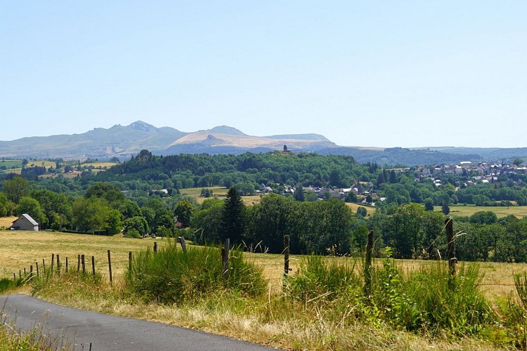
A walk on a wooded plateau offering panoramic views of the Burande valley and the Sancy massif. Nearby, the ancient gold mines of Pont-Vieux are a reminder that gold has been abundant and sought-after in the Puy-de-Dôme since Celtic times.
Technical Information
Altimetric profile
Starting point
Additional information
Tips
- View of the Sancy massif.
Updated by
Conseil départemental du Puy-de-Dôme - 21/07/2026
www.puydedome-tourisme.com/
Report a problem
Environments
In the country
Distinctions
Listed PDIPR
Open period
From 01/01 to 31/12 daily.
Subject to favorable weather.
Location complements
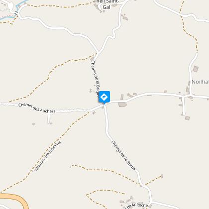
From Tauves (west of the Sancy massif) take the D922 towards Bort-les-Orgues. On the descent, just before a large right-hand bend, turn left onto a small road that leads to the hamlets of Theil St-Gal, Noilhat and La Roche. Parking lot at the crossroads serving these three hamlets.
Contact
Email : infostourisme@auvergnevolcansancy.com
Facebook : https://www.facebook.com/auvergnevolcansancy/
Reception complements
For your own safety, always take a bottle of water, a hat, warm clothing and footwear suitable for walking.
Depending on weather conditions, certain itineraries are not recommended in bad weather (fog) or are not practicable, or even forbidden, during the winter season.
Some sites are fragile, so stay on the marked trails. Avoid picking wild flowers and disturbing wildlife. Pick up your garbage.
Animals are not allowed on some routes.
Guidebook with maps/step-by-step
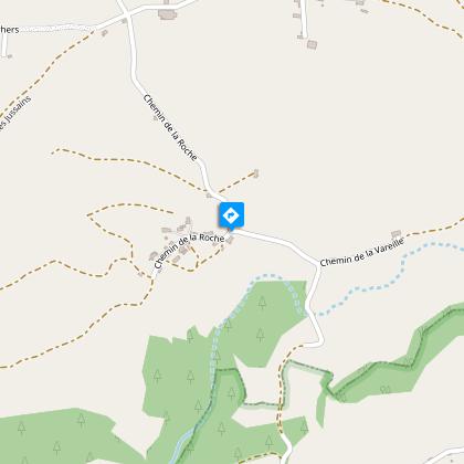
1/ Take the narrow road down to the crossroads at the entrance to La Roche.
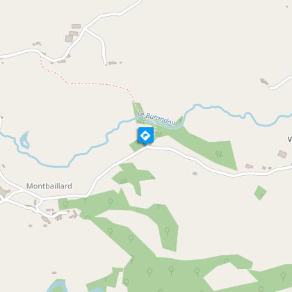
2/ Turn left onto the road. At the crossroads, turn right onto a wide track until you come to a double drinking trough. Opposite it, turn right down a track. Pass by abandoned buildings. Climb a stepladder, then a fence just before an intersection. Turn left, cross the Le Burandou stream on a footbridge and continue straight ahead to a crossroads. Turn left, skirting the Chomet farm, and continue uphill on a wide track. At the crossroads, turn left, pass a farm and join a road. Follow the road to the right. At the crossroads, go left to a detached house in La Plagne.
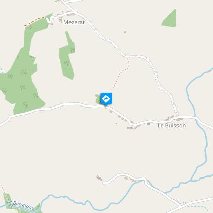
3/ Take the left-hand track. Cross the Burandou again, continue straight ahead and climb to a road. Follow it to the right, cross a hamlet (Le Montel) and climb (viewpoint) to the entrance to the hamlet of Estaux.
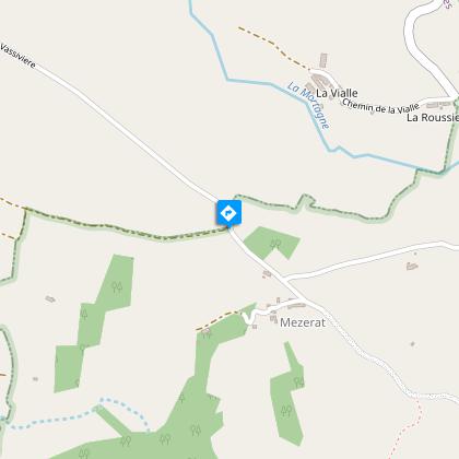
4/ Take the steep left-hand path down to a road. Go left as far as a hamlet. At the crossroads, keep right for 80 m, leave the road and take the wide track opposite to a crossroads (another yellow PR).
5/ Turn left onto a wide track, leaving it after 400 m to go straight ahead on a grassy path. It turns left (view of the Sancy and Cantal massifs) and then immediately right to a road. Take this road to the left and cross Noilhat to reach the start.
Proposed and managed by the Conseil départemental du Puy-de-Dôme - PDIPR.
Animals
No pets allowed.
Data author
