Alert
Alerts
Lake Bourdouze
Description
The glacial imprint is omnipresent. The path follows small semi-circular depressions, cirques and arrives on the Valbeleix plateau (1150 m). The Bourdouze peat bog lake invites you to take a break in the countryside.
Technical Information
Altimetric profile
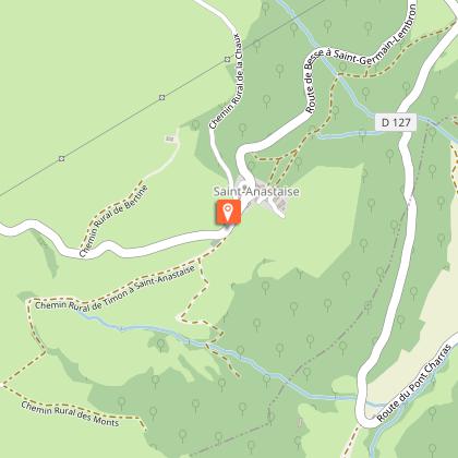
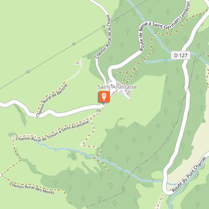
Starting point
Additional information
Open period
From 01/01 to 31/12 daily.
Subject to favorable weather.
Tips
- View over the valley and a rocky chaos.
- Panorama of the Sancy massif.
- Peat bogs.
- Lake Bourbouze.
- Small heritage sites: fountain, buron, stele.
Updated by
Conseil départemental du Puy-de-Dôme - 20/05/2026
www.auvergne-destination.com
Report a problem
Environments
Forest location
Mountain view
Mountain location
Waterside
Presence of livestock and guard dogs
Contact
Phone : 04 73 79 52 84
Email : otsancy-accueil@sancy.com
Website : https://www.sancy.com/decouvrir/toutes-les-communes/besse-saint-anastaise/
Type of land
Ground
Location complements
From Besse, take the D36 towards Compains. At Pont d'Anglard, turn left onto the D127 to Saint-Anastaise.
Topo guides and map references
Topo guides references :
2014 - Randos à croquer - Discovering the Puy-de-Dôme - Conseil départemental du Puy-de-Dôme
Reception complements
For your own safety, always take a bottle of water, a hat, warm clothing and footwear suitable for walking.
Depending on weather conditions, certain itineraries are not recommended in bad weather (fog) or are not practicable, or even forbidden, during the winter season.
Some sites are fragile, so stay on the marked trails. Avoid picking wild flowers and disturbing wildlife. Pick up your garbage.
Animals are not allowed on some routes.
Guidebook with maps/step-by-step
At the cemetery, go down the road for 50 m, then turn right at the intersection and take the left-hand path (Chapelle St-Anastaise). Cross the D127, enter Larzallier, and turn left before the fountain to reach Lignerolles. Cross the D127 again, and take the track opposite to a crossroads of four tracks.
1/ Go straight on for 100 m, then fork to the left.after the gate, follow the barbed wire to the ridgeline overlooking the valley and a rocky chaos.go along the fence leading to the road, which you take to the left, until you reach the entrance to the wood. At the end of the wood, follow the track parallel to the forest in the direction of a buron (beautiful panorama of the Massif du Sancy on the right).
2/ At the buron, continue straight ahead into the forest (leaving the drinking trough below on the left). Cross the forest to reach the road and follow it to the right for 300 m. (At this point, there is a shortcut - not signposted - along the D26 leading directly to the village of Les Chirouzes).
3/ Turn right onto the track leading to Champs. After the farm, turn left down the road. At the crossroads, turn right, then immediately left. Cross a stream. At the road, turn right. At the crossroads, go straight on until you reach the entrance to Anglard.
4/Turn left through the village. Go straight ahead at the fountain and, after the last house, turn right onto the D36. Continue straight ahead to cross it again and reach the lake. Follow it to the left until you reach a marshy area.
5/ At this point, go left into the woods, skirting them, then left up to a ruin.
Continue right to reach the road.
6/ At the stele, turn right onto the D26, then take the first track on the left, leading to the hamlet of Les Chirouzes. Take the first road on the left (signposted C.G.). At the crow's feet, go down to the left, back to the starting point.
Animals
Yes. Dogs must be kept on a leash due to the presence of herds.
Data author
