Alert
Alerts
The Baden plateau
Description
The hiking trail winds through vineyards and orchards, offering exceptional views of the northern slopes of the Côtes de Clermont, the Limagne fault and the volcanoes of the Chaîne des Puys.
Technical Information
Altimetric profile
Starting point
Steps
Additional information
Distinctions
Listed PDIPR
Tips
- The Clermont hills.
- View of the Chaîne des Puys and the Limagne fault.
Updated by
Conseil départemental du Puy-de-Dôme - 28/09/2026
www.puydedome-tourisme.com/
Report a problem
Environments
In the country
Presence of livestock and guard dogs
Open period
From 01/01 to 31/12 daily.
Subject to favorable weather.
Contact
Phone : 04 73 98 65 00
Email : info@clermontauvergnevolcans.com
Website : https://www.clermontauvergnevolcans.com
Facebook : https://www.facebook.com/clermontauvergnevolcans/
Location complements
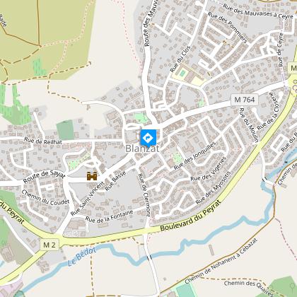
Direction Blanzat, 10 km north of Clermont-Ferrand. Start sign behind the church.
Access to Blanzat by bus line 24 "Champratel-Blanzat", Fradière stop.
Topo guides and map references
Topo guides references :
2014 - Randos à croquer - Discovering the Puy-de-Dôme - Conseil départemental du Puy-de-Dôme
Reception complements
For your own safety, always take a bottle of water, a hat, warm clothing and footwear suitable for walking.
Depending on weather conditions, certain itineraries are not recommended in bad weather (fog) or are not practicable, or even forbidden, during the winter season.
Some sites are fragile, so stay on the marked trails. Avoid picking wild flowers and disturbing wildlife. Pick up your garbage.
Animals are not allowed on some routes.
Guidebook with maps/step-by-step
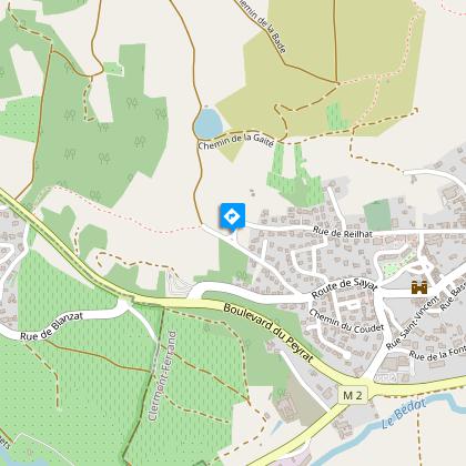
1/ From the war memorial behind the church, go straight ahead on rue de la Libération towards the cemetery. Continue left on rue de Reilhat for approx. 750 m. Cross a small stream and continue to the crossroads.
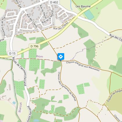
2/ Pass the transformer, turn right and follow the "Balade des Vignerons" path to the right. At the fork in the road (stormwater basin), turn left. At a water catchment, take a path to the right, continue uphill and pass a cave. At the crossroads, turn left, leaving the "Balade des Vignerons" path on your left, climb to the right. Stay on this path until you reach a crossroads on the plateau.
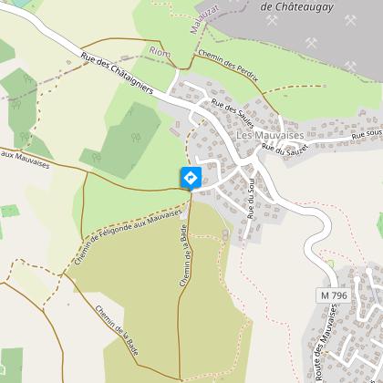
3/ Turn right and continue straight ahead on this path for about 1 km to reach the entrance to the Chemin des Quatre Vents.
4/ Turn right and continue straight ahead, above the parking lot, following the "Balade des Petits et Grands Lapins" path to the crossroads. Go straight down to the crossroads. Turn left for 250 m, then right. At the entrance to the village, follow rue Vigne de Madame, then Passage Saint-Esprit and rue de la République to reach the starting point.
Proposed and managed by the Conseil départemental du Puy-de-Dôme - PDIPR.
Animals
Yes. All dogs must be kept on leashes because of the presence of herds.
Data author
