Alert
Alerts
The Tauves plateau - Lea and Tino's walks
Description
Here, cows peacefully reign, enjoying a privileged environment of rich, fatty grasslands with flowers and plants that give Saint-Nectaire and Cantal their inimitable taste. From this plateau, panoramic views of the Sancy mountains.
Technical Information
Altimetric profile
Starting point
Steps
Additional information
Distinctions
Listed PDIPR
Tips
- Panoramic view of the Sancy, Cantal, Corrèze and Mille Vaches plateau.
- Small heritage: crosses.
Updated by
Conseil départemental du Puy-de-Dôme - 02/06/2026
www.puydedome-tourisme.com/
Report a problem
Environments
In the country
Mountain view
Presence of livestock and guard dogs
Open period
From 01/01 to 31/12 daily.
Subject to favorable weather.
Contact
Email : infostourisme@auvergnevolcansancy.com
Facebook : https://www.facebook.com/auvergnevolcansancy/
Location complements
From Clermont-Ferrand, head for Tauves (55 km south-west of Clermont-Ferrand). 2km before Tauves, opposite a dairy, parking lot and start sign.
Topo guides and map references
Topo guides references :
2014 - Randos à croquer - Discovering the Puy-de-Dôme - Conseil départemental du Puy-de-Dôme
Reception complements
For your own safety, always take a bottle of water, a hat, warm clothing and footwear suitable for walking.
Depending on weather conditions, certain itineraries are not recommended in bad weather (fog) or are not practicable, or even forbidden, during the winter season.
Some sites are fragile, so stay on the marked trails. Avoid picking wild flowers and disturbing wildlife. Pick up your garbage.
Animals are not allowed on some routes.
Guidebook with maps/step-by-step
1/ From the start sign, follow the narrow road for 20 m, then turn left onto a wide track. Continue for about 1 km until you reach a crossroads.
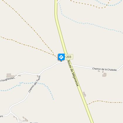
2/ Turn left. Ignore a track on the left, and 150 m after a water tower (panoramic view of the Sancy, Cantal, Corrèze and Plateau de Mille Vaches), turn right. Leave a track on the right and continue straight ahead until you reach an intersection with a small road.
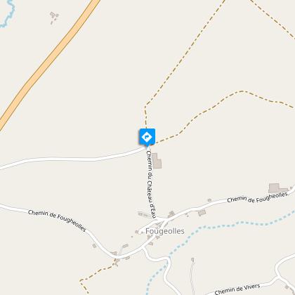
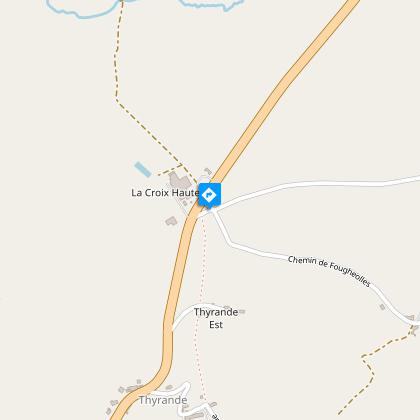
3/ Turn right onto this road. At the crossroads (cross on the left), turn right, leaving the first track on the right, continue downhill to a transformer at La Ribeyre. Turn right towards Fougeolles. Climb to a T-junction (cross), turn right, then left at the next junction. Continue straight ahead to reach point 1, then turn left to reach the start sign.
Proposed and managed by the Conseil départemental du Puy-de-Dôme - PDIPR.
Animals
Yes. Dogs must be kept on a leash due to the presence of herds.
Data author
