Alert
Alerts
Clémensat
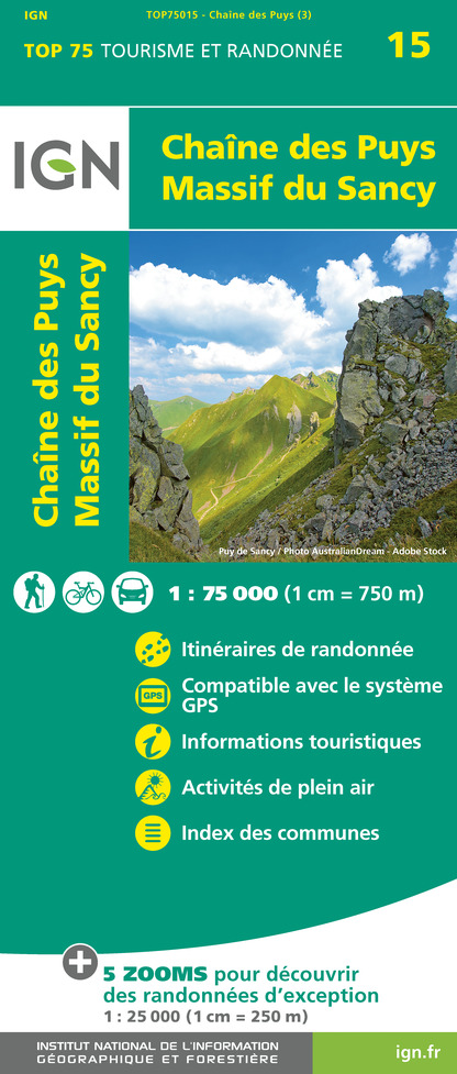
IGN cards


Description
From the medieval village of Saint-Floret, you can cross the Pède bridge to discover orchards, meadows and old terraced vineyards. Beautiful views over the village and the gorges of the couze Pavin.
Starting point - From the sign in Saint-Floret, on the Hôtel des Voyageurs car park, place du Marronnier, crossroads between the D26 and the D627, follow the Couze upstream, along the D26, towards Saurier for 200 m.
1 - Just before the speed bump, take the Chemin de la Rochette on the right, which climbs through the gardens to the top of the hill.
2 - 20 m after the power line, take the wide track on the left and go down in front of the houses. At the first crossing, turn left and follow the EDF line (during the ascent, point of view on the village and the church of Chastel). Ignore the first crossing by staying on the left then, when you reach the crow's feet, continue on the right the path that goes up on the plateau. Cross the car park under the power line and take the road in front of it.
3 - Take the road on the right towards the village of Clémensat. Cross the village to the fountain and continue on the road to Saint-Floret. At the end of the village, opposite the campsite, turn left for 20 m and then right (on the climb, view on the terraces: pailhats) and continue until you reach a path on the right (view on the church of Chastel located on the other side of the valley).
4 - Leave the path to follow this path which goes down perpendicularly to the right, then 300 m further on take a left on 400 m. Turn right on the small steep path that goes down in front of the village. At the cross, take the road on the right and cross the village to return to the starting point.
Technical Information
Altimetric profile
Starting point
Additional information
Environments
In the country
Mountain view
Presence of livestock and guard dogs
Updated by
Conseil départemental du Puy-de-Dôme - 24/11/2025
www.auvergne-destination.com
Report a problem
Open period
From 01/01 to 31/12 daily.
Subject to favorable weather.
Contact
Phone : 04 73 89 15 90
Email : tourisme@capissoire.fr
Website : http://www.issoire-tourisme.com
Animals
Yes
Data author
