Alert
Alerts
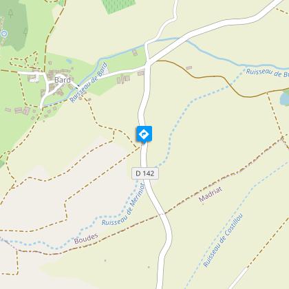
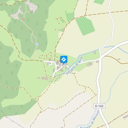
Bard and Letz
Description
The Valley of the Saints is an important geological heritage of the Puy-de-Dôme thanks to its originality and quality. Strange glowing ridges rise above the vegetation up to 30 m high. The place looks like the "Colorado Provençal".
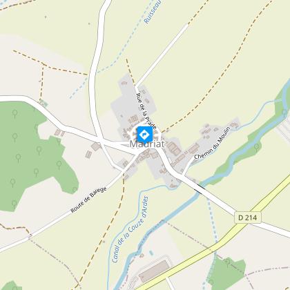
Starting point - From the starting sign, attached to the common oven near the fountain, follow the D723 to the crossroads at the exit of Madriat. Take the D142, towards Boudes for 1.5 km (at the height of a dovecote, overlooking Nonnette, the Livradois mountains and the Boudes hills). After crossing a wooded stream, continue to the first road on the left.
1 - Take it and turn immediately to the right to reach the village of Bard. Cross the bridge and continue until you reach the ordinary oven; go around it and go up to the left in rue de la Fontaine. At the T-junction, turn right and then immediately left. At the end of the village, leave the road on the left and take the wide path for 100 m until you reach the intersection with a path that leads to the source of Bard (signs).
2 - Turn to the right. At the spring (salt water source), follow the path to the left into the forest, cross a landscaped passage and go back up. At the belvedere (view on the red clay cliff), take the footbridge on the right and then the stairs. At the fork stay on the left (right A/R at the Cirque des Mottes). Join a wide path (junction with other yellow PR - right at 50 m A/R at the vallée des Saints), turn left. At the crossroads, go up in front until the next crossroads.
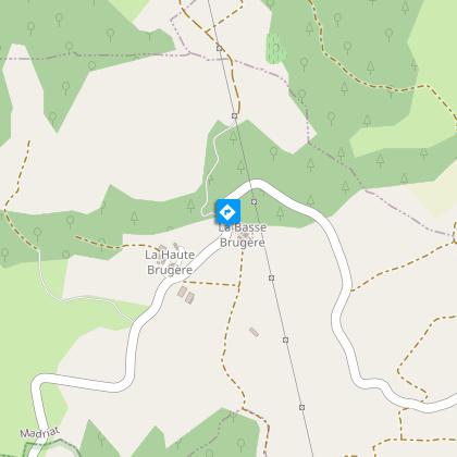
3 - Turn left (other PR on the right) (view on the Lembron, the Livradois, the summit of Forez, the peak of Avoiron, the peak of Montcelet). Continue until the crossing at the entrance to the hamlet of Brugère-Basse.
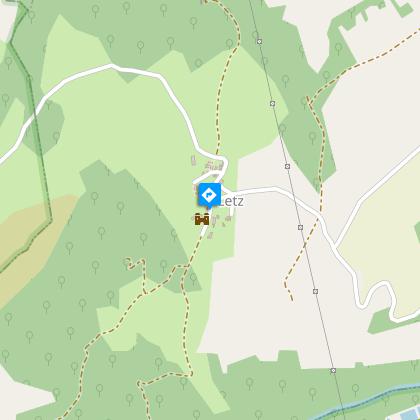
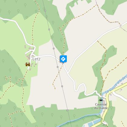
4 - Turn right then immediately left to cross it (fortified farm and remarkable building). Go around the last house and continue straight ahead along a wide path, cross a fording stream and turn right at the next intersection (view of the red ochre cliff and Madriat). Continue until Letz. Enter the village by crossing the road and taking a narrow, grassy path in front of it, bordered by old buildings. At the T-junction, turn right. The path turns left at a water trough. Continue straight ahead until you reach the ordinary oven (castle).
5 - Go down the road to the left and then immediately to the right. Continue for 400 m until you reach an intersection at an isolated farm building and turn left. Go down to the 2nd fork and continue to the right. At the T-junction, turn right until you reach a new T-junction. Turn left to the village of Madriat to reach the starting sign.
Technical Information
Altimetric profile
Starting point
Steps
Additional information
Environments
In the country
Presence of livestock and guard dogs
Updated by
Conseil départemental du Puy-de-Dôme - 27/03/2026
www.auvergne-destination.com
Report a problem
Open period
From 01/01 to 31/12 daily.
Subject to favorable weather.
Contact
Phone : 04 73 89 15 90
Email : tourisme@capissoire.fr
Website : http://www.issoire-tourisme.com
Animals
Yes
Data author
