Alert
Alerts
La baie de Sallenelles


Description
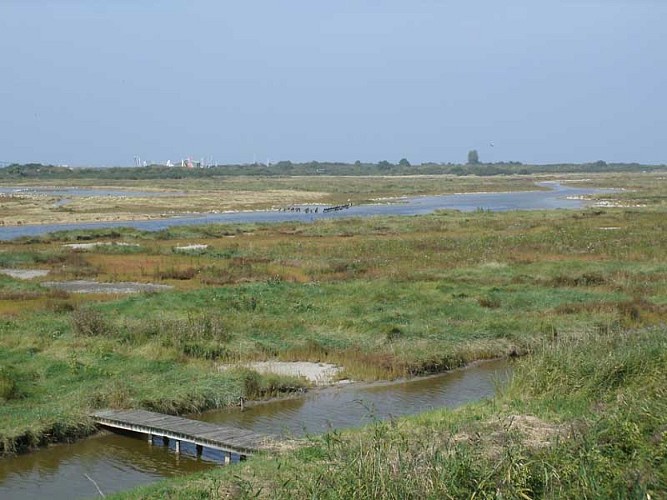
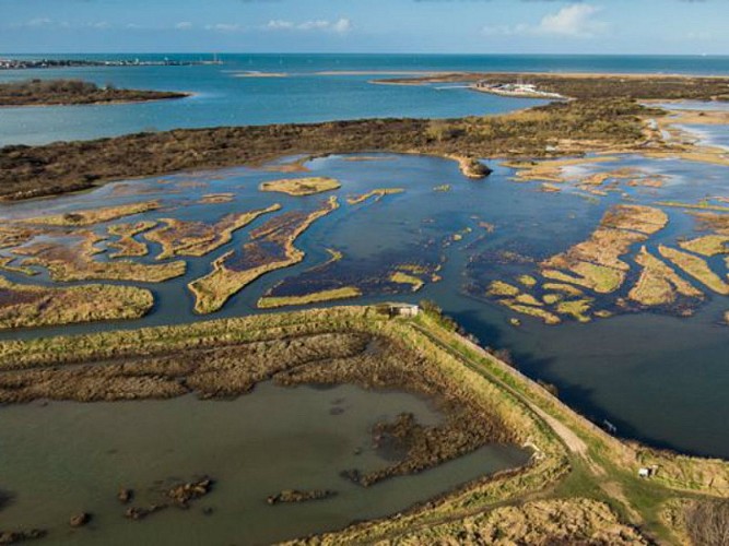
Starting from Sallenelles, this 15 km walking route takes you on a journey of discovery through the landscapes and natural habitats of the Orne estuary, on the Calvados coast.
The route runs alongside Sallenelles Bay, a favourite resting place for migratory birds, then skirts the Gros-Banc before reaching Merville-Franceville-Plage. The route alternates between coastal paths, seaside stretches, small roads and country lanes. There are also several vantage points offering views of Ouistreham, on the opposite bank of the estuary.
The loop then follows the banks of the River Orne to the Pointe de la Roque, before returning to Sallenelles. A walk combining exploration of coastal landscapes, nature watching and local heritage.
Technical Information
Altimetric profile
Starting point


Additional information
Contact
Tel : 02 31 24 23 57
Email : merville-franceville@normandie-paysdauge.fr
Website : https://www.normandie-cabourg-paysdauge-tourisme.fr/destinations/merville-franceville-plage/
Data author
