Alert
Alerts
N°1 Vale and crest of Tiergues
Description
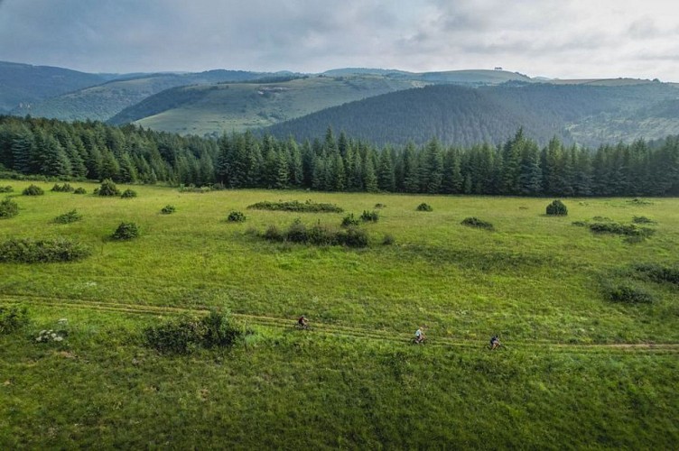
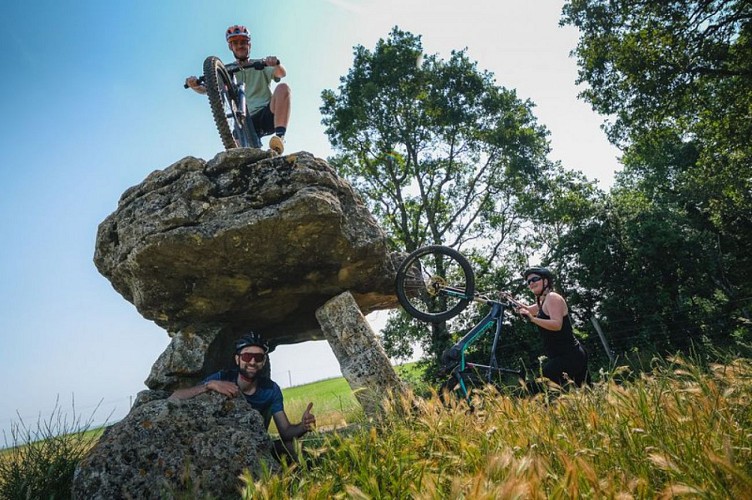
This mountain biking tour you will permit to discover two relic of the past: the Rock of Caylus on which was built the castle overlooking the city and the Dolmen Tiergues historical monument.From the F. Fabié square, take the D50 (usually called the graveyard road) for 2.5 km up to the Moulin du Juge.Before crossing the small bridge, take the path on the left hand side (2nd marker).Cycle up the vale to the road intersection close to the well known dolmen de Tiergues (it is a 2 km ride there and back to have a look at it). Then take a wide and steeper path which leads to the hamlet of Tiergues.When you leave the hamlet, cycle up to the crest of the path towards the East.This section of the route provides you with beautiful views overthe surrounding landscape: the avant Causse du Larzac towards the East, the Monts de Lacaune to the South and the Rougier de Camares to the West. To the North, isthe village of Bouloc with its relay mast rising to more than 1000m above sea level marking the horizon. The way back to Saint-Affrique is mostly a descent except for the approach to the Rocher de Caylus which requires a little extra energy, but the discovery of this site, which resembles a petrified fortress watching over the “villotte” is worth the effort.
Technical Information
Altimetric profile
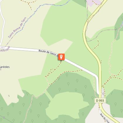
Starting point
Steps
Points of interest


Additional information
Public transport
Travel by bus or train: lio.laregion.fr/carpooling : BlaBlaCar, Rézo Pouce, Mobicoop, Idvroom, LaRoueVerte, Roulez malin
Advice
Box tree moths are active from May to October. During the caterpillar phase, they feed on the leaves of box trees. They crawl down trees and move on long silken threads, although these threads are annoying when hiking they do not pose any health risk
Is in the midst of the park
This itinerary is located in the World Heritage zone Causses and Cévennes, mediterranean agropastoral cultural landscape.
Advised parking
Recommended carparks: on Maréchal Foch square or on Général de Gaulle square
Access
Saint-Affrique is situated 31 km South West from Millau via the D992 and D999 roads.When driving from Clermont-Ferrand or Montpellier via the A75, take exit n°46, then follow the road D999 up to Saint-Affrique.From Toulouse/Albi follow the road D999 up to Saint-Affrique.
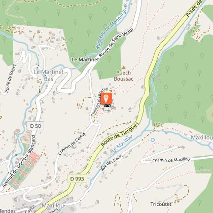
Arrival
At the tourist office
Ambiance
It first follows a road, then a trail and eventually a singletrack rising gently up to the village of Tiergues where you will be able to enjoy a typical caussenarde architecture. The way back which goes along a ridge line provides a wonderful 360-degree view and a nice downhill ride to the Caylus Rock which overlooksSaint-Affrique.
Departure
From the tourist office join the place François Fabié
Data author
