Les petits chemins de la Drôme


Technical Information
Altimetric profile
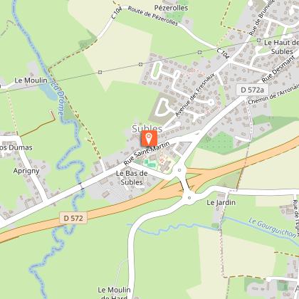
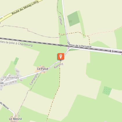
Starting point
Steps
1
Départ depuis le parking de la mairie de Subles. Descendre vers l’église.
2
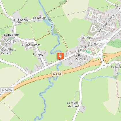
Franchir la Drôme et tourner à droite. Poursuivre tout droit sur cette route puis dans le chemin creux dans l’axe.
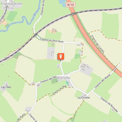
3
Tourner à gauche. Au croisement suivant prendre à droite, suivre la route sur quelques mètres, puis emprunter le 1er chemin à gauche.
4
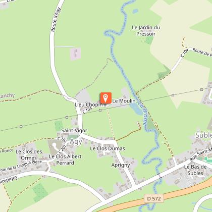
Au croisement avec la RD 207, prendre la voie sur votre droite. Après 250 m, tourner à droite sur le 1er chemin.
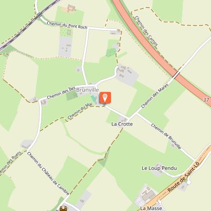
5
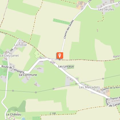
Poursuivre à droite sur la route jusqu’à l’entrée de Ranchy.
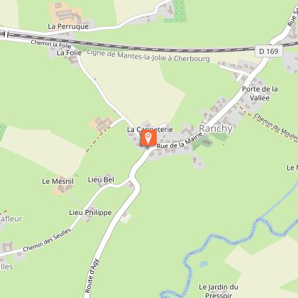
6
Tourner à gauche côté calvaire. À 150 mètres après l’église, prendre la 1ère rue à droite en empruntant le chemin du moulin.
7
Dans le virage prendre le chemin à gauche qui longe la maison. Le suivre jusqu’à retomber sur cette route après avoir passé l’aire de pique-nique.
8
Dans le virage prendre le chemin à gauche qui longe la maison. Le suivre jusqu’à retomber sur cette route après avoir passé l’aire de pique-nique.
9
A la route, prendre à droite. Au croisement tourner à gauche, au suivant à droite.
10
Emprunter le 1er chemin à droite. Au bout, tourner à gauche pour revenir au point 6 où il faut continuer tout droit.
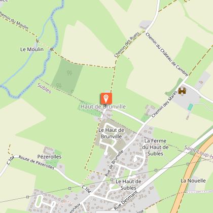
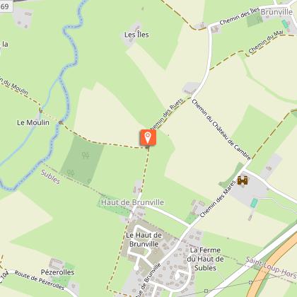
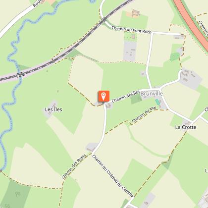
11
Au Haut de Brunville poursuivre tout droit sur le chemin. Continuer à droite derrière les maisons.
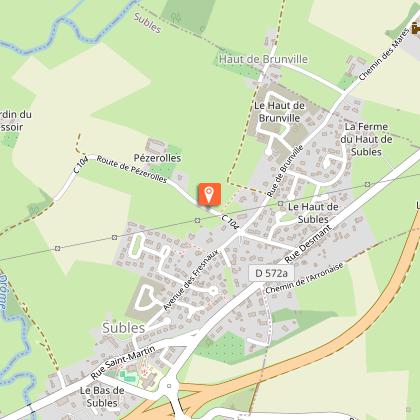
12
Tourner à droite. Continuer sur la route qui domine la vallée et en face sur le chemin qui descend puis longer la rivière. Le suivre jusqu’au bourg où vous tournez à gauche pour rejoindre la mairie.
