Alert
Alerts
Type of practice
Walking
Easy
2h30mn
Presentation
Description
Map
Steps
Points of interest
Ratings and reviews
See around
N°18 - Le chemin de la transhumance


IGN cards
1446ET - TARDETS-SORHOLUS-ARETTE LA PIERRE ST-MARTIN CANYONS DE LA HAUTE SOULE
Editor : IGN
Collection : TOP 25 ET SÉRIE BLEUE
Scale : 1:25 000
13.90€
1546OT - OLORON-SAINTE-MARIE
Editor : IGN
Collection : TOP 25 ET SÉRIE BLEUE
Scale : 1:25 000
13.90€
TOP75018 - VIGNEMALE PIC DE GER VALLEE D'OSSAU
Editor : IGN
Collection : TOP 75
Scale : 1:75 000
9.80€

166 DAX BAYONNE PAYS BASQUE
Editor : IGN
Collection : TOP 100
Scale : 1:100 000
8.40€

TOP100D64 - PYRÉNÉES-ATLANTIQUES PAU BAYONNE BIARRITZ PAYS BASQUE BÉARN
Editor : IGN
Collection : TOP 100
Scale : 1:100 000
8.40€

89030 - TRAVERSEE DES PYRENEES GR10®
Editor : IGN
Collection : DECOUVERTE DES CHEMINS
Scale : 1:100 000
9.10€

D64 PYRÉNÉES-ATLANTIQUES
Editor : IGN
Collection : CARTES DÉPARTEMENTALES IGN
Scale : 1:150 000
5.90€

NR10 NOUVELLE-AQUITAINE RECTO /VERSO LIMOUSIN POITOU
Editor : IGN
Collection : CARTES RÉGIONALES IGN
Scale : 1:250 000
6.80€

NR11 NOUVELLE-AQUITAINE RECTO/VERSO BASSIN AQUITAIN
Editor : IGN
Collection : CARTES RÉGIONALES IGN
Scale : 1:250 000
6.80€

EUROPE
Editor : IGN
Collection : DÉCOUVERTE DES PAYS DU MONDE IGN
Scale : 1:2 500 000
7.00€
Description
Transhumance consists of moving herds on foot from the valleys to the high mountains during the summer. This ancient practice allows herds to graze in the summer and cultivate the valley lands. An ancestral practice, transhumance has been inscribed as a UNESCO World Heritage since 2023.
Technical Information
Walking
Difficulty
Easy
Duration
2h30mn
Dist.
6.8 km
Type of practice
Walking
Easy
2h30mn
Show more
Altimetric profile
Starting point
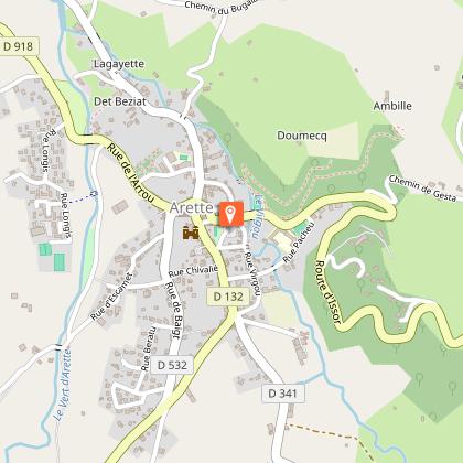
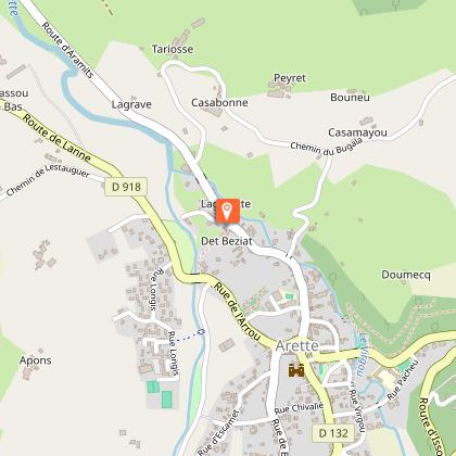
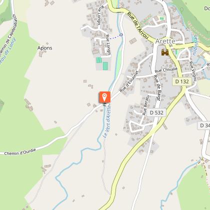
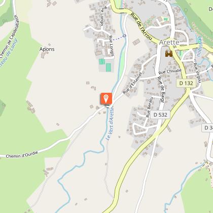
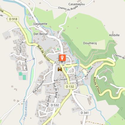
Lieu-dit Salet Cœur du village d’Arette, jardins du Salet
,
64570
ARETTE
Lat : 43.094697Lng : -0.7156093
Steps
Additional information
Balisage
Yellow
Deux traits jaune
Typologie de l'itinéraire
Return
Durée moyenne de l'expérience
2 to 3 hours
Thèmes
Cultural
Natural
Data author

proposed by
Communauté de Communes du Haut-Béarn
12 place Jaca 64400 Oloron-Sainte-Marie Cedex France
Ratings and reviews
To see around


