Alert
Alerts
Seytroux river walk
IGN cards


Description
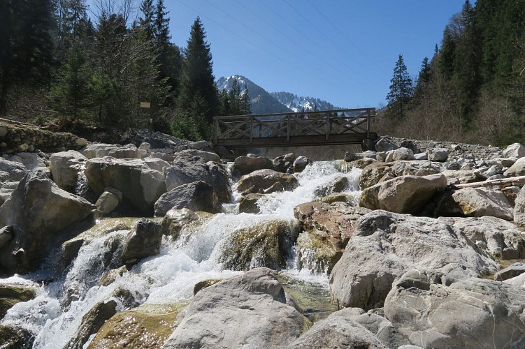
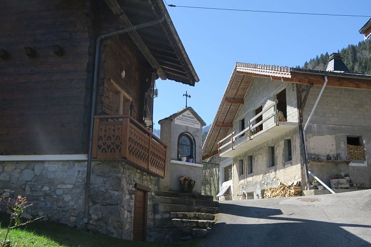
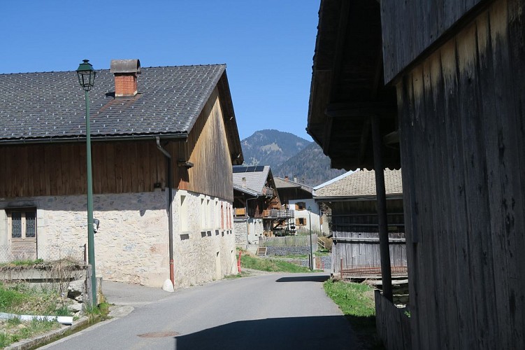
A family walk that begins with a peaceful path along the Seytroux river, known here as the Nant de Seytroux, before exploring the hamlets of Seytroux and their traditional houses.
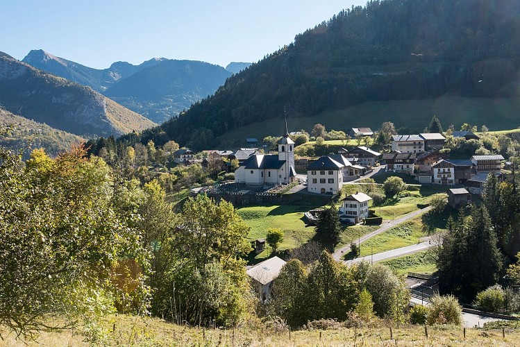
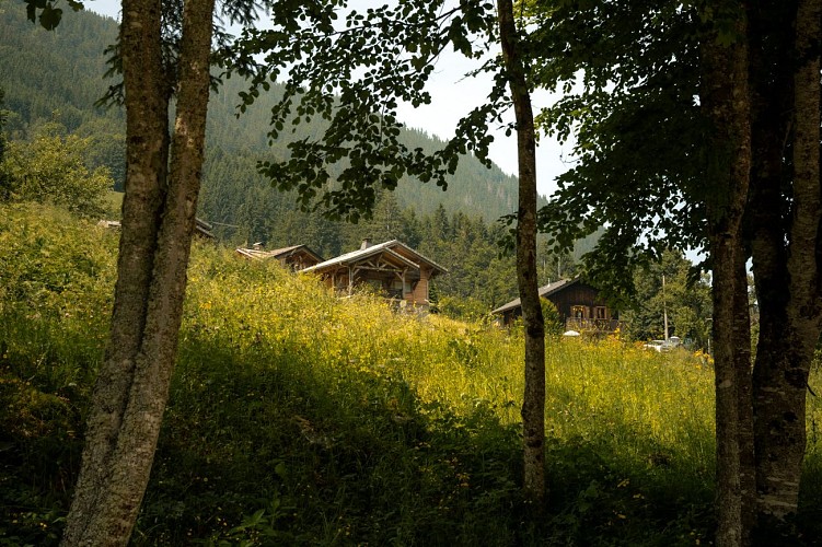
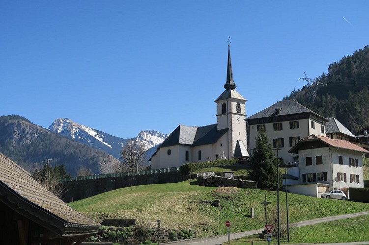
Don't miss the view of the village centre, with the summit of Pic de la Corne in the background, from the hamlet of Le Crêt!
Technical Information
Altimetric profile
Starting point

Additional information
Open period
All year round daily.
Recommended practice period: all year round. Can be done in all weathers.
Subject to favorable weather.
Updated by
Vallée d'Aulps Tourisme - 15/09/2025
www.valleedaulps.com
Report a problem
Environments
Riverside
Overview on river
Mountain view
Waterside
Contact
Phone : 04 50 79 65 09
Email : info@valleedaulps.com
Website : https://www.valleedaulps.com
Facebook : https://www.facebook.com/valleedaulpstourisme
Type of land
Ground
Hard coating (tar, cement, flooring)
Grit
Suitable for all terrain strollers
Location complements
Departure from the mini-golf car park in Seytroux
> Access by car from Thonon or Cluses via the D902 then the D294 to the roundabout (opposite the Kern restaurant), turn right then left just after the bridge (route des Meuniers), parking 200 metres further on the left.
> Access by shuttle bus: Balad'Aulps Bus stop (valley shuttle bus) in front of the Kern restaurant (200 metres from the start of the walk).
Topo guides and map references
Map references :
Map: IGN TOP 25, 3528 ET, Morzine
Reception complements
- Choose your route according to your physical condition and the weather conditions.
- Follow the instructions for signposting.
- Don't set off too late in the afternoon, to make sure you're back before dark.
- Take sufficient food and water with you. Mountain sports require a lot of energy
Guidebook with maps/step-by-step
Start: Seytroux mini-golf parking lot
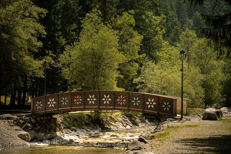
1/ Head for the wooden bridge. Cross it and turn right onto the path alongside the torrent.
2/ Turn right, cross the stream and join the road. Turn right onto Route des Meuniers at a hairpin bend. Follow the road as it rises to the left.
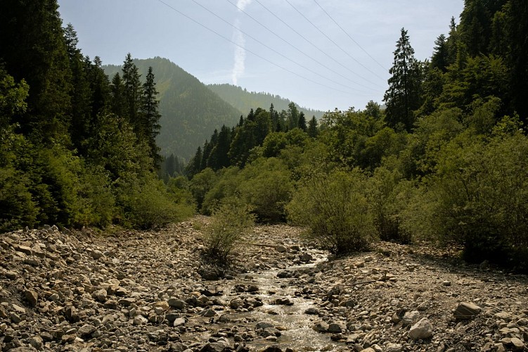
3/ At Les Meuniers, stay on the right-hand road. Go straight ahead at the T-junction, cross the Ruisseau de l'Avanchéreau and continue to reach the hamlet of Seytroux.
4/ Continue straight on, passing the hamlet of Le Crêt, where you'll still find a number of houses with traditional architecture.
5/ At the end of the hamlet, take the path that crosses the meadow to the right and joins the road leading to the parking lot. Turn right, staying right at the crossroads without crossing the bridge over the Torrent de Seytroux, and follow it to the parking lot.
Animals
Yes. Pets allowed
