Alert
Alerts
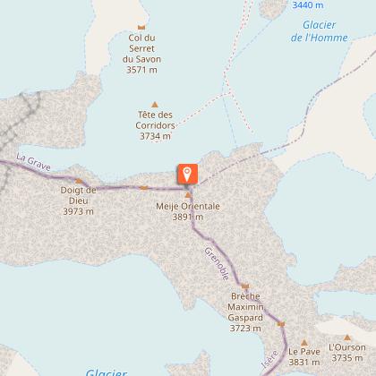
Meije Orientale (3,891m)
Description
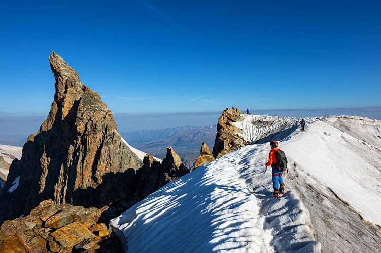
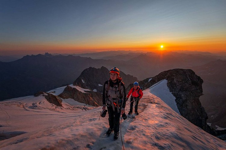
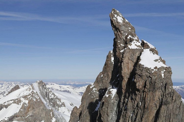
La Meije Orientale (East Meije) is the easiest of the three peaks of La Meije. Its summit offers a remarkable view of the Doigt de Dieu (Finger of God, the central peak) and the arêtes of La Meije. An arête of unrivalled grandeur on an iconic peak in the
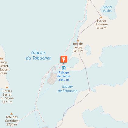
Sunrise at the Refuge de l'Aigle, the imposing glacial ambience, the distant view of Mont Blanc, an arête of perfect snow... all combine to create a sense of harmony with the elements. The approach to La Grande Meije is a life-changing experience, a step towards self-reliance, a high-altitude journey. Everything that makes up mountaineering and the commitment it requires are united in this goal.
Technical Information
Altimetric profile
Starting point
Steps
Additional information
Updated by
Parc national des Écrins - 15/03/2026
www.ecrins-parcnational.fr/
Report a problem
Tips
In the descriptions, you will find elevations which are intended as a reference point to locate your position on a gradient or slope. These should be taken with a margin of error (~ +/- 30 metres), especially where they are not set or referenced by the IGN. In the last resort, it is your own experience that will guide you when, maybe at the foot of five dihedral corners all indistinguishable from one another, you are complaining bitterly about your guidebook or even a friend's sketch. It would be difficult to grasp all the complexity of a route using just a description or a photo view of the route. Only the three aids together (description/photo with a route overlay/IGN map) will give you a comprehensive picture.
The conditions of a route or the mountain can change, and sometimes the description will differ from what you encounter on the ground. Be your own guide. These descriptions are not absolute reality and sometimes intuition will serve you better than a guidebook. So BONNE ROUTE, with or without a map to lead you through the maze!
From the book by Sébastien Constant (2007), Voies normales et classiques des Ecrins, Éditions Constant, L'Argentière-la-Bessée, p. 18.
Is in the midst of the park : The national park is an unrestricted natural area but subjected to regulations which must be known by all visitors.
Location complements
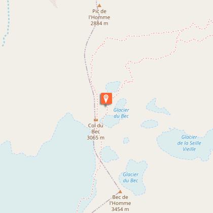
Departure : Villar-d’Arêne.
Arrival : Villar-d’Arêne.
Road access : From Villar-d'Arêne, which is accessible via the D1091 from Le Bourg d'Oisans or Briançon, take the minor road D207 towards Pied du Col. At the first junction, turn right for 850m to the Pont Vieux or Les Brebis car park..
Parking recommended : Pont Vieux or Pont des Brebis car park .
Reception complements
Hard
Guidebook with maps/step-by-step
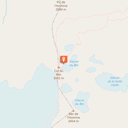
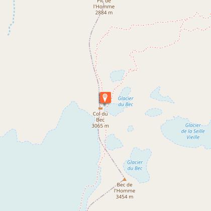
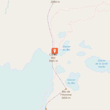
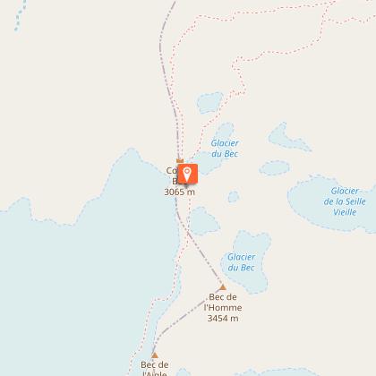
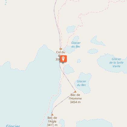
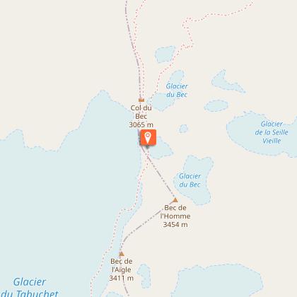
Leaving Villar-d'Arène, the climb to the Aigle refuge and its rocky crag is made up of steep switchbacks. The climb takes you successively across the Glacier du Bec, the Bec de l'Homme and the Glacier du Tabuchet.
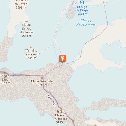
The second stage allows you to climb the Meije Orientale and enjoy its magnificent panorama before take the same route back down to Villar-d'Arène as on the outward journey.
