Alert
Alerts
The Lac des Fétoules and La Lavey


Description
The ascent to the Lac des Fétoules is a beautiful trail overlooking the valley of La Lavey and offering views of the high peaks of L'Oisans.
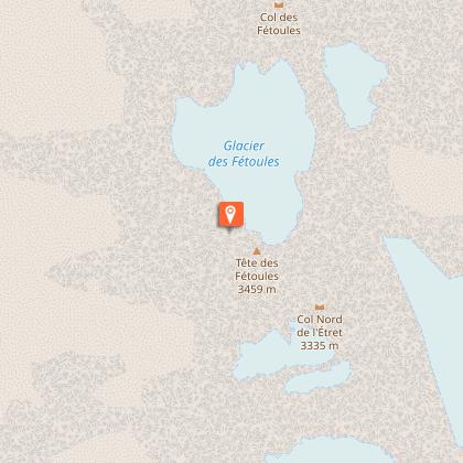
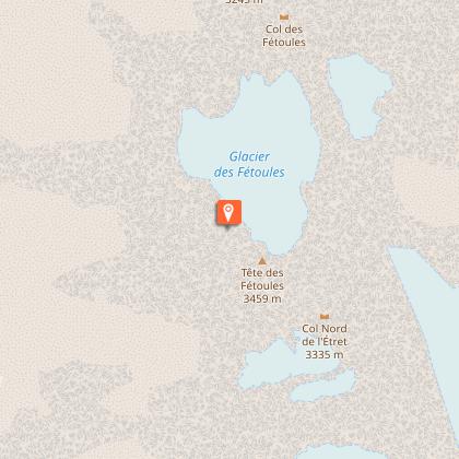
A path which has fresh, cool mountain streams along the way, and rises up into the world of alpine pastures and the Lac des Fétoules. In the deserted hamlet of La Raja, reconnect with a mountain once inhabited, its ruins and its beliefs, in the heart of a beautiful mixed forest. Above the Refuge de La Lavey, the Lac des Fétules offers lucky walkers the opportunity to take a break with a wide-open view over the entire valley and its glaciers.
Technical Information
Altimetric profile
Starting point
Steps
Additional information
Tips
Is in the midst of the park : The national park is an unrestricted natural area but subjected to regulations which must be known by all visitors.
Herd protection dogs : In mountain pastures, protection dogs are there to protect the herds from predators (wolves, etc.).When I hike I adapt my behavior by going around the herd and pausing for the dog to identify me.Find out more about the actions to adopt with the article "Protection dogs: a context and actions to adopt".Tell us about your meeting by answering this survey.
Location complements
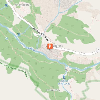
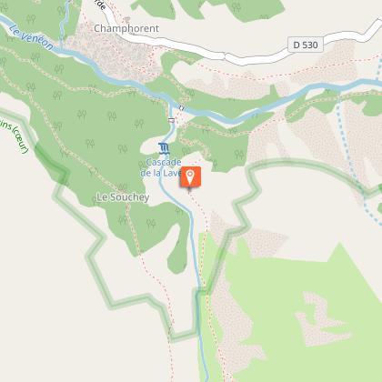
Departure : Champhorent.
Arrival : Champhorent.
Road access : Follow the D530 to St-Christophe en Oisans
Carry straight on for a further 3 kilometres until you come to the hamlet of Champhorent. The car park is downhill from the D530..
Parking recommended : Car park in Champhorent .
Contact
Phone : 04 76 80 50 01
Website : http://www.berarde.com/
Updated by
Parc national des Écrins - 14/06/2026
www.ecrins-parcnational.fr/
Report a problem
Guidebook with maps/step-by-step
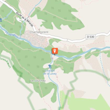
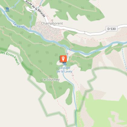
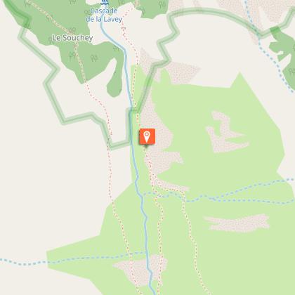
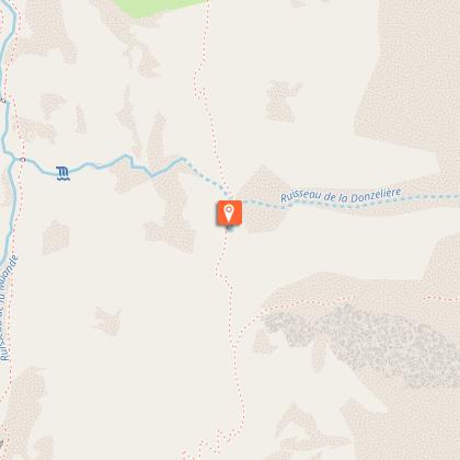
1. Take the path at the back of the car park to drop down to the mountain stream Le Vénéon and its magnificent bridge, the Pont des Rajas.
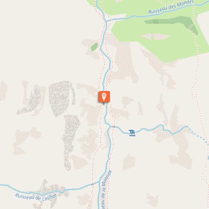
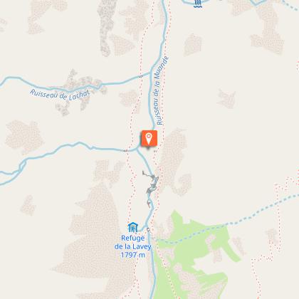
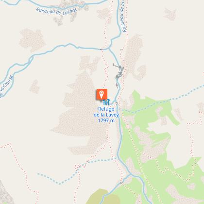
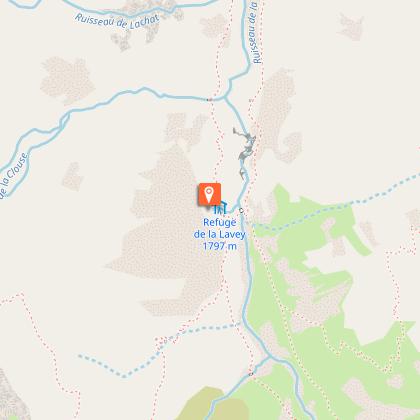
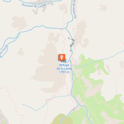
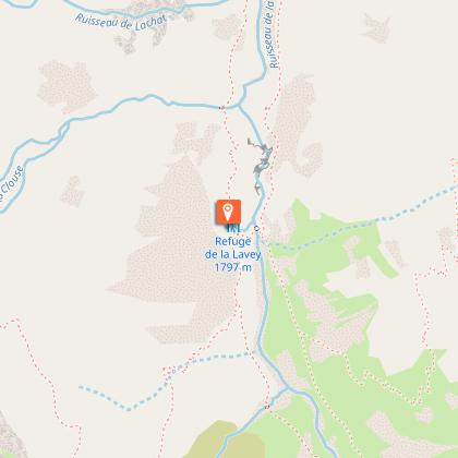
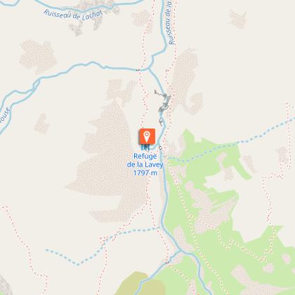
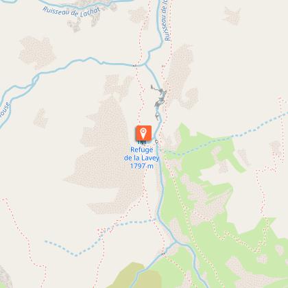
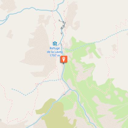
2. Cross the pretty stone bridge and head uphill towards the houses of Les Rajas. Carry on uphill to reach the valley, the Vallon de la Lavey, and follow the right-hand bank of the mountain stream, and then cross to the left-hand bank over a second stone bridge. At the shepherd's hut, cross a gently sloping area of stone slabs until you come to the refuge hidden behind this small glacial rock bar.
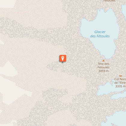
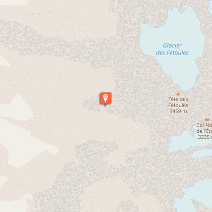
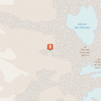
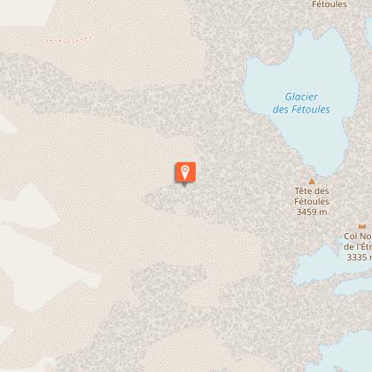
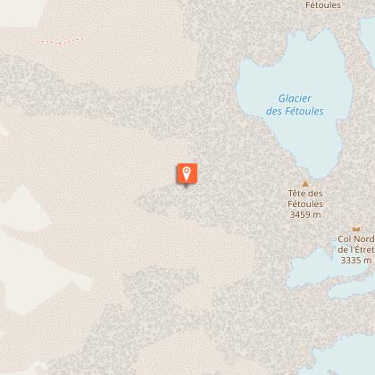
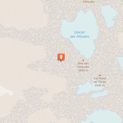
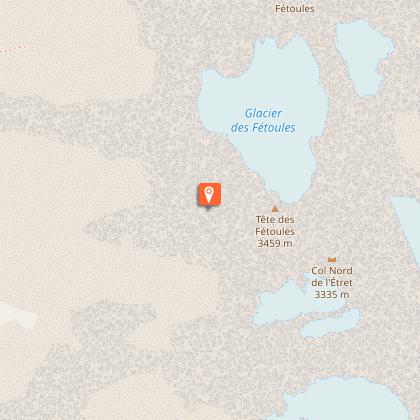
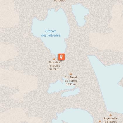
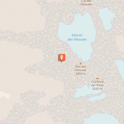
3. After the refuge, cross the mountain stream La Muande and head towards the Lac des Fétoules. You wind uphill across some screes and grassy slopes until you reach the Lac des Fétoules.
4. You then drop relatively steadily until you come to the path leading to the refuge.
5. Turn right and follow the outward route in reverse to reach the car park in Champhorent.
