Alert
Alerts
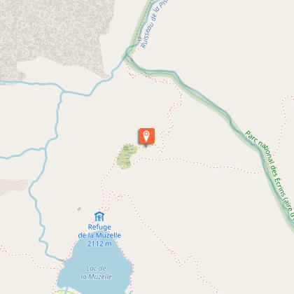
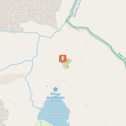
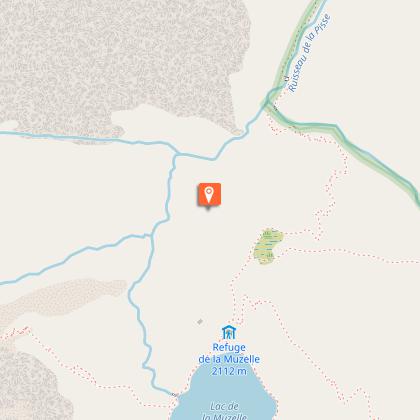
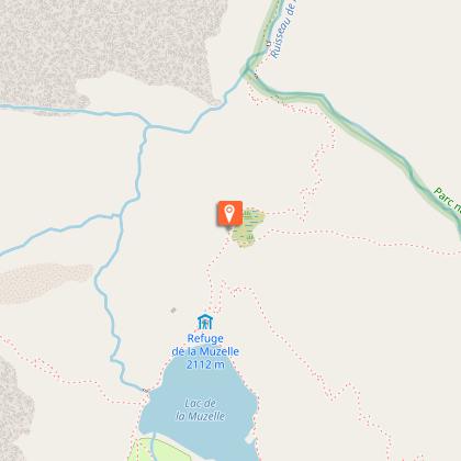
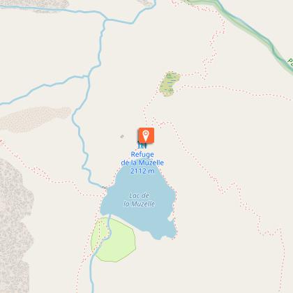
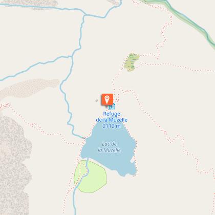
Muzelle Lake


Description
This hike goes through a forest of resinous trees and Beech trees until the refuge and the lake at Muzelle...
Going up to Muzelle lake is like touching the past. Go up to the waterfalls following the traces of the shepherds... Discover, the ultimate reward, the lake where the imposing suspended glacier is reflected... The comfort of the refuge, pastoral calm, magical moments...
André Brun, retired park ranger in the sector of Muzelle.
Technical Information
Altimetric profile
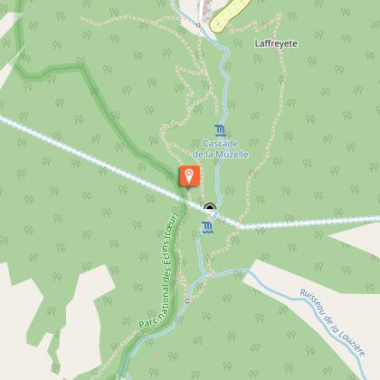
Starting point
Steps
Additional information
Updated by
Parc national des Écrins - 25/05/2026
www.ecrins-parcnational.fr/
Report a problem
Location complements
Departure : L'Alleau, Vénosc.
Road access : From Bourg-d'Oisans follow the D1091, and then take the direction La Bérarde on the D530. At Bourg d'Arud turn right after the bridge over the Vénéon and reach l'Alleau. .
Parking recommended : After the bridge at l'Alleau, along the Vénéon river .
Public transport : Coach stop : l'Alleau .
Tips
Is in the midst of the park : The national park is an unrestricted natural area but subjected to regulations which must be known by all visitors.
Herd protection dogs : In mountain pastures, protection dogs are there to protect the herds from predators (wolves, etc.).When I hike I adapt my behavior by going around the herd and pausing for the dog to identify me.Find out more about the actions to adopt with the article "Protection dogs: a context and actions to adopt".Tell us about your meeting by answering this survey.
Contact
Phone : 04 76 80 03 25
Website : https://www.bourgdoisans.com/
Guidebook with maps/step-by-step
From the car park which is next to the left bank of the Vénéon just after the bridge, take the narrow road that leads to the end of Alleau hamlet. Go over the little bridge and take the paved path that goes up steeply into the forest. . After a few bends, a long restful crossing enables you to reach "le Cerisier", a group of houses in ruin. Continue on the path which follows the left bank of the Muzelle torrent, these bends lead to waterfalls which are very welcome in times of great heat. When you arrive at the foot of a big shale slope, the track zig-zags across the torrent and there are many bends to reach a beautiful lawn, then a basin full of bog. Arrive finally at a little hill to see the Muzelle lake and its refuge. Go down on the same path.
