Alert
Alerts
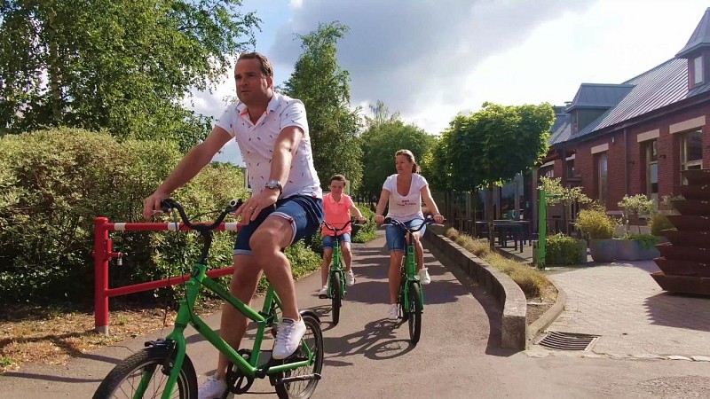
Bike ride of the slag heaps and coal mines
IGN cards


Description
The country roads on this route criss-cross the Pays de Herve between the hills and small valleys of the region.
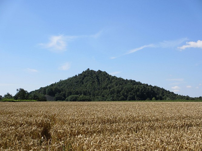
Leaving from the Tourist Information Centre, set off to discover a region with a heritage steeped in history, folklore and industry. Terrils and collieries will punctuate your 33 km route.
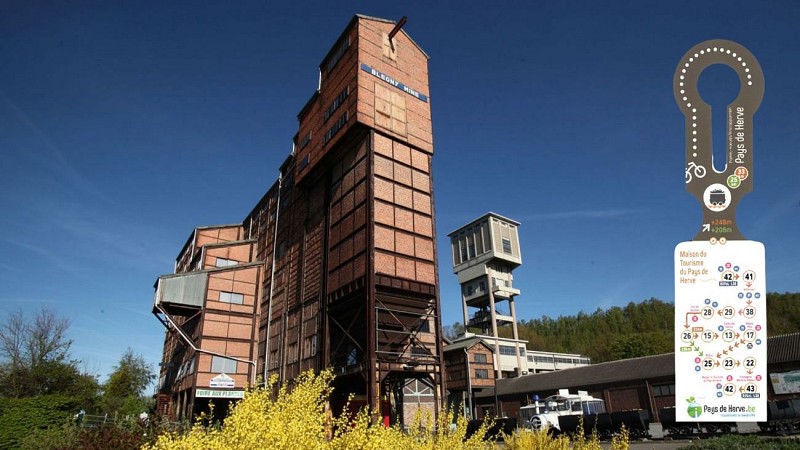
Take the famous Line 38 RAVeL to the Terril du Hasard at Retinne, where there is a wonderful sports and educational leisure area free to all. The route then takes you to the Fort de Barchon (guided tour at 2pm every 2nd Sunday from April to November). Don't miss a visit to Blegny-Mine. Along with 3 other Belgian mines, Blegny-Mine is a UNESCO World Heritage Site. As well as descending into the mine, you can observe the landscape from the top of the slag heap, relax and refresh yourself at the Puits sans Faim.
For the less courageous, there's a short-cut option, shortening your itinerary by 7km.
Don't forget to enjoy the beautiful countryside and hedged farmland of the Pays de Herve, before rejoining Line 38 to return to the starting point.
Drink, eat : in Retinne, Barchon, Blegny, Blegny-Mine and Herve
Difficulty : Medium
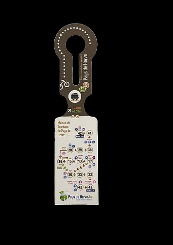
Difference in altitude: 248m
Distance : 32,6km or 24,6 km
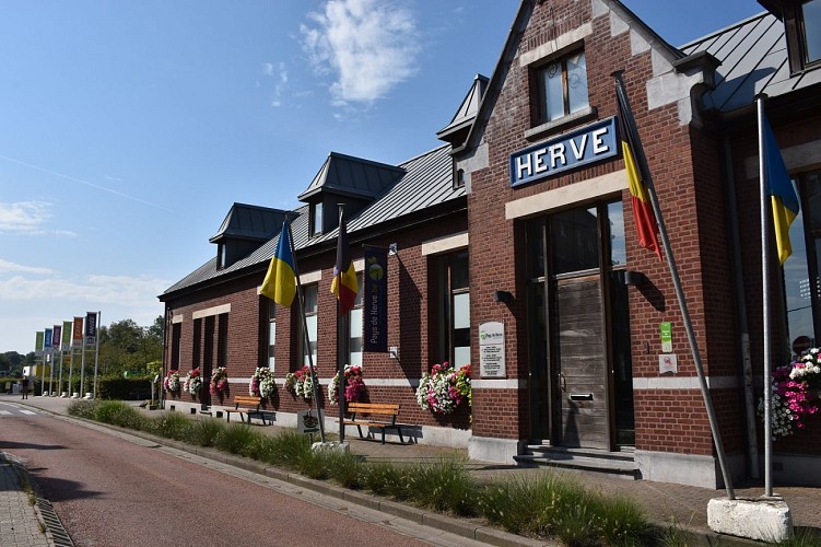
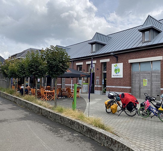
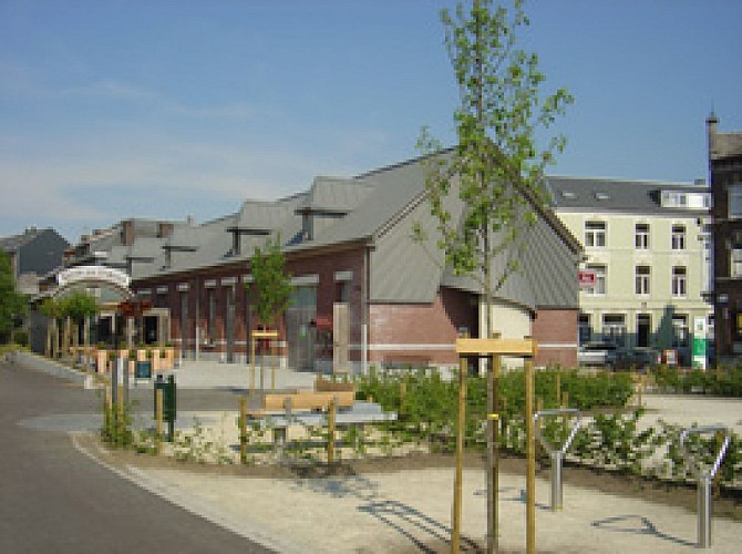
Departure point : Maison du Tourisme du Pays de Herve, Place de la Gare 1, 4650 Herve
Waypoints to follow : 42-41-38-29-28-26-(15-13-17-)25-23-22-43-42
Technical Information
Altimetric profile
Starting point
Additional information
Signalétique (EN)
N2 bis (Connection points) - Green
Data author
