Alert
Alerts
Vallon Chalets Loop - Stage 3 - Walking itinerary
Description
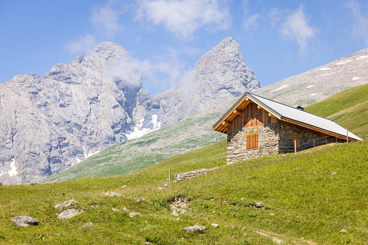
Stage 3: From the Aiguilles d'Arves refuge to Les Verneys
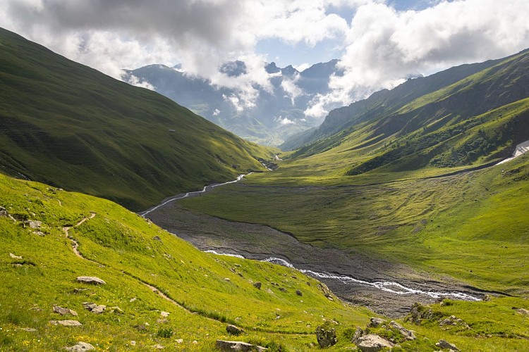
The Vallon loop offers a multi-day itinerary up to the Col de l'Épaisseur, via the Aiguilles d'Arves refuge.
Stage 3: Departure from Refuge des Aiguilles d'Arves, Les Choseaux - Verneys: 6.8 km / D+ 0 m / D- 680 m
This loop is a variant of Tour des Aiguilles d'Arves.
Technical Information
Altimetric profile
Starting point
Date and time
- From 01/06/2026 to 15/09/2026
- From 01/06/2027 to 15/09/2027
Additional information
Open period
From 01/06 to 15/09 daily.
Subject to favorable weather.
Updated by
Office de Tourisme de Valloire - 10/03/2026
www.valloire.net/
Report a problem
Environments
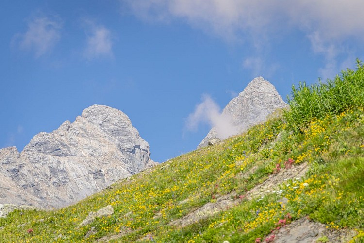
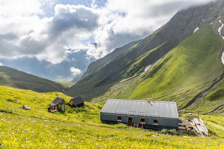
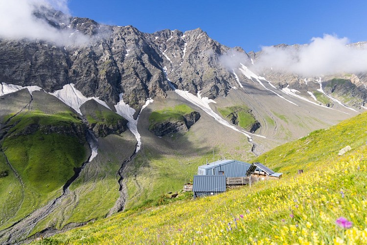
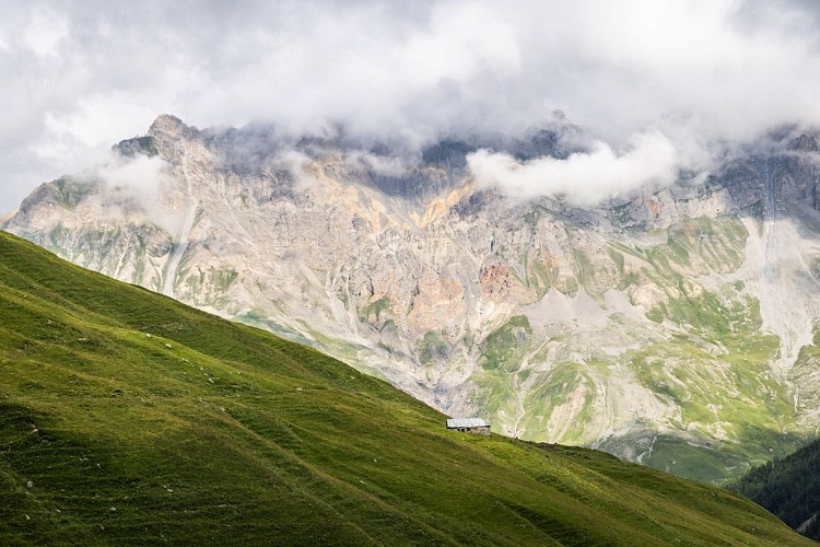
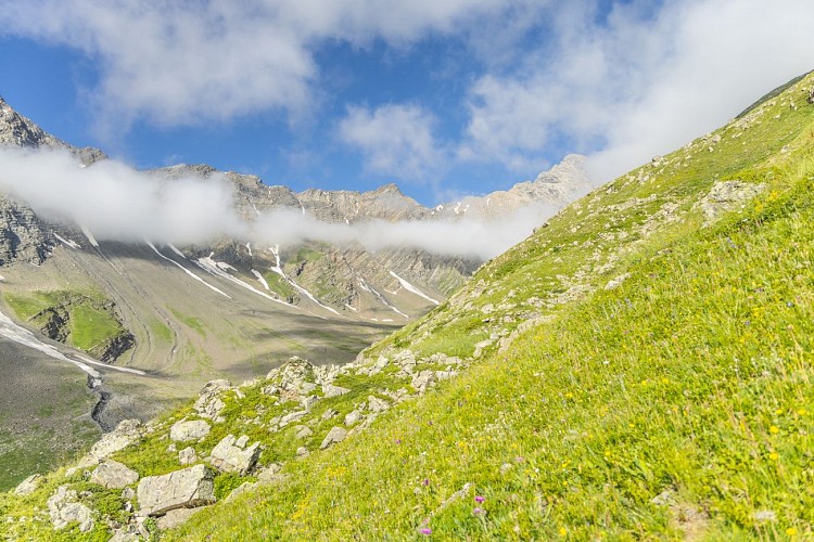
Mountain view
Panoramic view
Mountain location
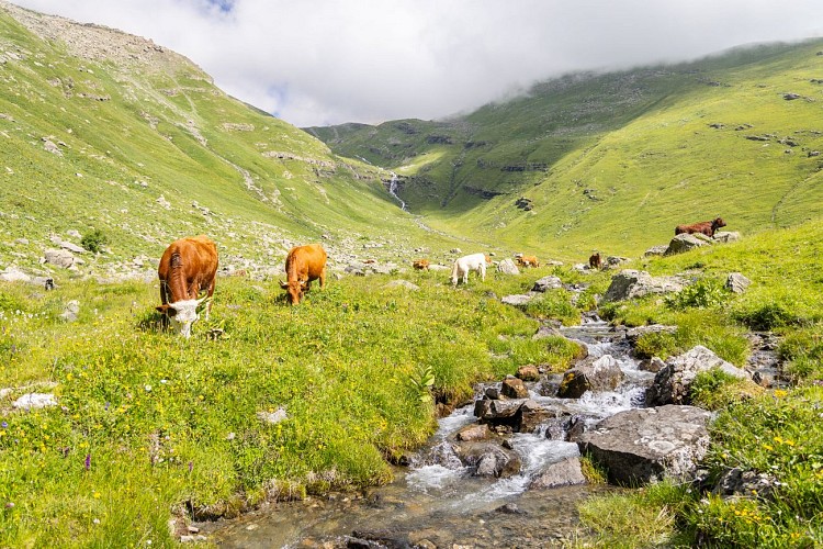
Presence of livestock and guard dogs
Contact
Phone : 04 79 59 03 96
Email : info@valloire.fr
Website : https://www.valloire.net/
Type of land
Rock
Stone
Ground
Grit
Not suitable for strollers
Topo guides and map references
Map references :
IGN map 3435ET VALLOIRE - Aiguilles d'Arves / Col du Galibier is on sale in Valloire shops.
Reception complements
To keep the mountains a pleasure, choose an activity suited to your level of experience and physical ability. Check the weather and seek advice from qualified professionals, and tell someone about your itinerary. Set off with the right equipment: good shoes and walking poles. In your rucksack, carry a water bottle and snacks to keep your energy levels up, a survival blanket or warm clothing. Protect yourself from the sun with sunscreen and sunglasses. Don't forget binoculars to add a touch of observation to your adventure.
Tricky passages
Vertiginous passage at the "Mauvais pas", just after leaving the refuge
Guidebook with maps/step-by-step
Descend from the refuge to Commandrault, then turn right onto a mountain pasture path that descends to the Les Aiguilles post just above the Chalets des Aiguilles. Turn left to descend first into the alpine pasture and then into the forest to La Rivine via La Roche Bernard. At La Rivine, turn right to cross the Valoirette and the main road. Take the track opposite along the right bank of the Valoirette as far as a footbridge. Cross the footbridge to return to the start parking lot.
Animals
No. Due to the presence of guard dogs, we strongly advise you not to bring your dog.
Data author
