Alert
Alerts
Puech espinous


Description
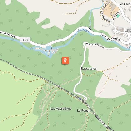
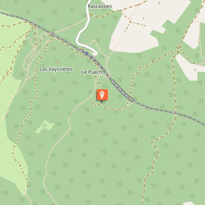
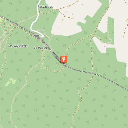
From the Cernon Valley to the Larzac plateau, between boxwood and forests, a family hike that begins with the "precious stones path”, fossil deposit and gem of geology.From the parking of La Jasse, go across the footbridge over the Cernon River, cross the road and go towards the wooden signs indicating the circuits.Take the path called “le chemin des pierres précieuses” (the gems path), then a wide stoned path, cross the road and continue straight. Pass under the railway bridge and turn right on the path of La Devèze.At the first turn, take left and follow N°2 Puech Espinous, pass by the spring gate, cross a woody area following a ditch on the left. At the end, take on the left a shaded path then pass a gate.At the end of the path, go straight. Pass next to a Canadian way by a gate, and continue on a path above the old train station. Turn right, the 50 m further turn left and enter in the Jacky’s wood (sign bois de Jacky) that you cross. Pass under the viaduct of the railway in a slope.At the bottom, at the crossroads, turn right, follow this path until you cross an uphill track, then take the path on left and pass in front of a wooden hut. You cross black bushes.Take the downhill trail on the right until you reach the next junction, then turn left at the sign “ARRIVEE” (arrival) going down a path in a meadow. Then follow to the right the path lined with boxwood from which you can see the houses of the village.
Technical Information
Altimetric profile
Starting point
Steps
Points of interest


Additional information
Public transport
Think about carpooling and hitchhiking: Rezopouce ; Aires de covoiturage
Advice
You cross sometimes classified areas, presenting protected species. Close the gate in the grazing area, don’t near the sheep, keep the animals on a leash. Stay on marked trails, respect private property and nature. Don’t pick flowers. Bring back your waste, take care of the risk of fires. Put on good shoes and take enough water. Check the weather forecast before leaving.
Is in the midst of the park
This itinerary is located in the World Heritage zone Causses and Cévennes, mediterranean agropastoral cultural landscape.
Advised parking
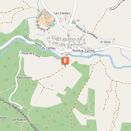
Parking de la Jasse
Access
25km south of Millau.From Millau by the D809, the D999 direction St-Affrique and the D562E.From the A75 motorway, exit n°47 - La Cavalerie, follow the D999 direction of St-Affrique and then the D562E
Arrival
Lapanouse de Cernon
Ambiance
Grey marls on the north side of the valley, limestone on the south side: this contrast is typical of the precious stone path, a geological site whose formation dated back 200 million years. The trail, rich in small pyriteous fossils, will delight the youngest. A fun start for an amazing hike!
Departure
Lapanouse de Cernon
Data author
