Alert
Alerts
Right bank Serre-Ponçon

Description
This loop takes you from the foothills of the Ecrins massif to the shores of Lake Serre-Ponçon, in a riot of colours.
From the station, head down towards Embrun town centre then, at the roundabout, turn right following the signs for "Hôpital -Urgences". Follow this avenue (Alexandre Didier) for 1 km and turn right at an imposing stone wall. Take the D9 towards Puy-Sanières and, after a short warm-up, things start to get serious with a 6km climb and an average gradient of 7%. This route offers beautiful views, while passing through wooded areas and grey marl landscapes.
Finally pass Puy-Sanières and now head towards Réallon, still on the D9. The view is unobstructed and offers a lovely vantage point over the Ecrins massif. Rock pillars, streams and marl follow one another in an environment where deciduous and coniferous trees mingle. Then head past Les Méans and, at the next junction, turn left towards Savines-le-Lac (D9).
Pass Les Rousses and, at the roundabout, continue towards Chorges (D9) for a lovely, gentle descent to the village of Saint-Apollinaire. Take a short break at the lookout (great view of Lake Serre-Ponçon) before continuing on to Chorges (D9). Continue for 5 km and, shortly after passing under a power line, take a 180° turn towards Prunières (signposted for cyclists). Continue along this pleasant road down to the N94.
Now turn right towards Briançon, staying as far to the right as possible (busy road at times). For the next 3 km, enjoy the panoramic views over the turquoise waters of the lake and the surrounding mountains. Finally, approach Savines bridge and turn left towards Puy-Sanières (D41).
Pass under the railway line, join a roundabout and head once more towards Puy-Sanières (D641).
The very last 7km climb allows you to fully appreciate the panorama all around you. Stick to this road until you reach the D9 at a crossroads. Finally, turn right and follow the same route to Embrun as on the outward journey. A lovely descent awaits you! Then it's back to where you started.
Technical Information
Altimetric profile
Starting point
Additional information
Public transport
From Gap: Zou! network : Line 69 / Frequency : 5 times a day From Briançon Zou! network : Line 69 / Frequency : Every 4 hours For more information: zou.maregionsud.fr SNCF bus For more information: www.sncf-connect.com
Advice
Respecter le sens de circulation des parcours. Respecter les autres usagers de la route. Le port du casque est obligatoire N’hésitez pas à consulter info route 05 avant de partir
Advised parking
Station car park, Embrun
Access
Follow the N94 from Gap or Briançon towards Embrun, then the town centre and station.
Arrival
Station car park, Embrun
Ambiance
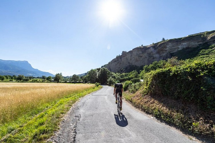
Bold ascents and fast descents await you. Panoramic views, landscapes of grey marl, torrents and larch forests follow one another along this demanding route. You won’t have much time to catch your breath, so make sure you manage your efforts well.
Departure
Station car park, Embrun
Data author
