Alert
Alerts
Around Lake Serre-Ponçon - Gravel


Description
On your marks. Get set. Go!A 5-day tour covering almost 250km and over 8,000* metres of ascent.An extraordinary sporting challenge that also offers an insight into the diversity of the Haute-Alpes region.*Due to a technical problem, the actual altitude difference on the Tour du Lac de Serre-Ponçon is around 8,000m, and not 9,000m as announced in the route specifications.
Technical Information
Altimetric profile
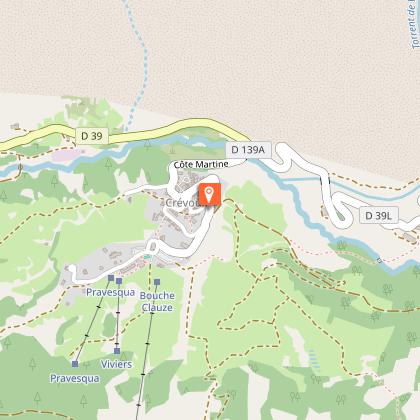
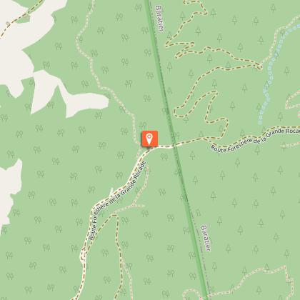
Starting point
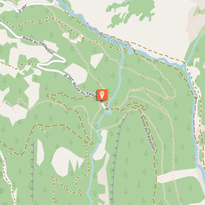
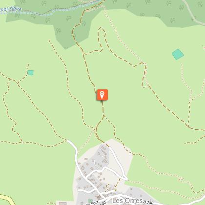
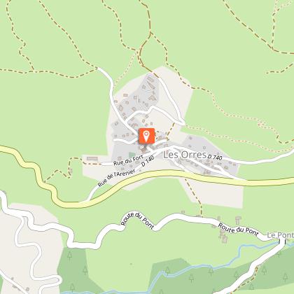
Points of interest


Additional information
Public transport
SNCF: Chorges station, Embrun www.sncf-connect.com/bus : Valserres, La Bâtie Neuve, Chorges, Puy Saint Eusèbe, Puy Sanières, Embrun Baratier, Les Orres, Remollon, Theus, EspinasseMarseille-Briançon : (LER29) Marseille, Nice : Lignes Express Régionales (LER) +33 (0)809 400 415Grenoble : Transisère +33 (0)4 26 16 38 38Gap-Barcelonnette (LER535) Carpooling area : Rond point des Orres - 05200 BaratierPlane: Marseille Provence Airport (188km) - +33 (0)820 811 414Grenoble Alpes Isère Airport (158km) - +33 (0)4 76 65 48 48Lyon Saint Exupéry Airport - (203km) +33 (0)826 800 826Turin Caselle Airport - (178km) + 39 011 567 63 81
Herd protection dogs
In mountain pastures, protection dogs are there to protect the herds from predators (wolves, etc.). When I hike I adapt my behavior by going around the herd and pausing for the dog to identify me. Find out more about the actions to adopt with the article "Protection dogs: a context and actions to adopt". Tell us about your meeting by answering this survey.
Advised parking
Station car park, Embrun
Ambiance
The Tour of Lake Serre-Ponçon (TSP) is back with a Gravel version! On the programme: great rolling DFCI tracks, interspersed with stretches of mountain gravel and amazing panoramic views. And for the particularly brave, there are a number of legendary passes and summits, including Mont Colombis, Parpaillon and Pontis. The most demanding ascent will be rewarded with one of the most beautiful balconies of this trip on the slopes of Mont Guillaume: the Chemin de la Baume.
Arrival
Embrun
Departure
Embrun
Data author
