Alert
Alerts
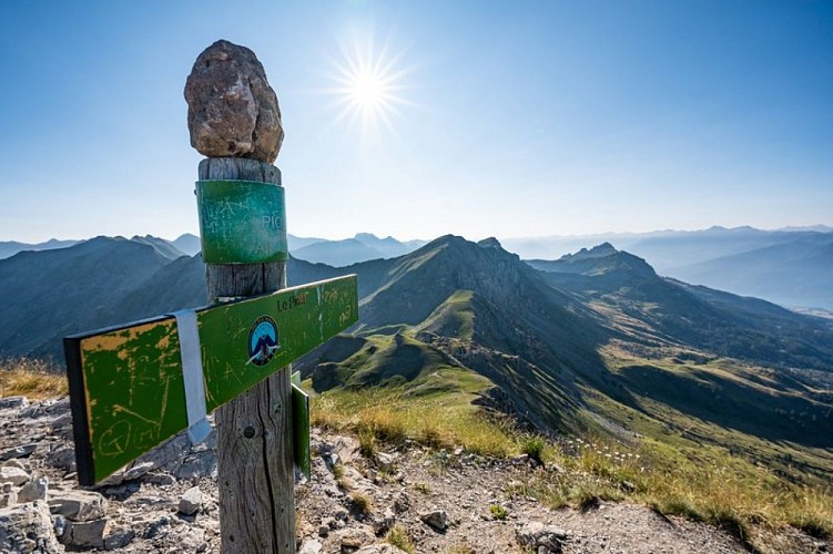
Le Piolit via the Col de Chorges
IGN cards


Description
A sporty hike that takes in the colourful mountain pastures leading up to le Piolit.
First follow the track via the yellow markings, then leave the track for a small path on the right. Once back on the track, immediately take a small path opposite. Follow this path to the track and cross it to take the path opposite. Turn left after 30 m towards the Col de Chorges. Turn left and pass a farm once you are in the mountain pastures. Turn right at a new detached house, then right again onto the track.
At a new car park, go through a gate via the pedestrian gantry then follow the track again towards the Col de Chorges. Continue straight on at the following intersection. Then take a small path on the left that leads around a cow pasture. Go through a cow gate (making sure you close it) and take the path on the left.
Ford a stream then turn right onto a small grassy path shortly afterwards. Continue straight on at the next intersection. Keep an eye out for the yellow markers in the mountain pastures. Turn right into the hollow of a small valley, then continue on a track that disappears under the grass 200m higher up.
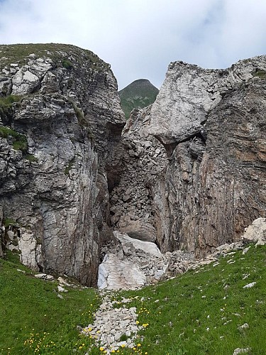
Then go along a ravine. Climb up along a scree slope where you may find a stream, then turn right away from it (yellow markers and cairns). Follow the cairns in the pastures and then cross a new scree slope. A series of scree slopes then a final difficult ramp leads to the Col de Chorges.
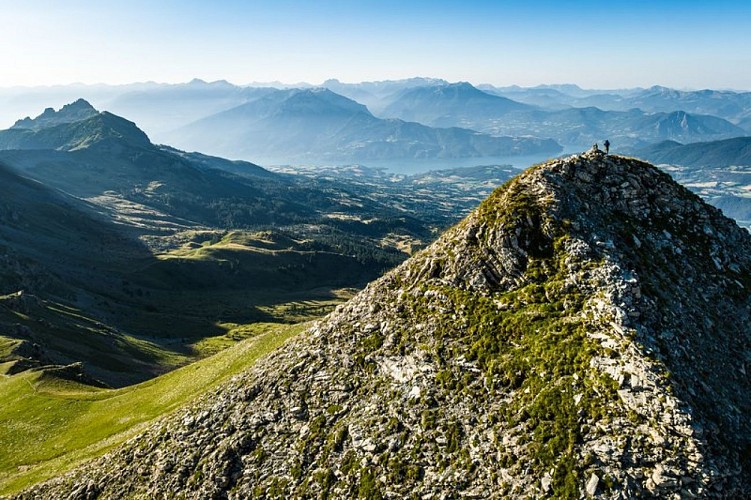
Turn left to climb Le Piolit. There is only one track but the final part is very steep and more uneven.
Technical Information
Altimetric profile
Starting point
Additional information
Advised parking
Chirouzes car park
Public transport
Public transport : ccserreponcon.com
Access
Follow the Nationale 94 from Gap or Embrun. Once in Chorges, take the D69 to the hamlet of Les Andrieux. Follow the small road as it rises to the hamlet of Naune Raze.
Ambiance
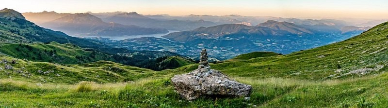
Le Piolit, the region's iconic peak, rewards the effort, with its steep gradients. This little-frequented route offers a wide variety of flowers to brighten up the climb. This bucolic atmosphere is succeeded by a rockier landscape which marks the end of the hard stretch and gradually reveals a more distant horizon from which the first 3000m of the Ecrins to the north and the lake of Serre-Ponçon to the south emerge.
Arrival
Hamlet of Naune Raze
Departure
Hamlet of Naune Raze
Data author
