Alert
Alerts
Vaucluse loop

IGN cards


Description
Admire this narrow valley from above, surrounded by majestic peaks that mark the entrance to the heart of the Parc des Ecrins.
Cross the bridge then take the small road on the left by the bar called "le Mélezin". Follow the road uphill for about 500m then go straight ahead to the hamlet of Les Tomelles.
Take a wide path and continue straight ahead on this path at the next intersection. About 200m further on, turn right at the sign for Les Granges onto a very steep track. Pass an isolated chalet and continue straight on for 50 m. Take the second turning on the right once you are back on a wide path that is less steep and not as stony.
After several hundred metres on this wide track, take a small grassy path on the left. Turn left at the next crossroads, staying on a narrow track (watch out for tight strings).
Join the track at the hamlet of Vaucluse. Turn right and follow the track as far as the sign for La Posette, where you turn right onto an uphill path. Continue until you reach a junction where you need to turn right via a more technical stretch. Continue on the narrow track, then turn left onto a stony track when the resort is in sight.
Join the track and continue straight ahead on the road. Turn left after a stone house onto a grassy path which soon becomes stony.
At the crossroads, take the track opposite then stay left at the next intersection. Follow the wide, flat road to the next intersections. Turn left at the crossroads at the end to take a track running parallel to the one used on the outward journey. Continue straight on at the crossroads to descend.
Continue straight on at the Pont de la Curé.
Technical Information
Altimetric profile
Starting point
Additional information
Advised parking
Champ Parchier
Public transport
Transports en commun : ccserreponcon.com
Access
From Savines-le-Lac, follow the D641 then the D9 before joining the D41, which becomes the D241 at Réallon.
Ambiance
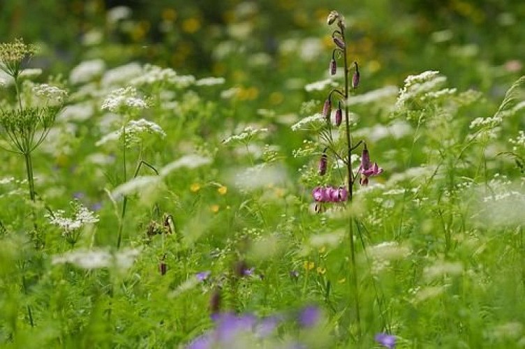
Take to the heights and make the most of this pleasant, easy route to admire the vertiginous walls in front of you. The humidity and freshness of the undergrowth are particularly welcome when the temperature rises.
Arrival
Les Gourniers, Réallon
Departure
Les Gourniers, Réallon
Data author
